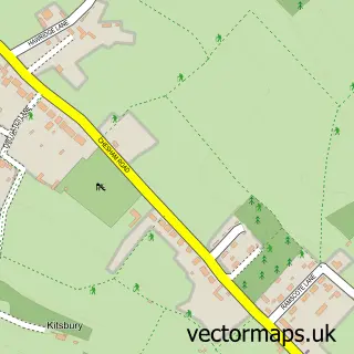
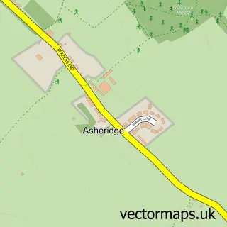
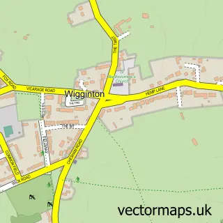
This Buckland Common street map is a detailed vector street map covering a 750m x 750m area. Select a larger area to create and download your own vector street map of Buckland Common.
The 750-metre map sample for Buckland Common covers 110 mapped buildings and approximately 26.1 km of road detail, of which 10 named roads are named. The immediate area includes 1 pub and 1 MOT station. The wider area around Buckland Common features 1 tourism point of interest and 1 food and drink venue. To create a larger or custom map of Buckland Common, the map builder lets you define your own coverage area and download editable SVG, PDF and PNG files.
Create a larger editable map of Buckland Common
Choose any area you need and generate a high-quality vector map instantly. Perfect for print, planning, design, business and personal use.

This Buckland Common street map in Buckinghamshire is available as downloadable SVG, PDF and PNG map files, or as a printed map for planning, business, display, education, local information and design work. You can also create a larger custom map area using the map selector.
What this Buckland Common map sample shows
Buckland Common lies within Cholesbury-Cum-St. Leonards Cp parish, part of Cholesbury, The Lee And Bellingdon ward in the Buckinghamshire local authority area. The postcode geography for this area includes the HP postcode area, the HP23 postcode district and the HP23 6 postcode sector. Residents fall under the Nhs Buckinghamshire, Oxfordshire And Berkshire West Integrated Care Board for NHS services.
Local features near Buckland Common
Within 2 milesAmenities and services in and around Buckland Common.
Administrative and postcode information for Buckland Common
The local authority covering Buckland Common is Buckinghamshire, within the county of Buckinghamshire. The settlement lies within Cholesbury, The Lee And Bellingdon ward and Cholesbury-Cum-St. Leonards Cp civil parish. The HP23 postcode district and HP23 6 postcode sector serve the immediate area. NHS provision in the area is delivered through Buckinghamshire Healthcare Nhs Trust.
Nearby street map samples around Buckland Common

More street maps in Buckinghamshire
750 metre map area coverage
Boundary, postcode and point of interest information for the 750m x 750m rectangle centred on this sample map.
Boundaries containing map centre
Constituency: Mid Buckinghamshire Co Const
District: Buckinghamshire
Icb: NHS Thames Valley ICB
Parish: Cholesbury-cum-St. Leonards CP
Police Force: thames valley
Postcode District: HP23
Postcode Sector: HP23 6
Ward: Chesham North Ward
Nearby boundaries intersecting sample
No additional intersecting boundaries found.
Postcode coverage
POI category counts
Automotive Repair: 1
Interior Design: 1
Land Surveying: 1
Landmark And Historical Building: 1
Naturopathic Holistic: 1
Pet Groomer: 1
Pub: 1
Tutoring Center: 1
Sample points of interest
- Chiltern Motors BC Ltd
- Hazel Morris Interiors
- Osborne & Co
- Buckland Common
- Karuna Aspire
- Megan Cross Grooming
- White Lion
- Alex Pemberton Tutoring
Create a larger editable map of Buckland Common
This sample shows only a 750 metre area. To create a larger map of Buckland Common, use our map builder to choose your own coverage area, add titles and download editable SVG, PDF and PNG files.
Create a custom map of Buckland Common