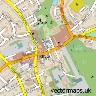
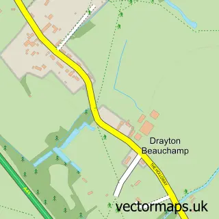
This Wigginton street map is a detailed vector street map covering a 750m x 750m area. Select a larger area to create and download your own vector street map of Wigginton.
The 750-metre map sample for Wigginton covers 162 mapped buildings and approximately 14.1 km of road detail, of which 13 named roads are named. The immediate area includes 1 school, 1 GP surgery within 2 miles, 1 pub and 4 MOT stations within 2 miles. The wider area around Wigginton features 2 food and drink venues. To create a larger or custom map of Wigginton, the map builder lets you define your own coverage area and download editable SVG, PDF and PNG files.
Create a larger editable map of Wigginton
Choose any area you need and generate a high-quality vector map instantly. Perfect for print, planning, design, business and personal use.

This Wigginton street map in Hertfordshire is available as downloadable SVG, PDF and PNG map files, or as a printed map for planning, business, display, education, local information and design work. You can also create a larger custom map area using the map selector.
What this Wigginton map sample shows
Wigginton lies within Wigginton Cp parish, part of Aldbury And Wigginton ward in the Dacorum District (B) local authority area. The postcode geography for this area includes the HP postcode area, the HP23 postcode district and the HP23 6 postcode sector. Residents fall under the Nhs Hertfordshire And West Essex Integrated Care Board for NHS services.
Local features near Wigginton
Within 2 milesAmenities and services in and around Wigginton.
Administrative and postcode information for Wigginton
The local authority covering Wigginton is Dacorum District (B), within the county of Hertfordshire. The settlement lies within Aldbury And Wigginton ward and Wigginton Cp civil parish. The HP23 postcode district and HP23 6 postcode sector serve the immediate area. NHS provision in the area is delivered through Buckinghamshire Healthcare Nhs Trust.
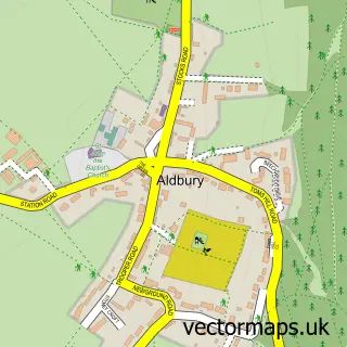
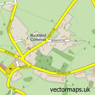
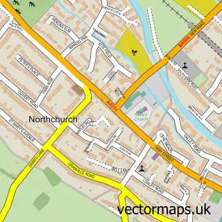
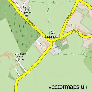
Nearby street map samples around Wigginton

More street maps in Hertfordshire
750 metre map area coverage
Boundary, postcode and point of interest information for the 750m x 750m rectangle centred on this sample map.
Boundaries containing map centre
Constituency: Harpenden and Berkhamsted Co Const
County: Hertfordshire County
District: Dacorum District (B)
Icb: NHS Central East ICB
Parish: Wigginton CP
Police Force: hertfordshire
Postcode District: HP23
Postcode Sector: HP23 6
Ward: Aldbury and Wigginton Ward
Nearby boundaries intersecting sample
No additional intersecting boundaries found.
Postcode coverage
POI category counts
Advertising Agency: 1
Anglican Church: 1
Baptist Church: 1
Business Consulting: 1
Cafe: 1
Church Cathedral: 1
Education: 1
Elementary School: 1
Furniture Manufacturers: 1
Grocery Store: 1
Sample points of interest
- Wheway Lifestyle International
- ST. BARTHOLOMEW (ST BARTS)
- Wigginton Baptist Chapel
- Rossway Consulting
- Wigginton Community Shop
- St. Bartholomew's Wigginton
- Sensory Babies
- St Bartholomew's Church of England School
- A W Burch Kitchens & Bedrooms
- The Wigginton Village Shop and Cafe
- Zumba Classes in Chesham by Body Rescue
- Wigginton Playground
Create a larger editable map of Wigginton
This sample shows only a 750 metre area. To create a larger map of Wigginton, use our map builder to choose your own coverage area, add titles and download editable SVG, PDF and PNG files.
Create a custom map of Wigginton