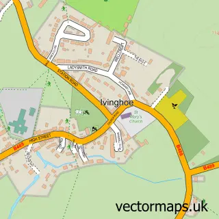
This Aldbury street map is a detailed vector street map covering a 750m x 750m area. Select a larger area to create and download your own vector street map of Aldbury.
The 750-metre map sample for Aldbury covers 171 mapped buildings and approximately 13.8 km of road detail, of which 10 named roads are named. The immediate area includes 1 school, 2 pubs and 1 MOT station within 2 miles. The wider area around Aldbury features 4 food and drink venues and 1 hotel. To create a larger or custom map of Aldbury, the map builder lets you define your own coverage area and download editable SVG, PDF and PNG files.
Create a larger editable map of Aldbury
Choose any area you need and generate a high-quality vector map instantly. Perfect for print, planning, design, business and personal use.

This Aldbury street map in Hertfordshire is available as downloadable SVG, PDF and PNG map files, or as a printed map for planning, business, display, education, local information and design work. You can also create a larger custom map area using the map selector.
What this Aldbury map sample shows
Aldbury lies within Aldbury Cp parish, part of Aldbury And Wigginton ward in the Dacorum District (B) local authority area. The postcode geography for this area includes the HP postcode area, the HP23 postcode district and the HP23 5 postcode sector. Residents fall under the Nhs Hertfordshire And West Essex Integrated Care Board for NHS services.
Local features near Aldbury
Within 2 milesAmenities and services in and around Aldbury.
Administrative and postcode information for Aldbury
Aldbury lies within Aldbury Cp parish, part of Aldbury And Wigginton ward in the Dacorum District (B) local authority area. The postcode geography for this area includes the HP postcode area, the HP23 postcode district and the HP23 5 postcode sector. Residents fall under the Nhs Hertfordshire And West Essex Integrated Care Board for NHS services.
Nearby street map samples around Aldbury


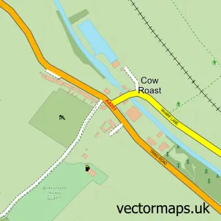

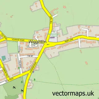
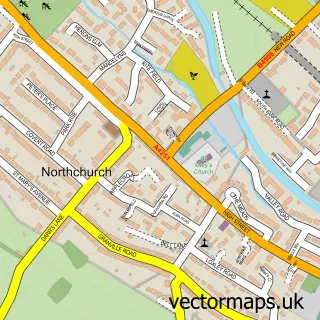
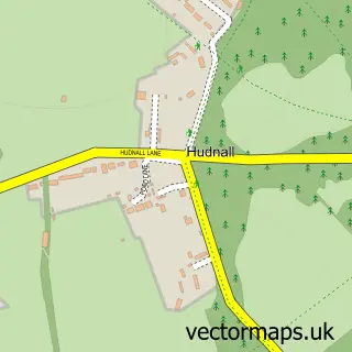
More street maps in Hertfordshire
750 metre map area coverage
Boundary, postcode and point of interest information for the 750m x 750m rectangle centred on this sample map.
Boundaries containing map centre
Constituency: Harpenden and Berkhamsted Co Const
County: Hertfordshire County
District: Dacorum District (B)
Icb: NHS Central East ICB
Parish: Aldbury CP
Police Force: hertfordshire
Postcode District: HP23
Postcode Sector: HP23 5
Ward: Aldbury and Wigginton Ward
Nearby boundaries intersecting sample
Postcode District: HP4
Postcode Sector: HP4 1
Postcode coverage
POI category counts
Building Supply Store: 2
Cafe: 2
Church Cathedral: 2
Elementary School: 2
Post Office: 2
Professional Services: 2
Pub: 2
Veterinarian: 2
Anglican Church: 1
Arts And Entertainment: 1
Sample points of interest
- Aldbury: St John the Baptist
- Sally Bassett
- Propart Interiors
- Boxmoor Roofing
- all-trades-in-one
- Church Farm Cafe
- Musette
- Saint John the Baptist Aldbury
- St John the Baptist's Church
- Aldbury Memorial Hall
- Systema Solutions Ltd
- Aldbury Village Store
Create a larger editable map of Aldbury
This sample shows only a 750 metre area. To create a larger map of Aldbury, use our map builder to choose your own coverage area, add titles and download editable SVG, PDF and PNG files.
Create a custom map of Aldbury