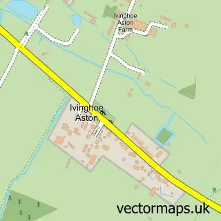
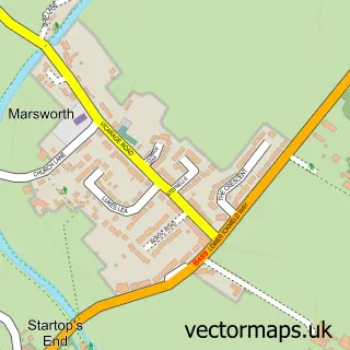
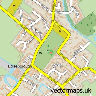
This Ivinghoe street map is a detailed vector street map covering a 750m x 750m area. Select a larger area to create and download your own vector street map of Ivinghoe.
The 750-metre map sample for Ivinghoe covers 216 mapped buildings and approximately 16.4 km of road detail, of which 14 named roads are named. The immediate area includes 1 school, 1 pub and 1 MOT station within 2 miles. The wider area around Ivinghoe features 1 tourism point of interest, 2 food and drink venues and 1 campsite within 2 miles. To create a larger or custom map of Ivinghoe, the map builder lets you define your own coverage area and download editable SVG, PDF and PNG files.
Create a larger editable map of Ivinghoe
Choose any area you need and generate a high-quality vector map instantly. Perfect for print, planning, design, business and personal use.

This Ivinghoe street map in Buckinghamshire is available as downloadable SVG, PDF and PNG map files, or as a printed map for planning, business, display, education, local information and design work. You can also create a larger custom map area using the map selector.
What this Ivinghoe map sample shows
Ivinghoe lies within Ivinghoe Cp parish, part of Pitstone & Cheddington ward in the Buckinghamshire local authority area. The postcode geography for this area includes the LU postcode area, the LU7 postcode district and the LU7 9 postcode sector. Residents fall under the Nhs Buckinghamshire, Oxfordshire And Berkshire West Integrated Care Board for NHS services.
Local features near Ivinghoe
Within 2 milesAmenities and services in and around Ivinghoe.
Administrative and postcode information for Ivinghoe
The local authority covering Ivinghoe is Buckinghamshire, within the county of Buckinghamshire. The settlement lies within Pitstone & Cheddington ward and Ivinghoe Cp civil parish. The LU7 postcode district and LU7 9 postcode sector serve the immediate area. NHS provision in the area is delivered through Buckinghamshire Healthcare Nhs Trust.
Nearby street map samples around Ivinghoe
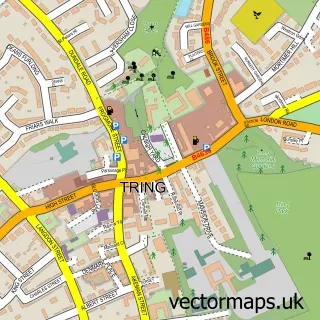

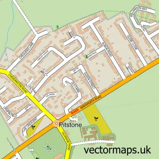
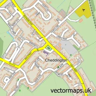
More street maps in Buckinghamshire
750 metre map area coverage
Boundary, postcode and point of interest information for the 750m x 750m rectangle centred on this sample map.
Boundaries containing map centre
Constituency: Aylesbury Co Const
District: Buckinghamshire
Icb: NHS Thames Valley ICB
Parish: Ivinghoe CP
Police Force: thames valley
Postcode District: LU7
Postcode Sector: LU7 9
Ward: Ivinghoe Ward
Nearby boundaries intersecting sample
Parish: Pitstone CP
Postcode coverage
POI category counts
Golf Course: 2
Indian Restaurant: 2
It Service And Computer Repair: 2
Library: 2
Anglican Church: 1
Bike Rentals: 1
Cafe: 1
Church Cathedral: 1
Convenience Store: 1
Event Planning: 1
Sample points of interest
- Ivinghoe St Mary
- daisychain cafe & bike hire
- Curiositea Rooms
- Ivinghoe St Marys Church
- Londis
- Mister Tacho Ltd
- The Green Room
- The Rose and Crown
- Ivinghoe Golf Club
- Ivinghoe Golf Course
- Demiurge Design
- YHA
Create a larger editable map of Ivinghoe
This sample shows only a 750 metre area. To create a larger map of Ivinghoe, use our map builder to choose your own coverage area, add titles and download editable SVG, PDF and PNG files.
Create a custom map of Ivinghoe