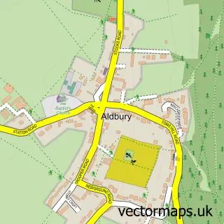
This Pitstone street map is a detailed vector street map covering a 750m x 750m area. Select a larger area to create and download your own vector street map of Pitstone.
The 750-metre map sample for Pitstone covers 420 mapped buildings and approximately 22.2 km of road detail, of which 23 named roads are named. The immediate area includes 2 MOT stations within 2 miles. The wider area around Pitstone features 2 tourism points of interest, 3 food and drink venues and 1 campsite within 2 miles. To create a larger or custom map of Pitstone, the map builder lets you define your own coverage area and download editable SVG, PDF and PNG files.
Create a larger editable map of Pitstone
Choose any area you need and generate a high-quality vector map instantly. Perfect for print, planning, design, business and personal use.

This Pitstone street map in Buckinghamshire is available as downloadable SVG, PDF and PNG map files, or as a printed map for planning, business, display, education, local information and design work. You can also create a larger custom map area using the map selector.
What this Pitstone map sample shows
Pitstone lies within Pitstone Cp parish, part of Pitstone & Cheddington ward in the Buckinghamshire local authority area. The postcode geography for this area includes the LU postcode area, the LU7 postcode district and the LU7 9 postcode sector. Residents fall under the Nhs Buckinghamshire, Oxfordshire And Berkshire West Integrated Care Board for NHS services.
Local features near Pitstone
Within 2 milesAmenities and services in and around Pitstone.
Administrative and postcode information for Pitstone
Pitstone lies within Pitstone Cp parish, part of Pitstone & Cheddington ward in the Buckinghamshire local authority area. The postcode geography for this area includes the LU postcode area, the LU7 postcode district and the LU7 9 postcode sector. Residents fall under the Nhs Buckinghamshire, Oxfordshire And Berkshire West Integrated Care Board for NHS services.
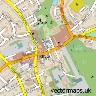
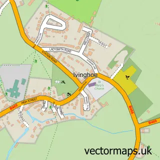
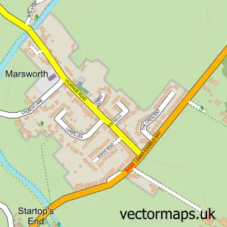
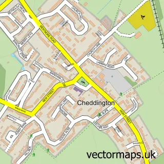
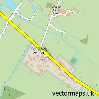
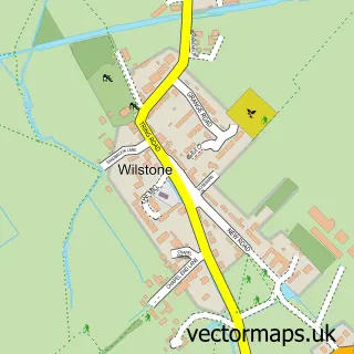
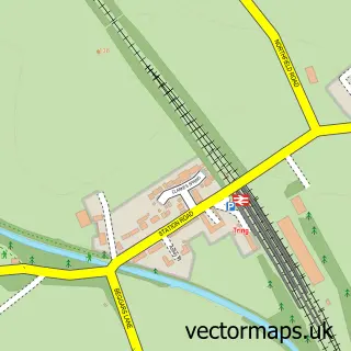
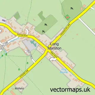
Nearby street map samples around Pitstone

More street maps in Buckinghamshire
750 metre map area coverage
Boundary, postcode and point of interest information for the 750m x 750m rectangle centred on this sample map.
Boundaries containing map centre
Constituency: Aylesbury Co Const
District: Buckinghamshire
Icb: NHS Thames Valley ICB
Parish: Pitstone CP
Police Force: thames valley
Postcode District: LU7
Postcode Sector: LU7 9
Ward: Ivinghoe Ward
Nearby boundaries intersecting sample
No additional intersecting boundaries found.
Postcode coverage
POI category counts
Convenience Store: 3
Cafe: 2
Doctor: 2
Museum: 2
Art School: 1
Automotive Repair: 1
Beauty And Spa: 1
Burger Restaurant: 1
Business Advertising: 1
Business Consulting: 1
Sample points of interest
- Glorious Creative Studio
- The Tyre Changers
- emma turvey beauty
- Chunkies Chicken
- Purity Productions
- Strategy Hr
- New May Fu
- The Albion House Bakery and Cafe Limited
- Elke's Kitchen
- Three Counties Builders Ltd.
- Jess New May Fu Ltd.
- Pitstone Memorial Hall
Create a larger editable map of Pitstone
This sample shows only a 750 metre area. To create a larger map of Pitstone, use our map builder to choose your own coverage area, add titles and download editable SVG, PDF and PNG files.
Create a custom map of Pitstone