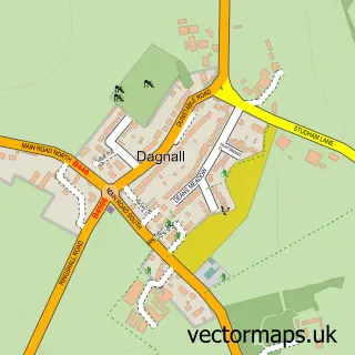
This Little Gaddesden street map is a detailed vector street map covering a 750m x 750m area. Select a larger area to create and download your own vector street map of Little Gaddesden.
The 750-metre map sample for Little Gaddesden covers 101 mapped buildings and approximately 10.3 km of road detail, of which 4 named roads are named. The immediate area includes 1 school. To create a larger or custom map of Little Gaddesden, the map builder lets you define your own coverage area and download editable SVG, PDF and PNG files.
Create a larger editable map of Little Gaddesden
Choose any area you need and generate a high-quality vector map instantly. Perfect for print, planning, design, business and personal use.

This Little Gaddesden street map in Hertfordshire is available as downloadable SVG, PDF and PNG map files, or as a printed map for planning, business, display, education, local information and design work. You can also create a larger custom map area using the map selector.
What this Little Gaddesden map sample shows
Little Gaddesden lies within Little Gaddesden Cp parish, part of Ashridge ward in the Dacorum District (B) local authority area. The postcode geography for this area includes the HP postcode area, the HP4 postcode district and the HP4 1 postcode sector. Residents fall under the Nhs Hertfordshire And West Essex Integrated Care Board for NHS services.
Local features near Little Gaddesden
Within 2 milesAmenities and services in and around Little Gaddesden.
Administrative and postcode information for Little Gaddesden
The local authority covering Little Gaddesden is Dacorum District (B), within the county of Hertfordshire. The settlement lies within Ashridge ward and Little Gaddesden Cp civil parish. The HP4 postcode district and HP4 1 postcode sector serve the immediate area. NHS provision in the area is delivered through West Hertfordshire Teaching Hospitals Nhs Trust.
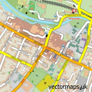
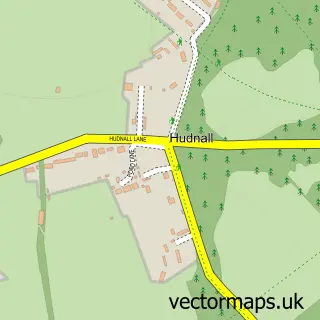
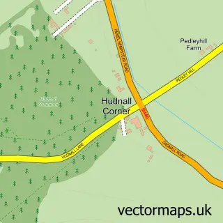
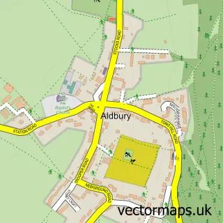
Nearby street map samples around Little Gaddesden

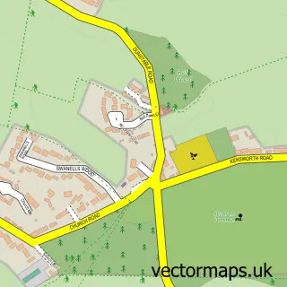
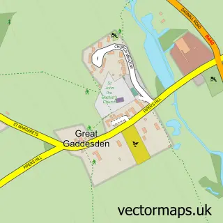
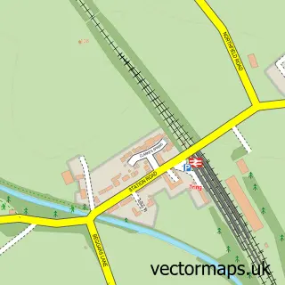
More street maps in Hertfordshire
750 metre map area coverage
Boundary, postcode and point of interest information for the 750m x 750m rectangle centred on this sample map.
Boundaries containing map centre
Constituency: Harpenden and Berkhamsted Co Const
County: Hertfordshire County
District: Dacorum District (B)
Icb: NHS Central East ICB
Parish: Little Gaddesden CP
Police Force: hertfordshire
Postcode District: HP4
Postcode Sector: HP4 1
Ward: Ashridge Ward
Nearby boundaries intersecting sample
No additional intersecting boundaries found.
Postcode coverage
POI category counts
Scout Hall: 2
Sports Club And League: 2
Active Life: 1
Bus Station: 1
Convenience Store: 1
Elementary School: 1
Event Planning: 1
Jewelry Store: 1
Nursery And Gardening: 1
Outdoor Gear: 1
Sample points of interest
- Gaddesden Gallop
- Little Gaddesden, adj War Memorial
- Londis
- Little Gaddesden
- Acrobat Productions Ltd
- Morning Mrs Magpie
- Little Gaddesden VPA Store
- The Vintage Tent Company
- Little Gaddesden Preschool and Forest School
- 1st Little Gaddesden
- Crong Explorer Scouts
- LGBCC : Little Gaddesden Bowls & Croquet Club
Create a larger editable map of Little Gaddesden
This sample shows only a 750 metre area. To create a larger map of Little Gaddesden, use our map builder to choose your own coverage area, add titles and download editable SVG, PDF and PNG files.
Create a custom map of Little Gaddesden