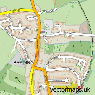
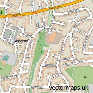
This Bembridge street map is a detailed vector street map covering a 750m x 750m area. Select a larger area to create and download your own vector street map of Bembridge.
The 750-metre map sample for Bembridge covers 683 mapped buildings and approximately 15.9 km of road detail, of which 36 named roads are named. The immediate area includes 1 GP surgery within 2 miles, 1 pub and 2 MOT stations within 2 miles. The wider area around Bembridge features 2 tourism points of interest, 10 food and drink venues and 2 hotels. To create a larger or custom map of Bembridge, the map builder lets you define your own coverage area and download editable SVG, PDF and PNG files.
Create a larger editable map of Bembridge
Choose any area you need and generate a high-quality vector map instantly. Perfect for print, planning, design, business and personal use.

This Bembridge street map in Isle of Wight is available as downloadable SVG, PDF and PNG map files, or as a printed map for planning, business, display, education, local information and design work. You can also create a larger custom map area using the map selector.
What this Bembridge map sample shows
Bembridge lies within Bembridge Cp parish, part of Brading, St Helens And Bembridge ward in the Isle Of Wight local authority area. The postcode geography for this area includes the PO postcode area, the PO35 postcode district and the PO35 5 postcode sector. Residents fall under the Nhs Hampshire And Isle Of Wight Integrated Care Board for NHS services.
Local features near Bembridge
Within 2 milesAmenities and services in and around Bembridge.
Administrative and postcode information for Bembridge
Bembridge lies within Bembridge Cp parish, part of Brading, St Helens And Bembridge ward in the Isle Of Wight local authority area. The postcode geography for this area includes the PO postcode area, the PO35 postcode district and the PO35 5 postcode sector. Residents fall under the Nhs Hampshire And Isle Of Wight Integrated Care Board for NHS services.
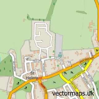
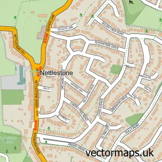
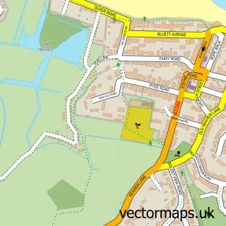
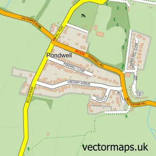
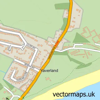
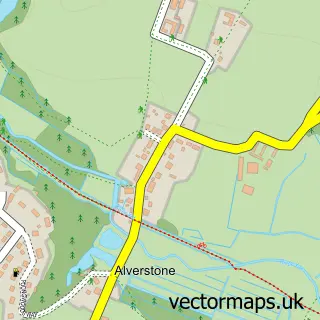
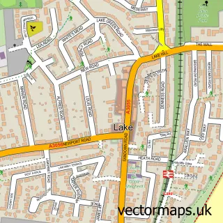
Nearby street map samples around Bembridge

More street maps in Isle of Wight
750 metre map area coverage
Boundary, postcode and point of interest information for the 750m x 750m rectangle centred on this sample map.
Boundaries containing map centre
Constituency: Isle of Wight East Co Const
District: Isle of Wight
Icb: NHS Hampshire and Isle of Wight ICB
Parish: Bembridge CP
Police Force: hampshire
Postcode District: PO35
Postcode Sector: PO35 5
Nearby boundaries intersecting sample
No additional intersecting boundaries found.
Postcode coverage
POI category counts
Cafe: 5
Beauty Salon: 3
Building Supply Store: 3
Flowers And Gifts Shop: 3
Real Estate Agent: 3
Retirement Home: 3
Art Gallery: 2
Atms: 2
British Restaurant: 2
Chinese Restaurant: 2
Sample points of interest
- The Osteopath & Sports Injury Clinic
- St Luke Mission Church
- ClayClay
- Island Fine Arts
- Longridge Mount Cutters
- Abbeyfield Bembridge Society
- Co-Op Welcome - Bembridge (Southern Co-Op Franchise)
- The Southern Co-Operative Bembridge Sherbourne Street, Sherbourne Street
- Archer's Speed Shop
- Bembridge Bakery
- Lloyds Bank
- Bembridge Barbers
Create a larger editable map of Bembridge
This sample shows only a 750 metre area. To create a larger map of Bembridge, use our map builder to choose your own coverage area, add titles and download editable SVG, PDF and PNG files.
Create a custom map of Bembridge