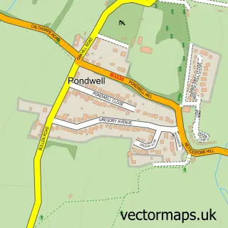
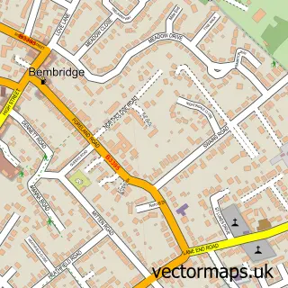
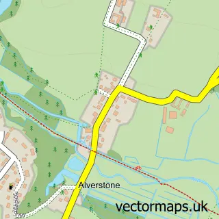
This Nettlestone street map is a detailed vector street map covering a 750m x 750m area. Select a larger area to create and download your own vector street map of Nettlestone.
The 750-metre map sample for Nettlestone covers 571 mapped buildings and approximately 17.5 km of road detail, of which 31 named roads are named. The immediate area includes 1 school, 2 GP surgeries within 2 miles and 5 MOT stations within 2 miles. The wider area around Nettlestone features 1 campsite within 2 miles. To create a larger or custom map of Nettlestone, the map builder lets you define your own coverage area and download editable SVG, PDF and PNG files.
Create a larger editable map of Nettlestone
Choose any area you need and generate a high-quality vector map instantly. Perfect for print, planning, design, business and personal use.

This Nettlestone street map in Isle of Wight is available as downloadable SVG, PDF and PNG map files, or as a printed map for planning, business, display, education, local information and design work. You can also create a larger custom map area using the map selector.
What this Nettlestone map sample shows
Nettlestone lies within Nettlestone And Seaview Cp parish, part of Nettlestone And Seaview ward in the Isle Of Wight local authority area. The postcode geography for this area includes the PO postcode area, the PO34 postcode district and the PO34 5 postcode sector. Residents fall under the Nhs Hampshire And Isle Of Wight Integrated Care Board for NHS services.
Local features near Nettlestone
Within 2 milesAmenities and services in and around Nettlestone.
Administrative and postcode information for Nettlestone
The local authority covering Nettlestone is Isle Of Wight, within the county of Isle Of Wight. The settlement lies within Nettlestone And Seaview ward and Nettlestone And Seaview Cp civil parish. The PO34 postcode district and PO34 5 postcode sector serve the immediate area. NHS provision in the area is delivered through Isle Of Wight Nhs Trust.
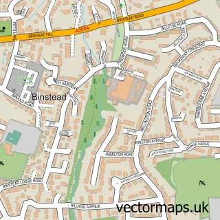
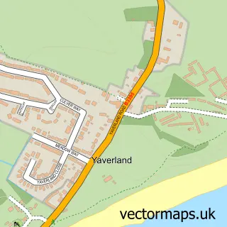
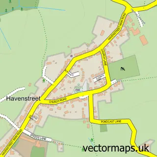
Nearby street map samples around Nettlestone
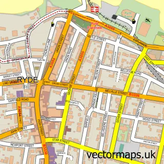

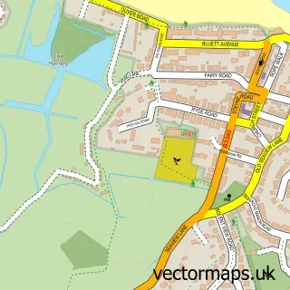
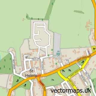
More street maps in Isle of Wight
750 metre map area coverage
Boundary, postcode and point of interest information for the 750m x 750m rectangle centred on this sample map.
Boundaries containing map centre
Constituency: Isle of Wight East Co Const
District: Isle of Wight
Icb: NHS Hampshire and Isle of Wight ICB
Parish: Nettlestone and Seaview CP
Police Force: hampshire
Postcode District: PO34
Postcode Sector: PO34 5
Nearby boundaries intersecting sample
No additional intersecting boundaries found.
Postcode coverage
POI category counts
Convenience Store: 3
Business Consulting: 2
Liquor Store: 2
Yoga Studio: 2
Accommodation: 1
Accountant: 1
Automotive Services And Repair: 1
Baby Gear And Furniture: 1
Child Care And Day Care: 1
Cosmetic And Beauty Supplies: 1
Sample points of interest
- Shima Bonsai, Isle of Wight
- Peter Wyatt Accountancy Services
- Iwpc S
- Yasmin's Treasures
- Chaordic Solutions Limited
- Project Systems Support
- Chatterbox Nursery
- Londis VIC'S STORES
- Nisa Local
- Vic's Stores
- Land of Roses
- Nettlestone Primary School
Create a larger editable map of Nettlestone
This sample shows only a 750 metre area. To create a larger map of Nettlestone, use our map builder to choose your own coverage area, add titles and download editable SVG, PDF and PNG files.
Create a custom map of Nettlestone