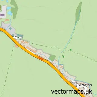
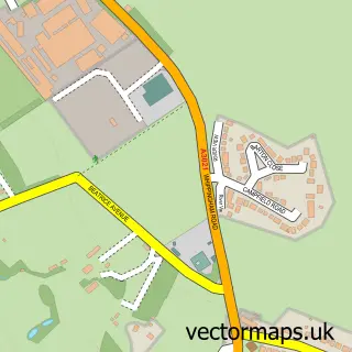
This Havenstreet street map is a detailed vector street map covering a 750m x 750m area. Select a larger area to create and download your own vector street map of Havenstreet.
The 750-metre map sample for Havenstreet covers 202 mapped buildings and approximately 8.6 km of road detail, of which 8 named roads are named. The immediate area includes 1 GP surgery within 2 miles, 1 pub and 1 MOT station, with 3 within 2 miles. The wider area around Havenstreet features 1 food and drink venue. To create a larger or custom map of Havenstreet, the map builder lets you define your own coverage area and download editable SVG, PDF and PNG files.
Create a larger editable map of Havenstreet
Choose any area you need and generate a high-quality vector map instantly. Perfect for print, planning, design, business and personal use.

This Havenstreet street map in Isle of Wight is available as downloadable SVG, PDF and PNG map files, or as a printed map for planning, business, display, education, local information and design work. You can also create a larger custom map area using the map selector.
What this Havenstreet map sample shows
Havenstreet lies within Havenstreet And Ashey Cp parish, part of Havenstreet, Ashey And Haylands ward in the Isle Of Wight local authority area. The postcode geography for this area includes the PO postcode area, the PO33 postcode district and the PO33 4 postcode sector. Residents fall under the Nhs Hampshire And Isle Of Wight Integrated Care Board for NHS services.
Local features near Havenstreet
Within 2 milesAmenities and services in and around Havenstreet.
Administrative and postcode information for Havenstreet
Havenstreet lies within Havenstreet And Ashey Cp parish, part of Havenstreet, Ashey And Haylands ward in the Isle Of Wight local authority area. The postcode geography for this area includes the PO postcode area, the PO33 postcode district and the PO33 4 postcode sector. Residents fall under the Nhs Hampshire And Isle Of Wight Integrated Care Board for NHS services.
Nearby street map samples around Havenstreet

More street maps in Isle of Wight
750 metre map area coverage
Boundary, postcode and point of interest information for the 750m x 750m rectangle centred on this sample map.
Boundaries containing map centre
Constituency: Isle of Wight East Co Const
District: Isle of Wight
Icb: NHS Hampshire and Isle of Wight ICB
Parish: Havenstreet and Ashey CP
Police Force: hampshire
Postcode District: PO33
Postcode Sector: PO33 4
Nearby boundaries intersecting sample
No additional intersecting boundaries found.
Postcode coverage
POI category counts
Community Center: 2
Active Life: 1
Air Duct Cleaning Service: 1
Arts And Crafts: 1
Assisted Living Facility: 1
Automotive Repair: 1
Bridal Shop: 1
Church Cathedral: 1
Construction Services: 1
Grocery Store: 1
Sample points of interest
- Alison Thorogood Training & Coaching
- Green Clean
- Firestone Studios
- Holmdale House
- A.S Breakdown Recovery & Mobile Mechanic
- Arrow Photography
- St Peter's Church
- Havensteet Community Centre
- Havenstreet Community Centre
- S Whittington Ltd
- The Little Cow Shed, Havenstreet
- S Whittington Ltd.
Create a larger editable map of Havenstreet
This sample shows only a 750 metre area. To create a larger map of Havenstreet, use our map builder to choose your own coverage area, add titles and download editable SVG, PDF and PNG files.
Create a custom map of Havenstreet