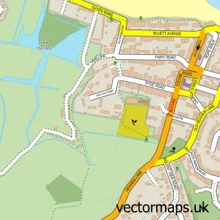
This Fishbourne street map is a detailed vector street map covering a 750m x 750m area. Select a larger area to create and download your own vector street map of Fishbourne.
The 750-metre map sample for Fishbourne covers 171 mapped buildings and approximately 5.0 km of road detail, of which 5 named roads are named. The immediate area includes 1 GP surgery within 2 miles, 1 pub and 2 MOT stations within 2 miles. The wider area around Fishbourne features 1 tourism point of interest and 4 food and drink venues. To create a larger or custom map of Fishbourne, the map builder lets you define your own coverage area and download editable SVG, PDF and PNG files.
Create a larger editable map of Fishbourne
Choose any area you need and generate a high-quality vector map instantly. Perfect for print, planning, design, business and personal use.

This Fishbourne street map in Isle of Wight is available as downloadable SVG, PDF and PNG map files, or as a printed map for planning, business, display, education, local information and design work. You can also create a larger custom map area using the map selector.
What this Fishbourne map sample shows
Fishbourne lies within Fishbourne Cp parish, part of Binstead And Fishbourne ward in the Isle Of Wight local authority area. The postcode geography for this area includes the PO postcode area, the PO33 postcode district and the PO33 4 postcode sector. Residents fall under the Nhs Hampshire And Isle Of Wight Integrated Care Board for NHS services.
Local features near Fishbourne
Within 2 milesAmenities and services in and around Fishbourne.
Administrative and postcode information for Fishbourne
The local authority covering Fishbourne is Isle Of Wight, within the county of Isle Of Wight. The settlement lies within Binstead And Fishbourne ward and Fishbourne Cp civil parish. The PO33 postcode district and PO33 4 postcode sector serve the immediate area. NHS provision in the area is delivered through Isle Of Wight Nhs Trust.
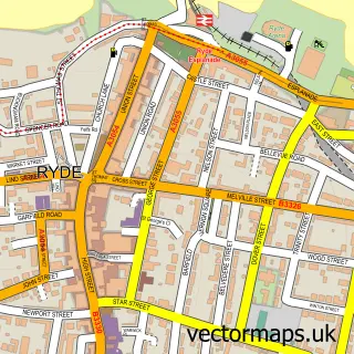
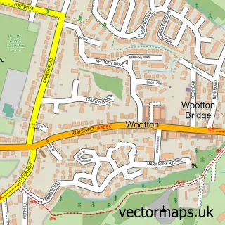
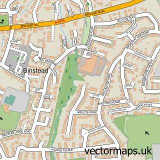
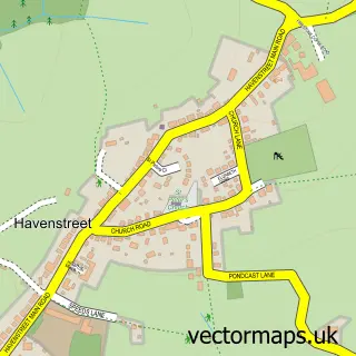
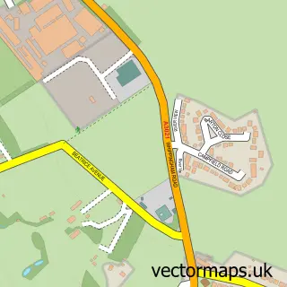
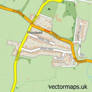
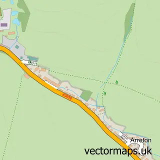
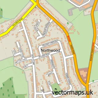
Nearby street map samples around Fishbourne

More street maps in Isle of Wight
750 metre map area coverage
Boundary, postcode and point of interest information for the 750m x 750m rectangle centred on this sample map.
Boundaries containing map centre
Constituency: Isle of Wight East Co Const
District: Isle of Wight
Icb: NHS Hampshire and Isle of Wight ICB
Parish: Fishbourne CP
Police Force: hampshire
Postcode District: PO33
Postcode Sector: PO33 4
Nearby boundaries intersecting sample
Parish: Wootton Bridge CP
Postcode coverage
POI category counts
Travel: 3
Auto Restoration Services: 2
Coffee Shop: 2
Accommodation: 1
Active Life: 1
Beach: 1
Car Dealer: 1
Ferry Boat Company: 1
Financial Service: 1
Landmark And Historical Building: 1
Sample points of interest
- Fishbourne IOW
- Fishbourne pump track
- Northshore Classics
- Northshore Classics
- Fishbourne Beach
- Fishbourne Garage
- Costa Coffee
- Costa Express
- Wightlink Fishbourne Ferry
- Bram Vis
- Fishbourne, Isle of Wight
- Muriel Lodge
Create a larger editable map of Fishbourne
This sample shows only a 750 metre area. To create a larger map of Fishbourne, use our map builder to choose your own coverage area, add titles and download editable SVG, PDF and PNG files.
Create a custom map of Fishbourne