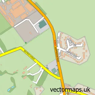
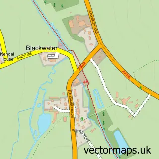
This Northwood street map is a detailed vector street map covering a 750m x 750m area. Select a larger area to create and download your own vector street map of Northwood.
The 750-metre map sample for Northwood covers 438 mapped buildings and approximately 15.2 km of road detail, of which 22 named roads are named. The immediate area includes 2 GP surgeries within 2 miles, 1 pub and 1 MOT station, with 10 within 2 miles. The wider area around Northwood features 1 tourism point of interest, 1 food and drink venue and 1 hotel. To create a larger or custom map of Northwood, the map builder lets you define your own coverage area and download editable SVG, PDF and PNG files.
Create a larger editable map of Northwood
Choose any area you need and generate a high-quality vector map instantly. Perfect for print, planning, design, business and personal use.

This Northwood street map in Isle of Wight is available as downloadable SVG, PDF and PNG map files, or as a printed map for planning, business, display, education, local information and design work. You can also create a larger custom map area using the map selector.
What this Northwood map sample shows
Northwood lies within Northwood Cp parish, part of Cowes South And Northwood ward in the Isle Of Wight local authority area. The postcode geography for this area includes the PO postcode area, the PO31 postcode district and the PO31 8 postcode sector. Residents fall under the Nhs Hampshire And Isle Of Wight Integrated Care Board for NHS services.
Local features near Northwood
Within 2 milesAmenities and services in and around Northwood.
Administrative and postcode information for Northwood
The local authority covering Northwood is Isle Of Wight, within the county of Isle Of Wight. The settlement lies within Cowes South And Northwood ward and Northwood Cp civil parish. The PO31 postcode district and PO31 8 postcode sector serve the immediate area. NHS provision in the area is delivered through Isle Of Wight Nhs Trust.
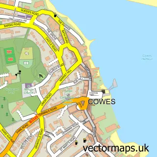
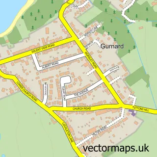
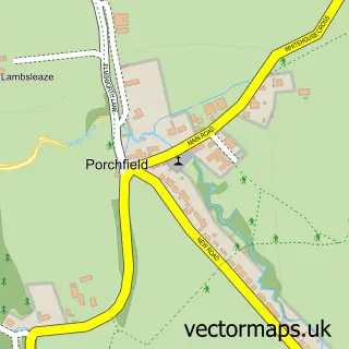
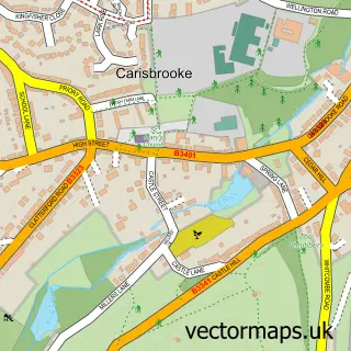
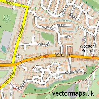
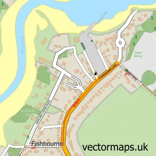
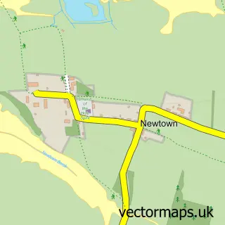
Nearby street map samples around Northwood

More street maps in Isle of Wight
750 metre map area coverage
Boundary, postcode and point of interest information for the 750m x 750m rectangle centred on this sample map.
Boundaries containing map centre
Constituency: Isle of Wight West Co Const
District: Isle of Wight
Icb: NHS Hampshire and Isle of Wight ICB
Parish: Northwood CP
Police Force: hampshire
Postcode District: PO31
Postcode Sector: PO31 8
Nearby boundaries intersecting sample
Parish: Gurnard CP
Postcode coverage
POI category counts
Automotive Repair: 3
Automotive: 2
Car Dealer: 2
Contractor: 2
Post Office: 2
Atms: 1
Auto Parts And Supply Store: 1
Auto Upholstery: 1
Business Office Supplies And Stationery: 1
Community Center: 1
Sample points of interest
- PayPoint
- Cartakeback
- Northwood Upholstery and Restoration
- Leslies Kia
- Leslies Mazda
- Autoglass Cowes
- Mazda
- Northwood Honda
- Compuwight Computer Consultants
- Leslies (Cowes)
- Leslies Motors
- Northwood W I Hall
Create a larger editable map of Northwood
This sample shows only a 750 metre area. To create a larger map of Northwood, use our map builder to choose your own coverage area, add titles and download editable SVG, PDF and PNG files.
Create a custom map of Northwood