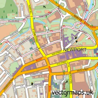
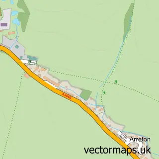
This Carisbrooke street map is a detailed vector street map covering a 750m x 750m area. Select a larger area to create and download your own vector street map of Carisbrooke.
The 750-metre map sample for Carisbrooke covers 355 mapped buildings and approximately 13.5 km of road detail, of which 26 named roads are named. The immediate area includes 2 primary schools and 1 secondary school, 1 GP surgery, 2 pubs and 1 MOT station, with 18 within 2 miles. The wider area around Carisbrooke features 2 food and drink venues and 1 campsite within 2 miles. To create a larger or custom map of Carisbrooke, the map builder lets you define your own coverage area and download editable SVG, PDF and PNG files.
Create a larger editable map of Carisbrooke
Choose any area you need and generate a high-quality vector map instantly. Perfect for print, planning, design, business and personal use.

This Carisbrooke street map in Isle of Wight is available as downloadable SVG, PDF and PNG map files, or as a printed map for planning, business, display, education, local information and design work. You can also create a larger custom map area using the map selector.
What this Carisbrooke map sample shows
Carisbrooke lies within Newport And Carisbrooke Cp parish, part of Carisbrooke ward in the Isle Of Wight local authority area. The postcode geography for this area includes the PO postcode area, the PO30 postcode district and the PO30 5 postcode sector. Residents fall under the Nhs Hampshire And Isle Of Wight Integrated Care Board for NHS services.
Local features near Carisbrooke
Within 2 milesAmenities and services in and around Carisbrooke.
Administrative and postcode information for Carisbrooke
The local authority covering Carisbrooke is Isle Of Wight, within the county of Isle Of Wight. The settlement lies within Carisbrooke ward and Newport And Carisbrooke Cp civil parish. The PO30 postcode district and PO30 5 postcode sector serve the immediate area. NHS provision in the area is delivered through Isle Of Wight Nhs Trust.
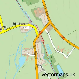
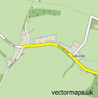
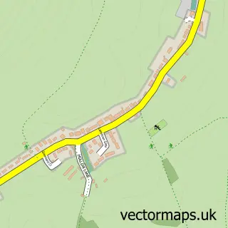
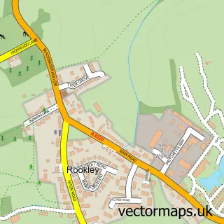
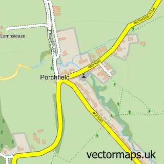
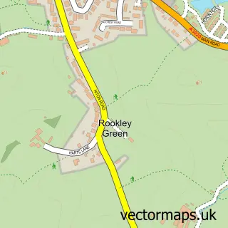
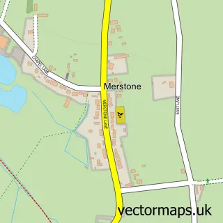
Nearby street map samples around Carisbrooke

More street maps in Isle of Wight
750 metre map area coverage
Boundary, postcode and point of interest information for the 750m x 750m rectangle centred on this sample map.
Boundaries containing map centre
Constituency: Isle of Wight West Co Const
District: Isle of Wight
Icb: NHS Hampshire and Isle of Wight ICB
Parish: Newport and Carisbrooke CP
Police Force: hampshire
Postcode District: PO30
Postcode Sector: PO30 1
Nearby boundaries intersecting sample
Postcode Sector: PO30 5
Postcode coverage
POI category counts
Elementary School: 4
Anglican Church: 2
Church Cathedral: 2
Currency Exchange: 2
Doctor: 2
Financial Service: 2
Mobile Phone Store: 2
Post Office: 2
Pub: 2
Animal Shelter: 1
Sample points of interest
- St Mary the Virgin
- St Mary's Church
- RSPCA
- Ceramic Substrates & Components
- Abbeyfield Newport Isle of Wight Society
- The Southern Co-Operative Carisbrooke High Street, Carisbrooke
- Mark Coburn Vehicle Repairs
- Blondies Bar and Nightclub
- Angel Bar And Grill
- Adam's Barbers carisbrooke
- Brook Chine Beach
- Style Sisters
Create a larger editable map of Carisbrooke
This sample shows only a 750 metre area. To create a larger map of Carisbrooke, use our map builder to choose your own coverage area, add titles and download editable SVG, PDF and PNG files.
Create a custom map of Carisbrooke