This Merstone street map is a detailed vector street map covering a 750m x 750m area. Select a larger area to create and download your own vector street map of Merstone.
The 750-metre map sample for Merstone covers 98 mapped buildings and approximately 7.8 km of road detail, of which 3 named roads are named. The immediate area includes 2 MOT stations within 2 miles. The wider area around Merstone features 1 tourism point of interest, 1 hotel and 1 campsite within 2 miles. To create a larger or custom map of Merstone, the map builder lets you define your own coverage area and download editable SVG, PDF and PNG files.
Create a larger editable map of Merstone
Choose any area you need and generate a high-quality vector map instantly. Perfect for print, planning, design, business and personal use.

This Merstone street map in Isle of Wight is available as downloadable SVG, PDF and PNG map files, or as a printed map for planning, business, display, education, local information and design work. You can also create a larger custom map area using the map selector.
What this Merstone map sample shows
Merstone lies within Arreton Cp parish, part of Arreton And Newchurch ward in the Isle Of Wight local authority area. The postcode geography for this area includes the PO postcode area, the PO30 postcode district and the PO30 3 postcode sector. Residents fall under the Nhs Hampshire And Isle Of Wight Integrated Care Board for NHS services.
Local features near Merstone
Within 2 milesAmenities and services in and around Merstone.
Administrative and postcode information for Merstone
Merstone lies within Arreton Cp parish, part of Arreton And Newchurch ward in the Isle Of Wight local authority area. The postcode geography for this area includes the PO postcode area, the PO30 postcode district and the PO30 3 postcode sector. Residents fall under the Nhs Hampshire And Isle Of Wight Integrated Care Board for NHS services.
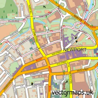
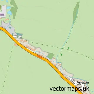
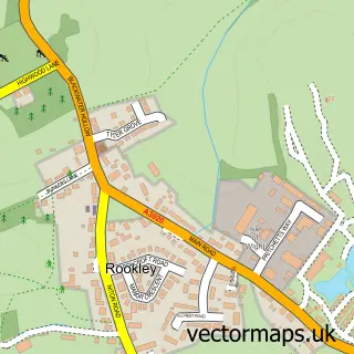
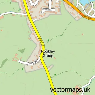
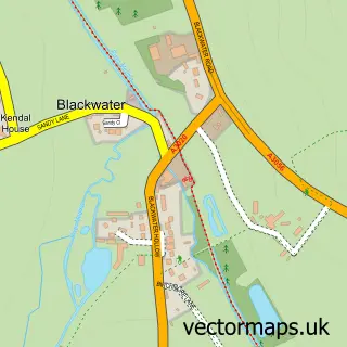
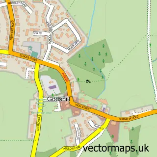
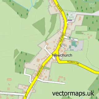
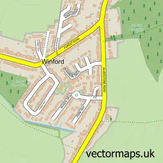
Nearby street map samples around Merstone

More street maps in Isle of Wight
750 metre map area coverage
Boundary, postcode and point of interest information for the 750m x 750m rectangle centred on this sample map.
Boundaries containing map centre
Constituency: Isle of Wight West Co Const
District: Isle of Wight
Icb: NHS Hampshire and Isle of Wight ICB
Parish: Arreton CP
Police Force: hampshire
Postcode District: PO30
Postcode Sector: PO30 3
Nearby boundaries intersecting sample
No additional intersecting boundaries found.
Postcode coverage
POI category counts
Building Supply Store: 2
Professional Services: 2
Accommodation: 1
Accountant: 1
Arts And Crafts: 1
Business Manufacturing And Supply: 1
Electrician: 1
Landmark And Historical Building: 1
Mortgage Broker: 1
Pest Control Service: 1
Sample points of interest
- Chapel Cottage
- MPA Accounting
- Ceramic Crafts
- John Davidson Pipes
- Seymour Cleaning Services
- Hillcroft Turf Supplies
- Right Wire Ltd
- Merstone, Isle of Wight
- Prospect Mortgage Services
- Pestforce Pest Control Isle of Wight
- B C M
- Whitehouse Consulting
Create a larger editable map of Merstone
This sample shows only a 750 metre area. To create a larger map of Merstone, use our map builder to choose your own coverage area, add titles and download editable SVG, PDF and PNG files.
Create a custom map of Merstone