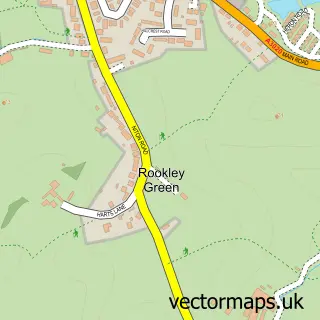
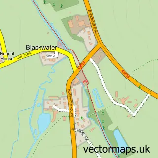
This Rookley street map is a detailed vector street map covering a 750m x 750m area. Select a larger area to create and download your own vector street map of Rookley.
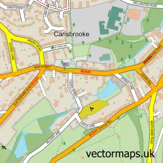
The 750-metre map sample for Rookley covers 236 mapped buildings and approximately 8.4 km of road detail, of which 10 named roads are named. The immediate area includes 1 MOT station, with 2 within 2 miles. The wider area around Rookley features 1 tourism point of interest. To create a larger or custom map of Rookley, the map builder lets you define your own coverage area and download editable SVG, PDF and PNG files.
Create a larger editable map of Rookley
Choose any area you need and generate a high-quality vector map instantly. Perfect for print, planning, design, business and personal use.

This Rookley street map in Isle of Wight is available as downloadable SVG, PDF and PNG map files, or as a printed map for planning, business, display, education, local information and design work. You can also create a larger custom map area using the map selector.
What this Rookley map sample shows
Rookley lies within Rookley Cp parish, part of Central Wight ward in the Isle Of Wight local authority area. The postcode geography for this area includes the PO postcode area, the PO38 postcode district and the PO38 3 postcode sector. Residents fall under the Nhs Hampshire And Isle Of Wight Integrated Care Board for NHS services.
Local features near Rookley
Within 2 milesAmenities and services in and around Rookley.
Administrative and postcode information for Rookley
Rookley lies within Rookley Cp parish, part of Central Wight ward in the Isle Of Wight local authority area. The postcode geography for this area includes the PO postcode area, the PO38 postcode district and the PO38 3 postcode sector. Residents fall under the Nhs Hampshire And Isle Of Wight Integrated Care Board for NHS services.
Nearby street map samples around Rookley

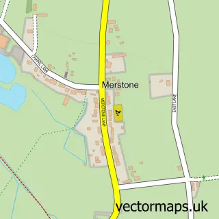
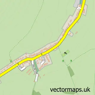
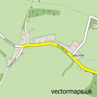
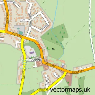
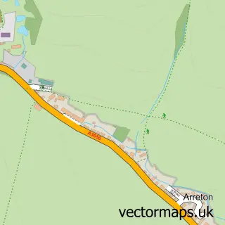
More street maps in Isle of Wight
750 metre map area coverage
Boundary, postcode and point of interest information for the 750m x 750m rectangle centred on this sample map.
Boundaries containing map centre
Constituency: Isle of Wight West Co Const
District: Isle of Wight
Icb: NHS Hampshire and Isle of Wight ICB
Parish: Rookley CP
Police Force: hampshire
Postcode District: PO38
Postcode Sector: PO38 3
Nearby boundaries intersecting sample
Parish: Arreton CP
Postcode District: PO30
Postcode Sector: PO30 3
Postcode coverage
POI category counts
Bar: 2
Furniture Store: 2
Hunting And Fishing Supplies: 2
Used Car Dealer: 2
Auto Detailing: 1
Automotive Repair: 1
Beverage Store: 1
Building Supply Store: 1
Business Management Services: 1
Business To Business: 1
Sample points of interest
- JW Autoshine Vehicle Detaiing LTD
- The Worxs Car Performance Specialists
- Rookley Lakeside Bar
- The Rookley Inn
- Aria Resorts UK
- SIG Building Plastics
- Asperiti
- Betapak Ltd.
- The Lakes Rookley
- Level Detail And Valeting Centre
- J P C Demolition
- The Co-operative Food
Create a larger editable map of Rookley
This sample shows only a 750 metre area. To create a larger map of Rookley, use our map builder to choose your own coverage area, add titles and download editable SVG, PDF and PNG files.
Create a custom map of Rookley