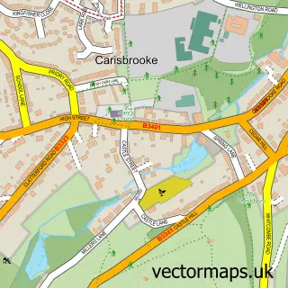
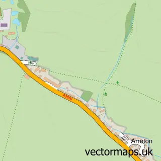
This Newport street map is a detailed vector street map covering a 750m x 750m area. Select a larger area to create and download your own vector street map of Newport.
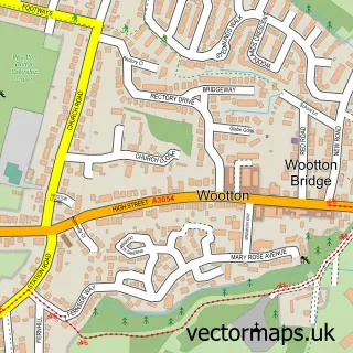
The 750-metre map sample for Newport covers 259 mapped buildings and approximately 23.9 km of road detail, of which 46 named roads are named. The immediate area includes 1 GP surgery within 2 miles, 18 pubs and 3 MOT stations, with 19 within 2 miles. The wider area around Newport features 7 tourism points of interest, 50 food and drink venues and 7 hotels. To create a larger or custom map of Newport, the map builder lets you define your own coverage area and download editable SVG, PDF and PNG files.
Create a larger editable map of Newport
Choose any area you need and generate a high-quality vector map instantly. Perfect for print, planning, design, business and personal use.

This Newport street map in Isle of Wight is available as downloadable SVG, PDF and PNG map files, or as a printed map for planning, business, display, education, local information and design work. You can also create a larger custom map area using the map selector.
What this Newport map sample shows
Newport lies within Newport And Carisbrooke Cp parish, part of Newport East ward in the Isle Of Wight local authority area. The postcode geography for this area includes the PO postcode area, the PO30 postcode district and the PO30 2 postcode sector. Residents fall under the Nhs Hampshire And Isle Of Wight Integrated Care Board for NHS services.
Local features near Newport
Within 2 milesAmenities and services in and around Newport.
Administrative and postcode information for Newport
Newport lies within Newport And Carisbrooke Cp parish, part of Newport East ward in the Isle Of Wight local authority area. The postcode geography for this area includes the PO postcode area, the PO30 postcode district and the PO30 2 postcode sector. Residents fall under the Nhs Hampshire And Isle Of Wight Integrated Care Board for NHS services.
Nearby street map samples around Newport

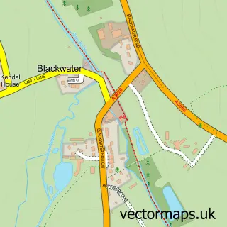
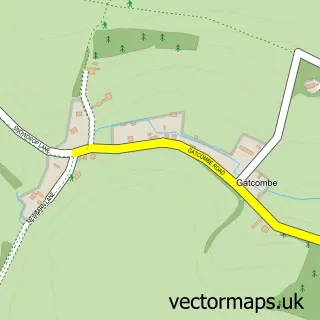
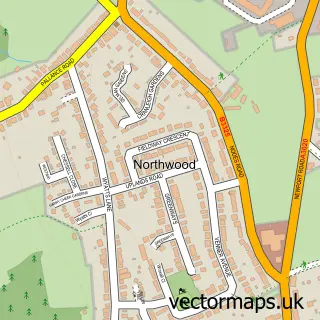
More street maps in Isle of Wight
750 metre map area coverage
Boundary, postcode and point of interest information for the 750m x 750m rectangle centred on this sample map.
Boundaries containing map centre
Constituency: Isle of Wight West Co Const
District: Isle of Wight
Icb: NHS Hampshire and Isle of Wight ICB
Parish: Newport and Carisbrooke CP
Police Force: hampshire
Postcode District: PO30
Postcode Sector: PO30 5
Nearby boundaries intersecting sample
Postcode Sector: PO30 1, PO30 2
Postcode coverage
POI category counts
Beauty Salon: 28
Charity Organization: 22
Hair Salon: 18
Pub: 18
Clothing Store: 17
Barber: 13
Cafe: 13
Jewelry Store: 13
Real Estate Agent: 13
Church Cathedral: 10
Sample points of interest
- Charter House
- My House
- Bright Brown Accountants
- Garbetts Chartered Accountants
- Harrison Black
- The Fitness Factory
- The Shen Clinic
- Smart Training And Recruitment
- Smart Training and Recruitment
- Solent
- Vision Graphix
- Agri-Cycle Isle of Wight
Create a larger editable map of Newport
This sample shows only a 750 metre area. To create a larger map of Newport, use our map builder to choose your own coverage area, add titles and download editable SVG, PDF and PNG files.
Create a custom map of Newport