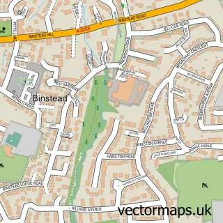
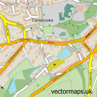
This Wootton street map is a detailed vector street map covering a 750m x 750m area. Select a larger area to create and download your own vector street map of Wootton.
The 750-metre map sample for Wootton covers 554 mapped buildings and approximately 17.9 km of road detail, of which 25 named roads are named. The immediate area includes 1 school, 1 GP surgery, 1 pub and 2 MOT stations within 2 miles. The wider area around Wootton features 2 food and drink venues and 1 hotel. To create a larger or custom map of Wootton, the map builder lets you define your own coverage area and download editable SVG, PDF and PNG files.
Create a larger editable map of Wootton
Choose any area you need and generate a high-quality vector map instantly. Perfect for print, planning, design, business and personal use.

This Wootton street map in Isle of Wight is available as downloadable SVG, PDF and PNG map files, or as a printed map for planning, business, display, education, local information and design work. You can also create a larger custom map area using the map selector.
What this Wootton map sample shows
Wootton lies within Wootton Bridge Cp parish, part of Wootton Bridge ward in the Isle Of Wight local authority area. The postcode geography for this area includes the PO postcode area, the PO33 postcode district and the PO33 4 postcode sector. Residents fall under the Nhs Hampshire And Isle Of Wight Integrated Care Board for NHS services.
Local features near Wootton
Within 2 milesAmenities and services in and around Wootton.
Administrative and postcode information for Wootton
The local authority covering Wootton is Isle Of Wight, within the county of Isle Of Wight. The settlement lies within Wootton Bridge ward and Wootton Bridge Cp civil parish. The PO33 postcode district and PO33 4 postcode sector serve the immediate area. NHS provision in the area is delivered through Isle Of Wight Nhs Trust.
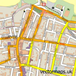
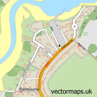
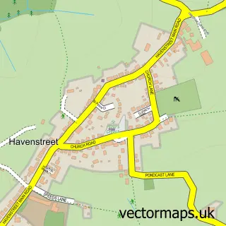
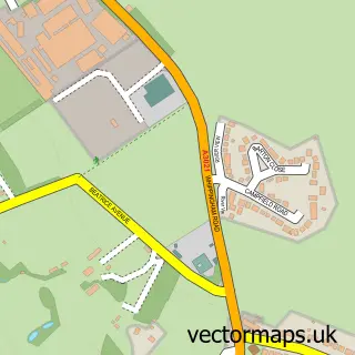
Nearby street map samples around Wootton

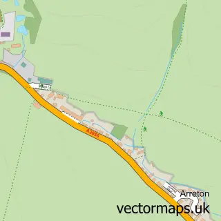
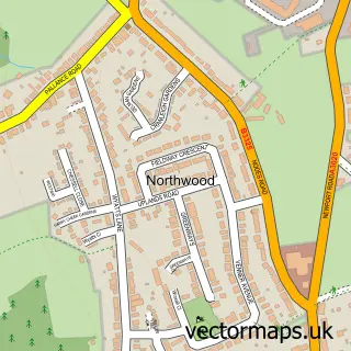
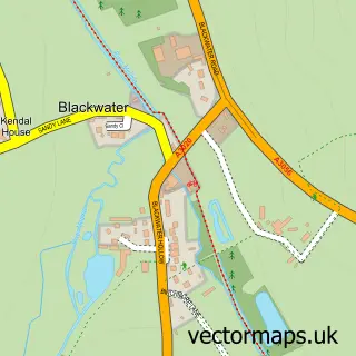
More street maps in Isle of Wight
750 metre map area coverage
Boundary, postcode and point of interest information for the 750m x 750m rectangle centred on this sample map.
Boundaries containing map centre
Constituency: Isle of Wight East Co Const
District: Isle of Wight
Icb: NHS Hampshire and Isle of Wight ICB
Parish: Wootton Bridge CP
Police Force: hampshire
Postcode District: PO33
Postcode Sector: PO33 4
Nearby boundaries intersecting sample
No additional intersecting boundaries found.
Postcode coverage
POI category counts
Bed And Breakfast: 3
Convenience Store: 3
Doctor: 3
Beauty Salon: 2
Community Center: 2
General Dentistry: 2
Hair Salon: 2
Indian Restaurant: 2
Liquor Store: 2
Osteopathic Physician: 2
Sample points of interest
- Isle of Wight Accountants
- Island Extreme
- Overbrook
- Compuwight
- Amptech Services
- Tesco Bank
- Wootton Bridge Beach
- Hair and Graces Hair Salon
- Natural Beauty IOW
- Rebecca's Hair Salon
- Grange Farm B&B / Self Catering Holidays
- Grange Farm Bed & Breakfast & Self Catering
Create a larger editable map of Wootton
This sample shows only a 750 metre area. To create a larger map of Wootton, use our map builder to choose your own coverage area, add titles and download editable SVG, PDF and PNG files.
Create a custom map of Wootton