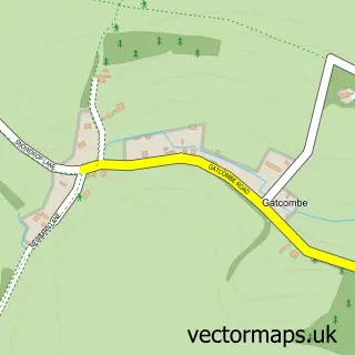
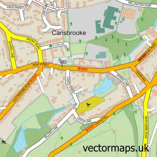
This Chillerton street map is a detailed vector street map covering a 750m x 750m area. Select a larger area to create and download your own vector street map of Chillerton.
The 750-metre map sample for Chillerton covers 81 mapped buildings and approximately 3.9 km of road detail, of which 3 named roads are named. The immediate area includes 1 pub and 2 MOT stations within 2 miles. The wider area around Chillerton features 2 food and drink venues. To create a larger or custom map of Chillerton, the map builder lets you define your own coverage area and download editable SVG, PDF and PNG files.
Create a larger editable map of Chillerton
Choose any area you need and generate a high-quality vector map instantly. Perfect for print, planning, design, business and personal use.

This Chillerton street map in Isle of Wight is available as downloadable SVG, PDF and PNG map files, or as a printed map for planning, business, display, education, local information and design work. You can also create a larger custom map area using the map selector.
What this Chillerton map sample shows
Chillerton lies within Chillerton And Gatcombe Cp parish, part of Central Wight ward in the Isle Of Wight local authority area. The postcode geography for this area includes the PO postcode area, the PO30 postcode district and the PO30 3 postcode sector. Residents fall under the Nhs Hampshire And Isle Of Wight Integrated Care Board for NHS services.
Local features near Chillerton
Within 2 milesAmenities and services in and around Chillerton.
Administrative and postcode information for Chillerton
Chillerton lies within Chillerton And Gatcombe Cp parish, part of Central Wight ward in the Isle Of Wight local authority area. The postcode geography for this area includes the PO postcode area, the PO30 postcode district and the PO30 3 postcode sector. Residents fall under the Nhs Hampshire And Isle Of Wight Integrated Care Board for NHS services.
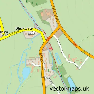
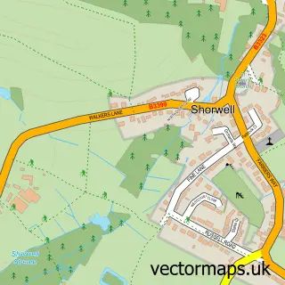
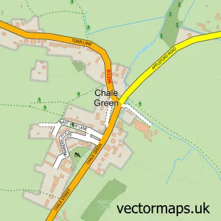
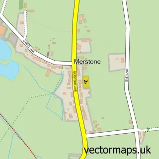
Nearby street map samples around Chillerton

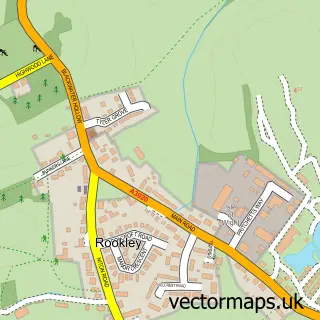
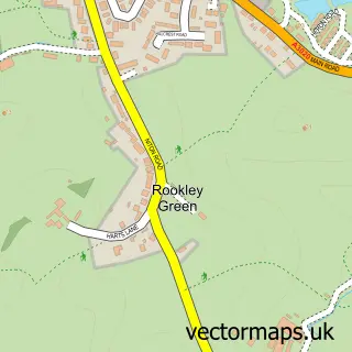
More street maps in Isle of Wight
750 metre map area coverage
Boundary, postcode and point of interest information for the 750m x 750m rectangle centred on this sample map.
Boundaries containing map centre
Constituency: Isle of Wight West Co Const
District: Isle of Wight
Icb: NHS Hampshire and Isle of Wight ICB
Parish: Chillerton and Gatcombe CP
Police Force: hampshire
Postcode District: PO30
Postcode Sector: PO30 3
Nearby boundaries intersecting sample
No additional intersecting boundaries found.
Postcode coverage
POI category counts
Amateur Sports Team: 1
Cottage: 1
Elementary School: 1
Inn: 1
Plumbing: 1
Pub: 1
Restaurant: 1
Sample points of interest
- Shanklin and Godshill Cricket Club
- Little Wing Holiday Cottage
- Chillerton & Rookley Primary School
- The Gallybagger Inn
- RHP Services IOW
- The Pop-Inn
- Chillerton\& Gatcombe Community Association (Village Hall)
Create a larger editable map of Chillerton
This sample shows only a 750 metre area. To create a larger map of Chillerton, use our map builder to choose your own coverage area, add titles and download editable SVG, PDF and PNG files.
Create a custom map of Chillerton