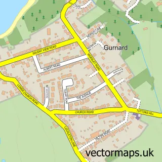
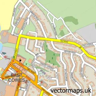
This Cowes street map is a detailed vector street map covering a 750m x 750m area. Select a larger area to create and download your own vector street map of Cowes.
The 750-metre map sample for Cowes covers 223 mapped buildings and approximately 13.2 km of road detail, of which 34 named roads are named. The immediate area includes 2 GP surgeries within 2 miles, 13 pubs and 9 MOT stations within 2 miles. The wider area around Cowes features 5 tourism points of interest, 38 food and drink venues and 7 hotels. To create a larger or custom map of Cowes, the map builder lets you define your own coverage area and download editable SVG, PDF and PNG files.
Create a larger editable map of Cowes
Choose any area you need and generate a high-quality vector map instantly. Perfect for print, planning, design, business and personal use.

This Cowes street map in Isle of Wight is available as downloadable SVG, PDF and PNG map files, or as a printed map for planning, business, display, education, local information and design work. You can also create a larger custom map area using the map selector.
What this Cowes map sample shows
Cowes lies within Cowes Cp parish, part of Cowes Medina ward in the Isle Of Wight local authority area. The postcode geography for this area includes the PO postcode area, the PO31 postcode district and the PO31 7 postcode sector. Residents fall under the Nhs Hampshire And Isle Of Wight Integrated Care Board for NHS services.
Local features near Cowes
Within 2 milesAmenities and services in and around Cowes.
Administrative and postcode information for Cowes
Cowes lies within Cowes Cp parish, part of Cowes Medina ward in the Isle Of Wight local authority area. The postcode geography for this area includes the PO postcode area, the PO31 postcode district and the PO31 7 postcode sector. Residents fall under the Nhs Hampshire And Isle Of Wight Integrated Care Board for NHS services.
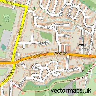
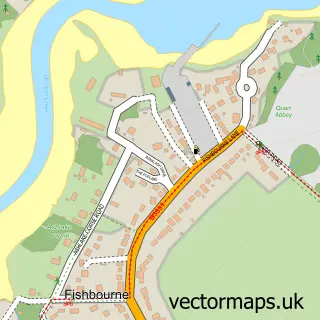
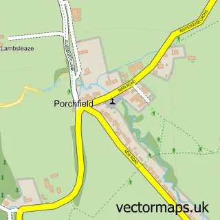
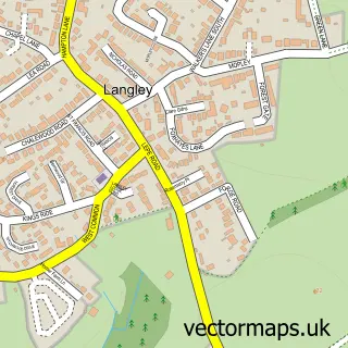
Nearby street map samples around Cowes

More street maps in Isle of Wight
750 metre map area coverage
Boundary, postcode and point of interest information for the 750m x 750m rectangle centred on this sample map.
Boundaries containing map centre
Constituency: Isle of Wight West Co Const
District: Isle of Wight
Icb: NHS Hampshire and Isle of Wight ICB
Parish: Cowes CP
Police Force: hampshire
Postcode District: PO31
Postcode Sector: PO31 7
Nearby boundaries intersecting sample
Parish: East Cowes CP
Postcode Sector: PO31 8
Postcode coverage
POI category counts
Pub: 13
Clothing Store: 12
Flowers And Gifts Shop: 12
Real Estate Agent: 11
Restaurant: 11
Bar: 9
Cafe: 9
Sports Club And League: 8
Holiday Rental Home: 7
Art Gallery: 6
Sample points of interest
- Foresters Hall
- Poole Sailing
- AFX Design
- Into the Blue
- Holy Trinity Church, Cowes
- St Mary the Virgin
- Attacus Antiques & Collectibles
- Eclectica
- Staples & Green
- Hollis Design
- Anne Toms Cowes Gallery
- Bluegreen Pictures
Create a larger editable map of Cowes
This sample shows only a 750 metre area. To create a larger map of Cowes, use our map builder to choose your own coverage area, add titles and download editable SVG, PDF and PNG files.
Create a custom map of Cowes