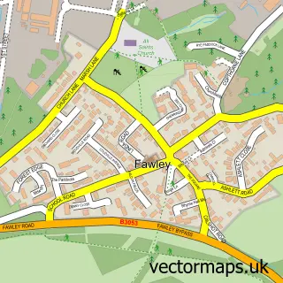
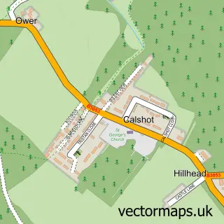
This Langley street map is a detailed vector street map covering a 750m x 750m area. Select a larger area to create and download your own vector street map of Langley.
The 750-metre map sample for Langley covers 448 mapped buildings and approximately 13.2 km of road detail, of which 25 named roads are named. The immediate area includes 1 pub and 5 MOT stations within 2 miles. The wider area around Langley features 3 tourism points of interest, 1 food and drink venue and 1 hotel. To create a larger or custom map of Langley, the map builder lets you define your own coverage area and download editable SVG, PDF and PNG files.
Create a larger editable map of Langley
Choose any area you need and generate a high-quality vector map instantly. Perfect for print, planning, design, business and personal use.

This Langley street map in Hampshire is available as downloadable SVG, PDF and PNG map files, or as a printed map for planning, business, display, education, local information and design work. You can also create a larger custom map area using the map selector.
What this Langley map sample shows
Langley lies within Fawley Cp parish, part of Fawley, Blackfield And Langley ward in the New Forest District local authority area. The postcode geography for this area includes the SO postcode area, the SO45 postcode district and the SO45 1 postcode sector. Residents fall under the Nhs Hampshire And Isle Of Wight Integrated Care Board for NHS services.
Local features near Langley
Within 2 milesAmenities and services in and around Langley.
Administrative and postcode information for Langley
Langley lies within Fawley Cp parish, part of Fawley, Blackfield And Langley ward in the New Forest District local authority area. The postcode geography for this area includes the SO postcode area, the SO45 postcode district and the SO45 1 postcode sector. Residents fall under the Nhs Hampshire And Isle Of Wight Integrated Care Board for NHS services.
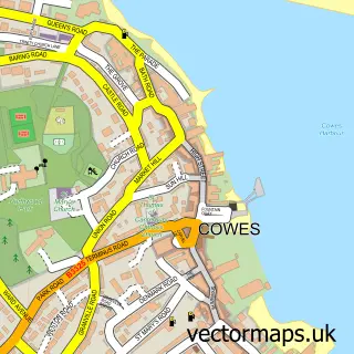
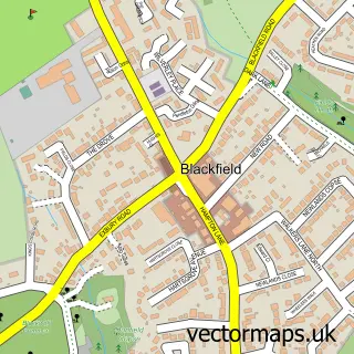
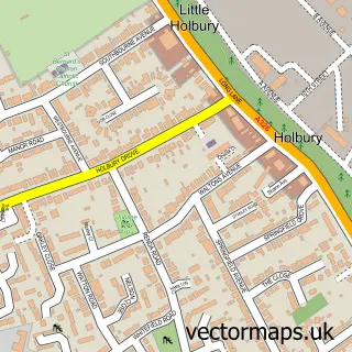
Nearby street map samples around Langley


More street maps in Hampshire
750 metre map area coverage
Boundary, postcode and point of interest information for the 750m x 750m rectangle centred on this sample map.
Boundaries containing map centre
Constituency: New Forest East Co Const
County: Hampshire County
District: New Forest District
Icb: NHS Hampshire and Isle of Wight ICB
Parish: Fawley CP
Police Force: hampshire
Postcode District: SO45
Postcode Sector: SO45 1
Ward: Fawley, Blackfield, Calshot & Langley Ward
Nearby boundaries intersecting sample
No additional intersecting boundaries found.
Postcode coverage
POI category counts
Landmark And Historical Building: 2
Bank Credit Union: 1
Bar: 1
Beauty And Spa: 1
Business Management Services: 1
Campground: 1
Hotel: 1
Hypnosis Hypnotherapy: 1
Key And Locksmith: 1
Library: 1
Sample points of interest
- Lloyds Bank
- The King’s Head
- Heavenly Bodies
- MDS Leisure
- White Meadow Camping
- Langley Village Restaurant & Guest House
- Hypnosishelps
- KeyLock Locksmiths
- Exbury and Lepe
- Langley, Hampshire
- Wow Video Production
- Forge Field Alpacas
Create a larger editable map of Langley
This sample shows only a 750 metre area. To create a larger map of Langley, use our map builder to choose your own coverage area, add titles and download editable SVG, PDF and PNG files.
Create a custom map of Langley