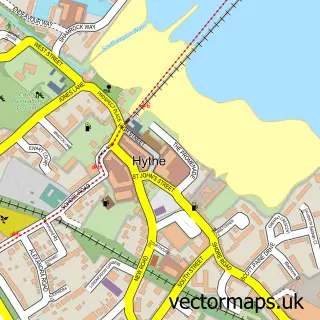
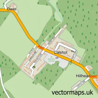
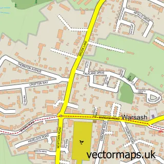
This Fawley street map is a detailed vector street map covering a 750m x 750m area. Select a larger area to create and download your own vector street map of Fawley.
The 750-metre map sample for Fawley covers 324 mapped buildings and approximately 14.0 km of road detail, of which 30 named roads are named. The immediate area includes 1 school, 2 pubs and 1 MOT station, with 5 within 2 miles. The wider area around Fawley features 2 food and drink venues and 1 campsite within 2 miles. To create a larger or custom map of Fawley, the map builder lets you define your own coverage area and download editable SVG, PDF and PNG files.
Create a larger editable map of Fawley
Choose any area you need and generate a high-quality vector map instantly. Perfect for print, planning, design, business and personal use.

This Fawley street map in Hampshire is available as downloadable SVG, PDF and PNG map files, or as a printed map for planning, business, display, education, local information and design work. You can also create a larger custom map area using the map selector.
What this Fawley map sample shows
Fawley lies within Fawley Cp parish, part of Fawley, Blackfield And Langley ward in the New Forest District local authority area. The postcode geography for this area includes the SO postcode area, the SO45 postcode district and the SO45 1 postcode sector. Residents fall under the Nhs Hampshire And Isle Of Wight Integrated Care Board for NHS services.
Local features near Fawley
Within 2 milesAmenities and services in and around Fawley.
Administrative and postcode information for Fawley
The local authority covering Fawley is New Forest District, within the county of Hampshire. The settlement lies within Fawley, Blackfield And Langley ward and Fawley Cp civil parish. The SO45 postcode district and SO45 1 postcode sector serve the immediate area. NHS provision in the area is delivered through University Hospital Southampton Nhs Foundation Trust.
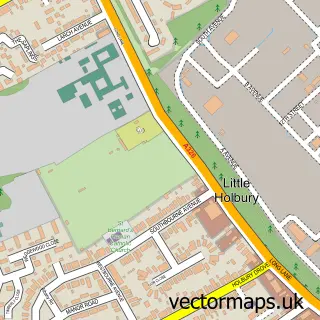
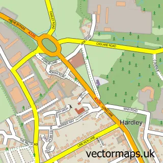
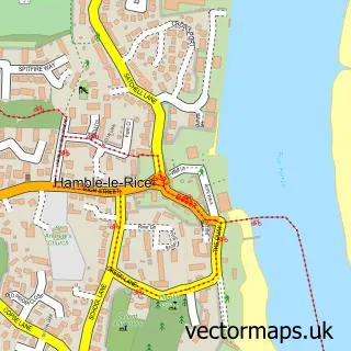
Nearby street map samples around Fawley

More street maps in Hampshire
750 metre map area coverage
Boundary, postcode and point of interest information for the 750m x 750m rectangle centred on this sample map.
Boundaries containing map centre
Constituency: New Forest East Co Const
County: Hampshire County
District: New Forest District
Icb: NHS Hampshire and Isle of Wight ICB
Parish: Fawley CP
Police Force: hampshire
Postcode District: SO45
Postcode Sector: SO45 1
Ward: Fawley, Blackfield, Calshot & Langley Ward
Nearby boundaries intersecting sample
Postcode Sector: SO45 2
Postcode coverage
POI category counts
Community Services Non Profits: 2
Convenience Store: 2
Freight And Cargo Service: 2
Funeral Services And Cemeteries: 2
Pub: 2
Accountant: 1
Automotive Repair: 1
Bakery: 1
Boxing Class: 1
Building Supply Store: 1
Sample points of interest
- Kara Accountants Ltd
- Fawley Garage
- Cake Crazy
- Waterside Boxing Club
- Southern Door Installations
- Evergreen Chinese Takeaway
- All Saints Church
- Jet Vac Systems
- Jubilee Hall
- Copthorne Nursery
- Jewell Community Garden at Fawley
- HMS Spirits Co Limited
Create a larger editable map of Fawley
This sample shows only a 750 metre area. To create a larger map of Fawley, use our map builder to choose your own coverage area, add titles and download editable SVG, PDF and PNG files.
Create a custom map of Fawley