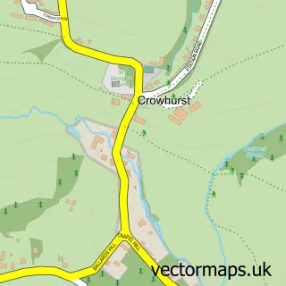
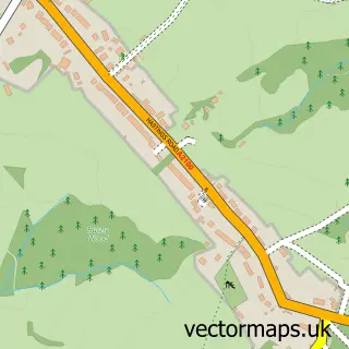
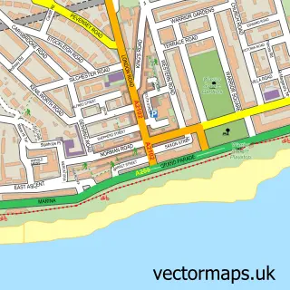
This Bexhill-on-Sea street map is a detailed vector street map covering a 750m x 750m area. Select a larger area to create and download your own vector street map of Bexhill-on-Sea.
The 750-metre map sample for Bexhill-on-Sea covers 380 mapped buildings and approximately 20.9 km of road detail, of which 40 named roads are named. The immediate area includes 1 school, 3 GP surgeries within 2 miles, 5 pubs and 4 MOT stations, with 11 within 2 miles. The wider area around Bexhill-on-Sea features 2 tourism points of interest, 34 food and drink venues and 3 hotels. To create a larger or custom map of Bexhill-on-Sea, the map builder lets you define your own coverage area and download editable SVG, PDF and PNG files.
Create a larger editable map of Bexhill-on-Sea
Choose any area you need and generate a high-quality vector map instantly. Perfect for print, planning, design, business and personal use.

This Bexhill-on-Sea street map in East Sussex is available as downloadable SVG, PDF and PNG map files, or as a printed map for planning, business, display, education, local information and design work. You can also create a larger custom map area using the map selector.
What this Bexhill-on-Sea map sample shows
Bexhill-on-Sea lies within Bexhill-On-Sea Cp parish, part of Bexhill Central ward in the Rother District local authority area. The postcode geography for this area includes the TN postcode area, the TN40 postcode district and the TN40 1 postcode sector. Residents fall under the Nhs Sussex Integrated Care Board for NHS services.
Local features near Bexhill-on-Sea
Within 2 milesAmenities and services in and around Bexhill-on-Sea.
Administrative and postcode information for Bexhill-on-Sea
Bexhill-on-Sea lies within Bexhill-On-Sea Cp parish, part of Bexhill Central ward in the Rother District local authority area. The postcode geography for this area includes the TN postcode area, the TN40 postcode district and the TN40 1 postcode sector. Residents fall under the Nhs Sussex Integrated Care Board for NHS services.
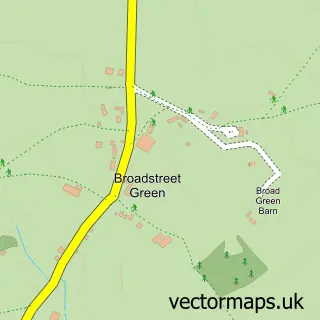
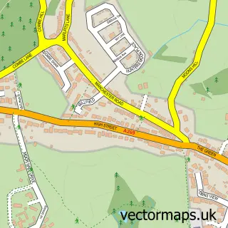
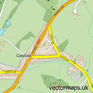
Nearby street map samples around Bexhill-on-Sea

More street maps in East Sussex
750 metre map area coverage
Boundary, postcode and point of interest information for the 750m x 750m rectangle centred on this sample map.
Boundaries containing map centre
Constituency: Bexhill and Battle Co Const
County: East Sussex County
District: Rother District
Icb: NHS Surrey and Sussex ICB
Parish: Bexhill-on-Sea CP
Police Force: sussex
Postcode District: TN40
Postcode Sector: TN40 1
Ward: Bexhill Central Ward
Nearby boundaries intersecting sample
Postcode District: TN39
Postcode Sector: TN39 3, TN40 2
Ward: Bexhill Kewhurst Ward, Bexhill Sackville Ward
Postcode coverage
POI category counts
Hair Salon: 22
Automotive Repair: 21
Beauty Salon: 16
Cafe: 14
Flowers And Gifts Shop: 13
Building Supply Store: 11
Real Estate Agent: 11
Accountant: 9
Charity Organization: 9
Clothing Store: 9
Sample points of interest
- 61 Wilton Road Limited
- Frampton & Co
- Frampton & Co. (Sussex)
- GMP Accountants
- Gibbons Mannington & Phipps LLP
- IMG Chartered Accountants
- McPhersons Chartered Accountants
- Porter Associates
- Porter Associates
- Peter Botting
- Bristows Restaurant
- Age UK
Create a larger editable map of Bexhill-on-Sea
This sample shows only a 750 metre area. To create a larger map of Bexhill-on-Sea, use our map builder to choose your own coverage area, add titles and download editable SVG, PDF and PNG files.
Create a custom map of Bexhill-on-Sea