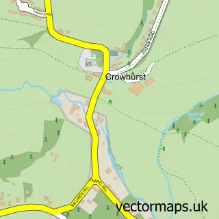
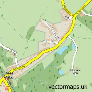
This St Leonards street map is a detailed vector street map covering a 750m x 750m area. Select a larger area to create and download your own vector street map of St Leonards.
The 750-metre map sample for St Leonards covers 168 mapped buildings and approximately 18.5 km of road detail, of which 47 named roads are named. The immediate area includes 1 school, 7 GP surgeries within 2 miles, 15 pubs and 2 MOT stations, with 14 within 2 miles. The wider area around St Leonards features 2 tourism points of interest, 45 food and drink venues and 7 hotels. To create a larger or custom map of St Leonards, the map builder lets you define your own coverage area and download editable SVG, PDF and PNG files.
Create a larger editable map of St Leonards
Choose any area you need and generate a high-quality vector map instantly. Perfect for print, planning, design, business and personal use.

This St Leonards street map in East Sussex is available as downloadable SVG, PDF and PNG map files, or as a printed map for planning, business, display, education, local information and design work. You can also create a larger custom map area using the map selector.
What this St Leonards map sample shows
St Leonards lies within East Sussex County parish, part of Gensing ward in the Hastings District (B) local authority area. The postcode geography for this area includes the TN postcode area, the TN38 postcode district and the TN38 0 postcode sector. Residents fall under the Nhs Sussex Integrated Care Board for NHS services.
Local features near St Leonards
Within 2 milesAmenities and services in and around St Leonards.
Administrative and postcode information for St Leonards
St Leonards lies within East Sussex County parish, part of Gensing ward in the Hastings District (B) local authority area. The postcode geography for this area includes the TN postcode area, the TN38 postcode district and the TN38 0 postcode sector. Residents fall under the Nhs Sussex Integrated Care Board for NHS services.
Nearby street map samples around St Leonards

More street maps in East Sussex
750 metre map area coverage
Boundary, postcode and point of interest information for the 750m x 750m rectangle centred on this sample map.
Boundaries containing map centre
Constituency: Hastings and Rye Co Const
County: East Sussex County
District: Hastings District (B)
Icb: NHS Surrey and Sussex ICB
Police Force: sussex
Postcode District: TN37
Postcode Sector: TN37 6
Ward: Central St. Leonards Ward
Nearby boundaries intersecting sample
Postcode District: TN38
Postcode Sector: TN38 0
Ward: Gensing Ward
Postcode coverage
POI category counts
Antique Store: 15
Pub: 15
Cafe: 14
Art Gallery: 12
Professional Services: 11
Beauty Salon: 10
Restaurant: 9
Convenience Store: 8
Real Estate Agent: 8
Coffee Shop: 7
Sample points of interest
- A Brand is Born Marketing
- Jonathan Millward Illustration
- Mama Putt African-Caribbean Restaurant
- Mama Putt's African Caribbean Restaurant
- St Leonards on Sea
- Christ Church St Leonards
- Fleet Gallery
- Funky Stuff
- Grand Designs Antique & Unique
- HARC Charity Shop
- Hastings & Bexhill Mencap Charity Shop
- Kings Road Bazaar
Create a larger editable map of St Leonards
This sample shows only a 750 metre area. To create a larger map of St Leonards, use our map builder to choose your own coverage area, add titles and download editable SVG, PDF and PNG files.
Create a custom map of St Leonards