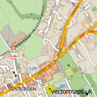
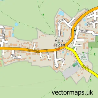
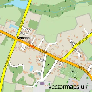
This Biddenden street map is a detailed vector street map covering a 750m x 750m area. Select a larger area to create and download your own vector street map of Biddenden.
The 750-metre map sample for Biddenden covers 249 mapped buildings and approximately 7.9 km of road detail, of which 16 named roads are named. The immediate area includes 1 school, 2 pubs and 2 MOT stations within 2 miles. The wider area around Biddenden features 1 tourism point of interest, 5 food and drink venues and 1 hotel. To create a larger or custom map of Biddenden, the map builder lets you define your own coverage area and download editable SVG, PDF and PNG files.
Create a larger editable map of Biddenden
Choose any area you need and generate a high-quality vector map instantly. Perfect for print, planning, design, business and personal use.

This Biddenden street map in Kent is available as downloadable SVG, PDF and PNG map files, or as a printed map for planning, business, display, education, local information and design work. You can also create a larger custom map area using the map selector.
What this Biddenden map sample shows
Biddenden lies within Biddenden Cp parish, part of Biddenden ward in the Ashford District (B) local authority area. The postcode geography for this area includes the TN postcode area, the TN27 postcode district and the TN27 8 postcode sector. Residents fall under the Nhs Kent And Medway Integrated Care Board for NHS services.
Local features near Biddenden
Within 2 milesAmenities and services in and around Biddenden.
Administrative and postcode information for Biddenden
Biddenden lies within Biddenden Cp parish, part of Biddenden ward in the Ashford District (B) local authority area. The postcode geography for this area includes the TN postcode area, the TN27 postcode district and the TN27 8 postcode sector. Residents fall under the Nhs Kent And Medway Integrated Care Board for NHS services.
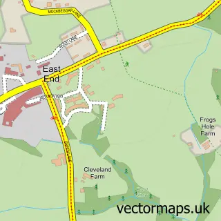
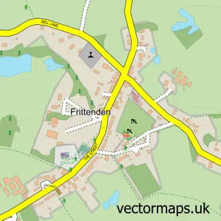
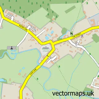
Nearby street map samples around Biddenden

More street maps in Kent
750 metre map area coverage
Boundary, postcode and point of interest information for the 750m x 750m rectangle centred on this sample map.
Boundaries containing map centre
Constituency: Weald of Kent Co Const
County: Kent County
District: Ashford District (B)
Icb: NHS Kent and Medway ICB
Parish: Biddenden CP
Police Force: kent
Postcode District: TN27
Postcode Sector: TN27 8
Ward: Biddenden Ward
Nearby boundaries intersecting sample
No additional intersecting boundaries found.
Postcode coverage
POI category counts
Church Cathedral: 2
Convenience Store: 2
Professional Services: 2
Pub: 2
Restaurant: 2
Sports Club And League: 2
Web Designer: 2
Art Restoration Service: 1
Arts And Entertainment: 1
Asian Restaurant: 1
Sample points of interest
- Finn-Kelcey Fine Art Restoration
- Biddenden Village Hall
- New Golden Kitchen
- R10 Tyres and Service
- Charlotte's Beauty Room
- Tudor Cottage Bed and Breakfast
- The Bakehouse
- Realign Your Career
- Biddenden Parish Church (Belfry)
- Malawi Association for Christian Support
- All Saints
- Hope Community Church
Create a larger editable map of Biddenden
This sample shows only a 750 metre area. To create a larger map of Biddenden, use our map builder to choose your own coverage area, add titles and download editable SVG, PDF and PNG files.
Create a custom map of Biddenden