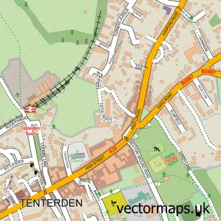
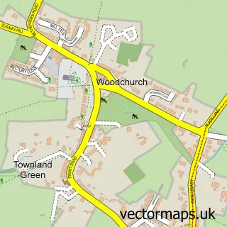
This High Halden street map is a detailed vector street map covering a 750m x 750m area. Select a larger area to create and download your own vector street map of High Halden.
The 750-metre map sample for High Halden covers 221 mapped buildings and approximately 6.7 km of road detail, of which 10 named roads are named. The immediate area includes 1 school, 2 pubs and 1 MOT station within 2 miles. The wider area around High Halden features 2 food and drink venues and 1 campsite within 2 miles. To create a larger or custom map of High Halden, the map builder lets you define your own coverage area and download editable SVG, PDF and PNG files.
Create a larger editable map of High Halden
Choose any area you need and generate a high-quality vector map instantly. Perfect for print, planning, design, business and personal use.

This High Halden street map in Kent is available as downloadable SVG, PDF and PNG map files, or as a printed map for planning, business, display, education, local information and design work. You can also create a larger custom map area using the map selector.
What this High Halden map sample shows
High Halden lies within High Halden Cp parish, part of Weald Central ward in the Ashford District (B) local authority area. The postcode geography for this area includes the TN postcode area, the TN26 postcode district and the TN26 3 postcode sector. Residents fall under the Nhs Kent And Medway Integrated Care Board for NHS services.
Local features near High Halden
Within 2 milesAmenities and services in and around High Halden.
Administrative and postcode information for High Halden
High Halden lies within High Halden Cp parish, part of Weald Central ward in the Ashford District (B) local authority area. The postcode geography for this area includes the TN postcode area, the TN26 postcode district and the TN26 3 postcode sector. Residents fall under the Nhs Kent And Medway Integrated Care Board for NHS services.
Nearby street map samples around High Halden


More street maps in Kent
750 metre map area coverage
Boundary, postcode and point of interest information for the 750m x 750m rectangle centred on this sample map.
Boundaries containing map centre
Constituency: Weald of Kent Co Const
County: Kent County
District: Ashford District (B)
Icb: NHS Kent and Medway ICB
Parish: High Halden CP
Police Force: kent
Postcode District: TN26
Postcode Sector: TN26 3
Ward: Weald Central Ward
Nearby boundaries intersecting sample
No additional intersecting boundaries found.
Postcode coverage
POI category counts
Active Life: 2
Preschool: 2
Professional Services: 2
Pub: 2
Anglican Church: 1
Beauty Salon: 1
Church Cathedral: 1
Contractor: 1
Convenience Store: 1
Education: 1
Sample points of interest
- Jack Raven Bushcraft Courses
- Jack Raven Bushcraft Courses
- St Mary the Virgin
- Liam Dawson Hair
- High Halden Churchyard
- MDDC
- One Stop
- Sylvan Environmental Enterprises
- Premierdrive
- High Halden Parochial C of E Primary School
- Plumb Straight
- Daisychains Holistic Wellbeing and Therapy Practice
Create a larger editable map of High Halden
This sample shows only a 750 metre area. To create a larger map of High Halden, use our map builder to choose your own coverage area, add titles and download editable SVG, PDF and PNG files.
Create a custom map of High Halden