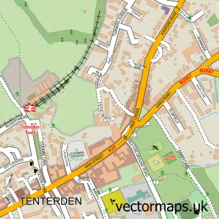
This Bethersden street map is a detailed vector street map covering a 750m x 750m area. Select a larger area to create and download your own vector street map of Bethersden.
The 750-metre map sample for Bethersden covers 291 mapped buildings and approximately 17.4 km of road detail, of which 15 named roads are named. The immediate area includes 1 school, 1 pub and 1 MOT station within 2 miles. The wider area around Bethersden features 2 tourism points of interest and 1 food and drink venue. To create a larger or custom map of Bethersden, the map builder lets you define your own coverage area and download editable SVG, PDF and PNG files.
Create a larger editable map of Bethersden
Choose any area you need and generate a high-quality vector map instantly. Perfect for print, planning, design, business and personal use.

This Bethersden street map in Kent is available as downloadable SVG, PDF and PNG map files, or as a printed map for planning, business, display, education, local information and design work. You can also create a larger custom map area using the map selector.
What this Bethersden map sample shows
Bethersden lies within Bethersden Cp parish, part of Weald Central ward in the Ashford District (B) local authority area. The postcode geography for this area includes the TN postcode area, the TN26 postcode district and the TN26 3 postcode sector. Residents fall under the Nhs Kent And Medway Integrated Care Board for NHS services.
Local features near Bethersden
Within 2 milesAmenities and services in and around Bethersden.
Administrative and postcode information for Bethersden
The local authority covering Bethersden is Ashford District (B), within the county of Kent. The settlement lies within Weald Central ward and Bethersden Cp civil parish. The TN26 postcode district and TN26 3 postcode sector serve the immediate area. NHS provision in the area is delivered through East Kent Hospitals University Nhs Foundation Trust.
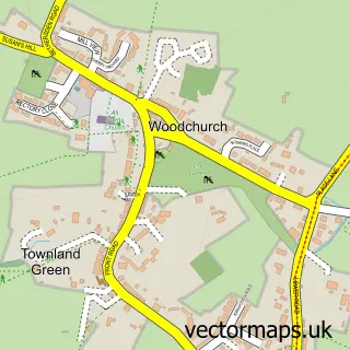
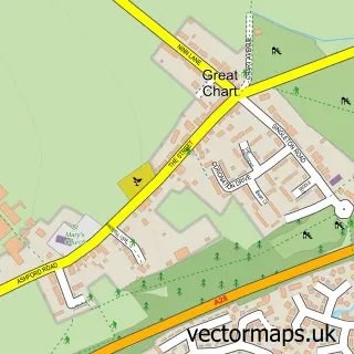
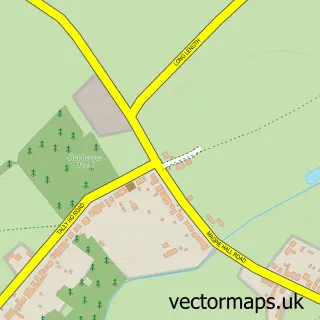
Nearby street map samples around Bethersden


More street maps in Kent
750 metre map area coverage
Boundary, postcode and point of interest information for the 750m x 750m rectangle centred on this sample map.
Boundaries containing map centre
Constituency: Weald of Kent Co Const
County: Kent County
District: Ashford District (B)
Icb: NHS Kent and Medway ICB
Parish: Bethersden CP
Police Force: kent
Postcode District: TN26
Postcode Sector: TN26 3
Ward: Weald Central Ward
Nearby boundaries intersecting sample
No additional intersecting boundaries found.
Postcode coverage
POI category counts
Church Cathedral: 3
Elementary School: 3
Chimney Sweep: 2
Legal Services: 2
Agricultural Service: 1
Amusement Park: 1
Baptist Church: 1
Beauty And Spa: 1
Beauty Salon: 1
Building Supply Store: 1
Sample points of interest
- A Jordan Services
- Lovelace Farm Livery Stables
- Bethersden Baptist Church
- Semi Permanent Makeup by Diana Hobbs
- Vibez Hair & Beauty
- Clarus Solutions
- Post Office-Bethersden
- Marchants of Bethersden
- The Old Apple Shed
- K S S
- K S S Chimney Sweeps Ltd
- St Margaret's Church
Create a larger editable map of Bethersden
This sample shows only a 750 metre area. To create a larger map of Bethersden, use our map builder to choose your own coverage area, add titles and download editable SVG, PDF and PNG files.
Create a custom map of Bethersden