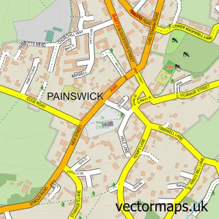
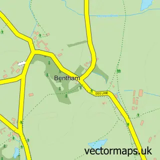
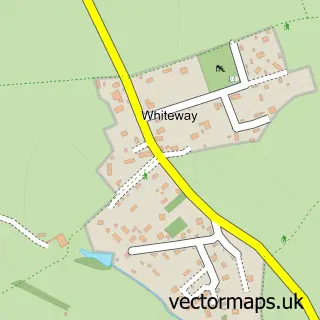
This Birdlip street map is a detailed vector street map covering a 750m x 750m area. Select a larger area to create and download your own vector street map of Birdlip.
The 750-metre map sample for Birdlip covers 92 mapped buildings and approximately 21.5 km of road detail, of which 3 named roads are named. The immediate area includes 1 school. The wider area around Birdlip features 2 hotels. To create a larger or custom map of Birdlip, the map builder lets you define your own coverage area and download editable SVG, PDF and PNG files.
Create a larger editable map of Birdlip
Choose any area you need and generate a high-quality vector map instantly. Perfect for print, planning, design, business and personal use.

This Birdlip street map in Gloucestershire is available as downloadable SVG, PDF and PNG map files, or as a printed map for planning, business, display, education, local information and design work. You can also create a larger custom map area using the map selector.
What this Birdlip map sample shows
Birdlip lies within Birdlip Cp parish, part of Ermin ward in the Cotswold District local authority area. The postcode geography for this area includes the GL postcode area, the GL4 postcode district and the GL4 8 postcode sector. Residents fall under the Nhs Gloucestershire Integrated Care Board for NHS services.
Local features near Birdlip
Within 2 milesAmenities and services in and around Birdlip.
Administrative and postcode information for Birdlip
The local authority covering Birdlip is Cotswold District, within the county of Gloucestershire. The settlement lies within Ermin ward and Birdlip Cp civil parish. The GL4 postcode district and GL4 8 postcode sector serve the immediate area. NHS provision in the area is delivered through Gloucestershire Hospitals Nhs Foundation Trust.
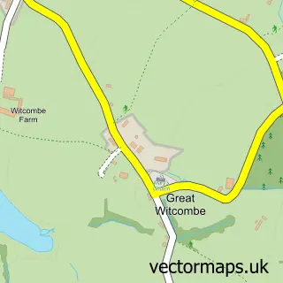
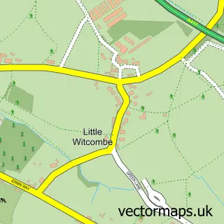
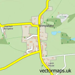
Nearby street map samples around Birdlip

More street maps in Gloucestershire
750 metre map area coverage
Boundary, postcode and point of interest information for the 750m x 750m rectangle centred on this sample map.
Boundaries containing map centre
Constituency: North Cotswolds Co Const
County: Gloucestershire County
District: Cotswold District
Icb: NHS Gloucestershire ICB
Parish: Birdlip CP
Police Force: gloucestershire
Postcode District: GL4
Postcode Sector: GL4 8
Ward: Ermin Ward
Nearby boundaries intersecting sample
District: Tewkesbury District (B)
Parish: Great Witcombe CP
Postcode District: GL3
Postcode Sector: GL3 4
Ward: Badgeworth Ward
Postcode coverage
POI category counts
Hotel: 2
Resort: 2
Amateur Sports Team: 1
Anglican Church: 1
Architectural Designer: 1
Arts And Entertainment: 1
Business Manufacturing And Supply: 1
Charity Organization: 1
Elementary School: 1
Pet Services: 1
Sample points of interest
- Birdlip & Brimpsfield Cricket Club
- Birdlip St Mary-in-Hamlet
- Pier Architects
- Birdlip Village Hall
- Mark Hannis Firewood
- Visit Santa In Birdlip
- Birdlip Primary School
- Royal George Hotel
- The Royal George
- Rushwood Kennels
- Royal George Hotel
- The Royal George
Create a larger editable map of Birdlip
This sample shows only a 750 metre area. To create a larger map of Birdlip, use our map builder to choose your own coverage area, add titles and download editable SVG, PDF and PNG files.
Create a custom map of Birdlip