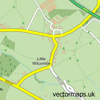
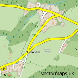
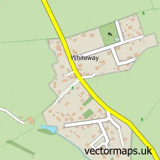
This Great Witcombe street map is a detailed vector street map covering a 750m x 750m area. Select a larger area to create and download your own vector street map of Great Witcombe.
The 750-metre map sample for Great Witcombe covers 38 mapped buildings and approximately 15.0 km of road detail. The immediate area includes 1 GP surgery within 2 miles. The wider area around Great Witcombe features 1 tourism point of interest. To create a larger or custom map of Great Witcombe, the map builder lets you define your own coverage area and download editable SVG, PDF and PNG files.
Create a larger editable map of Great Witcombe
Choose any area you need and generate a high-quality vector map instantly. Perfect for print, planning, design, business and personal use.

This Great Witcombe street map in Gloucestershire is available as downloadable SVG, PDF and PNG map files, or as a printed map for planning, business, display, education, local information and design work. You can also create a larger custom map area using the map selector.
What this Great Witcombe map sample shows
Great Witcombe lies within Great Witcombe Cp parish, part of Badgeworth ward in the Tewkesbury District (B) local authority area. The postcode geography for this area includes the GL postcode area, the GL3 postcode district and the GL3 4 postcode sector. Residents fall under the Nhs Gloucestershire Integrated Care Board for NHS services.
Local features near Great Witcombe
Within 2 milesAmenities and services in and around Great Witcombe.
Administrative and postcode information for Great Witcombe
Great Witcombe lies within Great Witcombe Cp parish, part of Badgeworth ward in the Tewkesbury District (B) local authority area. The postcode geography for this area includes the GL postcode area, the GL3 postcode district and the GL3 4 postcode sector. Residents fall under the Nhs Gloucestershire Integrated Care Board for NHS services.
Nearby street map samples around Great Witcombe
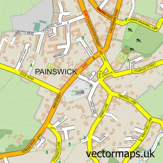

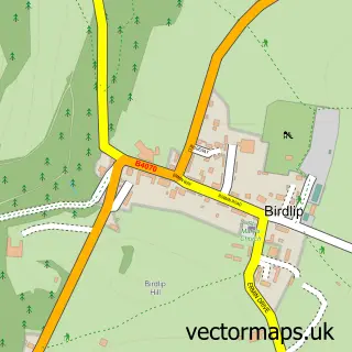
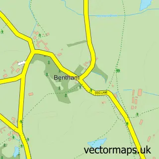
More street maps in Gloucestershire
750 metre map area coverage
Boundary, postcode and point of interest information for the 750m x 750m rectangle centred on this sample map.
Boundaries containing map centre
Constituency: North Cotswolds Co Const
County: Gloucestershire County
District: Tewkesbury District (B)
Icb: NHS Gloucestershire ICB
Parish: Great Witcombe CP
Police Force: gloucestershire
Postcode District: GL3
Postcode Sector: GL3 4
Ward: Badgeworth Ward
Nearby boundaries intersecting sample
Parish: Badgeworth CP
Postcode coverage
POI category counts
Alternative Medicine: 1
Anglican Church: 1
Antique Store: 1
Church Cathedral: 1
History Museum: 1
Marketing Agency: 1
Music School: 1
Tutoring Center: 1
Sample points of interest
- able2be Therapies & Coaching
- St Mary
- K Bawden
- Great Witcombe Saint Mary Churchyard
- Great Witcombe Roman Villa
- Elite Clients
- Matt Richardson Music
- 121 Language Tutoring
Create a larger editable map of Great Witcombe
This sample shows only a 750 metre area. To create a larger map of Great Witcombe, use our map builder to choose your own coverage area, add titles and download editable SVG, PDF and PNG files.
Create a custom map of Great Witcombe