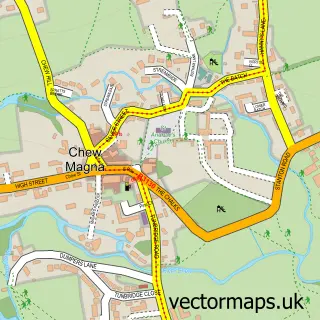
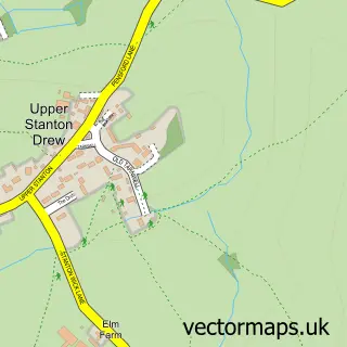
This Bishop Sutton street map is a detailed vector street map covering a 750m x 750m area. Select a larger area to create and download your own vector street map of Bishop Sutton.
The 750-metre map sample for Bishop Sutton covers 239 mapped buildings and approximately 9.9 km of road detail, of which 15 named roads are named. The immediate area includes 1 school, 1 pub and 1 MOT station. The wider area around Bishop Sutton features 1 food and drink venue, 1 hotel and 2 campsites within 2 miles. To create a larger or custom map of Bishop Sutton, the map builder lets you define your own coverage area and download editable SVG, PDF and PNG files.
Create a larger editable map of Bishop Sutton
Choose any area you need and generate a high-quality vector map instantly. Perfect for print, planning, design, business and personal use.

This Bishop Sutton street map in Somerset is available as downloadable SVG, PDF and PNG map files, or as a printed map for planning, business, display, education, local information and design work. You can also create a larger custom map area using the map selector.
What this Bishop Sutton map sample shows
Bishop Sutton lies within Stowey-Sutton Cp parish, part of Chew Valley ward in the Bath And North East Somerset local authority area. The postcode geography for this area includes the BS postcode area, the BS39 postcode district and the BS39 5 postcode sector. Residents fall under the Nhs Bath And North East Somerset, Swindon And Wiltshire Integrated Care Board for NHS services.
Local features near Bishop Sutton
Within 2 milesAmenities and services in and around Bishop Sutton.
Administrative and postcode information for Bishop Sutton
The local authority covering Bishop Sutton is Bath And North East Somerset, within the county of Somerset. The settlement lies within Chew Valley ward and Stowey-Sutton Cp civil parish. The BS39 postcode district and BS39 5 postcode sector serve the immediate area. NHS provision in the area is delivered through University Hospitals Bristol And Weston Nhs Foundation Trust.
Nearby street map samples around Bishop Sutton
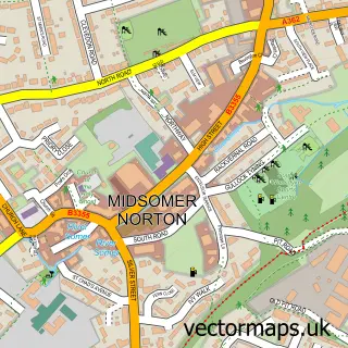

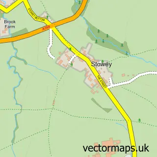
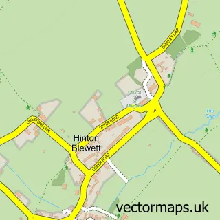
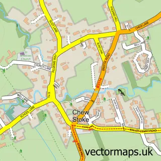
More street maps in Somerset
750 metre map area coverage
Boundary, postcode and point of interest information for the 750m x 750m rectangle centred on this sample map.
Boundaries containing map centre
Constituency: North East Somerset and Hanham Co Const
District: Bath and North East Somerset
Icb: NHS Bath and North East Somerset Swindon and Wiltshire ICB
Parish: Stowey-Sutton CP
Police Force: avon and somerset
Postcode District: BS39
Postcode Sector: BS39 5
Ward: Chew Valley Ward
Nearby boundaries intersecting sample
Postcode District: BS40
Postcode Sector: BS40 6
Postcode coverage
POI category counts
Convenience Store: 3
Amateur Sports Team: 1
Anglican Church: 1
Business: 1
Church Cathedral: 1
Community Center: 1
Dairy Stores: 1
Elementary School: 1
Environmental Testing: 1
Hair Salon: 1
Sample points of interest
- Bishop Sutton AFC
- Holy Trinity
- Johnston Horsburgh
- Holy Trinity Church, Bishop Sutton
- Bishop Sutton Village Hall
- Chew Valley SPAR
- SPAR
- SPAR Wick Road
- Westway Farm
- Bishop Sutton Primary School
- Environmental Gain
- Cut Above
Create a larger editable map of Bishop Sutton
This sample shows only a 750 metre area. To create a larger map of Bishop Sutton, use our map builder to choose your own coverage area, add titles and download editable SVG, PDF and PNG files.
Create a custom map of Bishop Sutton