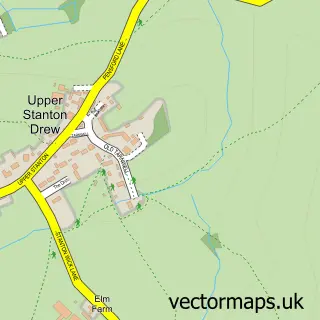
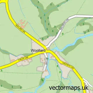
This Stanton Drew street map is a detailed vector street map covering a 750m x 750m area. Select a larger area to create and download your own vector street map of Stanton Drew.
The 750-metre map sample for Stanton Drew covers 81 mapped buildings and approximately 6.6 km of road detail, of which 1 named road are named. The immediate area includes 1 pub and 2 MOT stations within 2 miles. The wider area around Stanton Drew features 2 tourism points of interest, 1 food and drink venue and 2 hotels. To create a larger or custom map of Stanton Drew, the map builder lets you define your own coverage area and download editable SVG, PDF and PNG files.
Create a larger editable map of Stanton Drew
Choose any area you need and generate a high-quality vector map instantly. Perfect for print, planning, design, business and personal use.

This Stanton Drew street map in Somerset is available as downloadable SVG, PDF and PNG map files, or as a printed map for planning, business, display, education, local information and design work. You can also create a larger custom map area using the map selector.
What this Stanton Drew map sample shows
Stanton Drew lies within Stanton Drew Cp parish, part of Chew Valley ward in the Bath And North East Somerset local authority area. The postcode geography for this area includes the BS postcode area, the BS39 postcode district and the BS39 4 postcode sector. Residents fall under the Nhs Bath And North East Somerset, Swindon And Wiltshire Integrated Care Board for NHS services.
Local features near Stanton Drew
Within 2 milesAmenities and services in and around Stanton Drew.
Administrative and postcode information for Stanton Drew
The local authority covering Stanton Drew is Bath And North East Somerset, within the county of Somerset. The settlement lies within Chew Valley ward and Stanton Drew Cp civil parish. The BS39 postcode district and BS39 4 postcode sector serve the immediate area. NHS provision in the area is delivered through Royal United Hospitals Bath Nhs Foundation Trust.
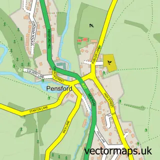
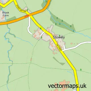
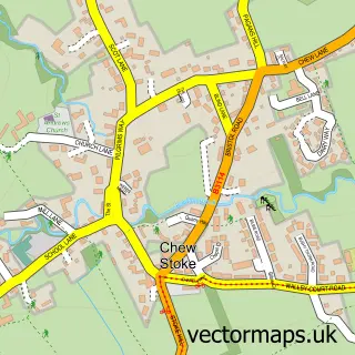
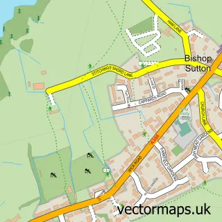
Nearby street map samples around Stanton Drew

More street maps in Somerset
750 metre map area coverage
Boundary, postcode and point of interest information for the 750m x 750m rectangle centred on this sample map.
Boundaries containing map centre
Constituency: North East Somerset and Hanham Co Const
District: Bath and North East Somerset
Icb: NHS Bath and North East Somerset Swindon and Wiltshire ICB
Parish: Stanton Drew CP
Police Force: avon and somerset
Postcode District: BS39
Postcode Sector: BS39 4
Ward: Chew Valley Ward
Nearby boundaries intersecting sample
Parish: Chew Magna CP
Postcode coverage
POI category counts
Hotel: 2
Landmark And Historical Building: 2
Anglican Church: 1
Monument: 1
Preschool: 1
Pub: 1
Retirement Home: 1
Ruin: 1
Travel Agents: 1
Sample points of interest
- St Mary the Virgin
- The Tithe Barn
- The Tithe Barn
- Stanton Drew
- The Round House
- Stanton Drew War Memorial
- Stanton Drew and Pensford Preschool
- The Druid's Arms
- Stanton Court Care & Nursing Home
- Stanton Drew Circles And Cove
- Compass Worldwide Travel
Create a larger editable map of Stanton Drew
This sample shows only a 750 metre area. To create a larger map of Stanton Drew, use our map builder to choose your own coverage area, add titles and download editable SVG, PDF and PNG files.
Create a custom map of Stanton Drew