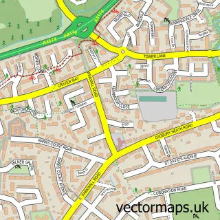
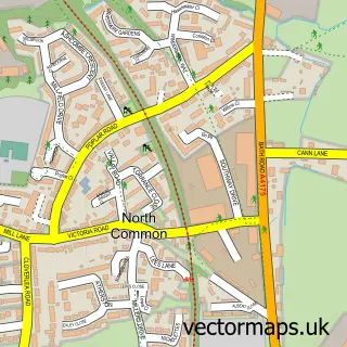
This Keynsham street map is a detailed vector street map covering a 750m x 750m area. Select a larger area to create and download your own vector street map of Keynsham.
The 750-metre map sample for Keynsham covers 320 mapped buildings and approximately 22.4 km of road detail, of which 43 named roads are named. The immediate area includes 1 railway station, 1 GP surgery, with 3 within 2 miles, 9 pubs and 1 MOT station, with 13 within 2 miles. The wider area around Keynsham features 5 tourism points of interest, 20 food and drink venues and 1 hotel. To create a larger or custom map of Keynsham, the map builder lets you define your own coverage area and download editable SVG, PDF and PNG files.
Create a larger editable map of Keynsham
Choose any area you need and generate a high-quality vector map instantly. Perfect for print, planning, design, business and personal use.

This Keynsham street map in Somerset is available as downloadable SVG, PDF and PNG map files, or as a printed map for planning, business, display, education, local information and design work. You can also create a larger custom map area using the map selector.
What this Keynsham map sample shows
Keynsham lies within Keynsham Cp parish, part of Keynsham East ward in the Bath And North East Somerset local authority area. The postcode geography for this area includes the BS postcode area, the BS31 postcode district and the BS31 1 postcode sector. Residents fall under the Nhs Bath And North East Somerset, Swindon And Wiltshire Integrated Care Board for NHS services.
Local features near Keynsham
Within 2 milesAmenities and services in and around Keynsham.
Administrative and postcode information for Keynsham
The local authority covering Keynsham is Bath And North East Somerset, within the county of Somerset. The settlement lies within Keynsham East ward and Keynsham Cp civil parish. The BS31 postcode district and BS31 1 postcode sector serve the immediate area. NHS provision in the area is delivered through Royal United Hospitals Bath Nhs Foundation Trust.
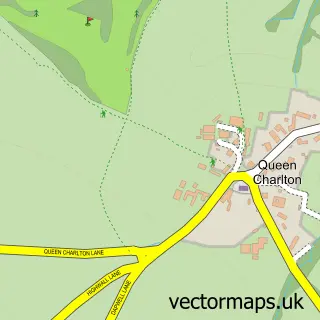
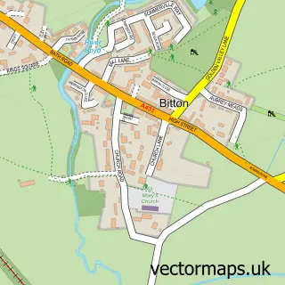
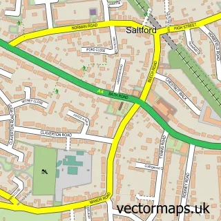
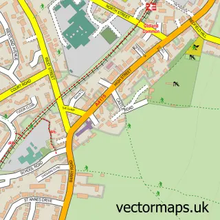
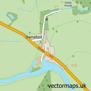
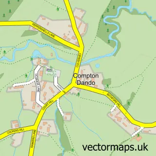
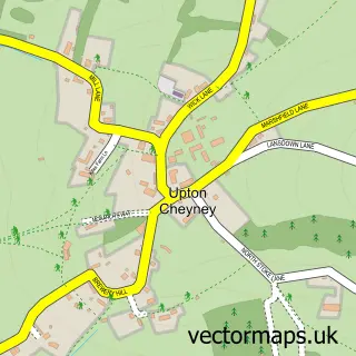
Nearby street map samples around Keynsham

More street maps in Somerset
750 metre map area coverage
Boundary, postcode and point of interest information for the 750m x 750m rectangle centred on this sample map.
Boundaries containing map centre
Constituency: North East Somerset and Hanham Co Const
District: Bath and North East Somerset
Icb: NHS Bath and North East Somerset Swindon and Wiltshire ICB
Parish: Keynsham CP
Police Force: avon and somerset
Postcode District: BS31
Postcode Sector: BS31 1
Ward: Keynsham North Ward
Nearby boundaries intersecting sample
Postcode Sector: BS31 2
Ward: Keynsham East Ward, Keynsham South Ward
Postcode coverage
POI category counts
Hair Salon: 11
Professional Services: 11
Banks: 10
Pub: 9
Beauty Salon: 8
Charity Organization: 8
Church Cathedral: 8
Barber: 7
Beauty And Spa: 6
Dentist: 6
Sample points of interest
- Grafton Jones
- Norton Tax Shops Ltd.
- Market-U
- Keynsham Ambulance Station SWAST
- St John Ambulance Keynsham Division
- Age UK
- St Peter's Hospice
- We Are Not Architects
- Tripps of Keynsham
- EspeciallymadeArt
- Keynsham Bathrooms & Hardware
- Keynsham Music Festival
Create a larger editable map of Keynsham
This sample shows only a 750 metre area. To create a larger map of Keynsham, use our map builder to choose your own coverage area, add titles and download editable SVG, PDF and PNG files.
Create a custom map of Keynsham