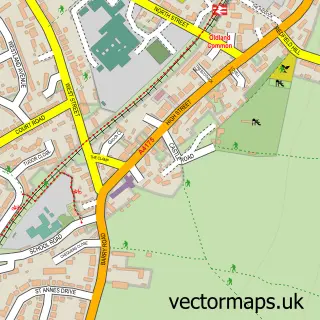
This Bitton street map is a detailed vector street map covering a 750m x 750m area. Select a larger area to create and download your own vector street map of Bitton.
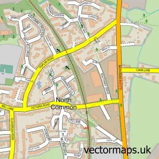
The 750-metre map sample for Bitton covers 181 mapped buildings and approximately 11.8 km of road detail, of which 19 named roads are named. The immediate area includes 2 GP surgeries within 2 miles, 2 pubs and 2 MOT stations, with 10 within 2 miles. The wider area around Bitton features 1 tourism point of interest, 2 food and drink venues and 2 campsites within 2 miles. To create a larger or custom map of Bitton, the map builder lets you define your own coverage area and download editable SVG, PDF and PNG files.
Create a larger editable map of Bitton
Choose any area you need and generate a high-quality vector map instantly. Perfect for print, planning, design, business and personal use.

This Bitton street map in Gloucestershire is available as downloadable SVG, PDF and PNG map files, or as a printed map for planning, business, display, education, local information and design work. You can also create a larger custom map area using the map selector.
What this Bitton map sample shows
Bitton lies within Bitton Cp parish, part of Bitton & Oldland Common ward in the South Gloucestershire local authority area. The postcode geography for this area includes the BS postcode area, the BS30 postcode district and the BS30 6 postcode sector. Residents fall under the Nhs Bristol, North Somerset And South Gloucestershire Integrated Care Board for NHS services.
Local features near Bitton
Within 2 milesAmenities and services in and around Bitton.
Administrative and postcode information for Bitton
Bitton lies within Bitton Cp parish, part of Bitton & Oldland Common ward in the South Gloucestershire local authority area. The postcode geography for this area includes the BS postcode area, the BS30 postcode district and the BS30 6 postcode sector. Residents fall under the Nhs Bristol, North Somerset And South Gloucestershire Integrated Care Board for NHS services.
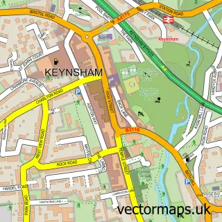
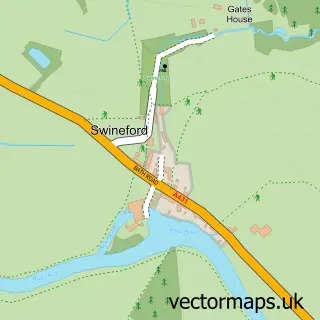
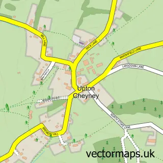
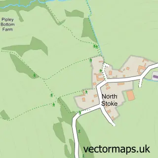
Nearby street map samples around Bitton

More street maps in Gloucestershire
750 metre map area coverage
Boundary, postcode and point of interest information for the 750m x 750m rectangle centred on this sample map.
Boundaries containing map centre
Constituency: North East Somerset and Hanham Co Const
District: South Gloucestershire
Icb: NHS Bristol North Somerset and South Gloucestershire ICB
Parish: Bitton CP
Police Force: avon and somerset
Postcode District: BS30
Postcode Sector: BS30 6
Ward: Bitton & Oldland Common Ward
Nearby boundaries intersecting sample
No additional intersecting boundaries found.
Postcode coverage
POI category counts
Convenience Store: 3
Professional Services: 3
Automotive Repair: 2
Pub: 2
Accountant: 1
Art Gallery: 1
Building Supply Store: 1
Church Cathedral: 1
Counseling And Mental Health: 1
Education: 1
Sample points of interest
- Cleevewood Accountancy
- Russell Rare Prints
- Bitton Motor Company
- Central Garage Bitton
- Quartz-Lite
- St Mary's Church, Bitton
- Joans Convenient Store
- Premier
- Spar
- Susanna Hoare Psychotherapy
- Leaping Lambs Nursery
- The Meadows Out of School Club
Create a larger editable map of Bitton
This sample shows only a 750 metre area. To create a larger map of Bitton, use our map builder to choose your own coverage area, add titles and download editable SVG, PDF and PNG files.
Create a custom map of Bitton