This Kelston street map is a detailed vector street map covering a 750m x 750m area. Select a larger area to create and download your own vector street map of Kelston.
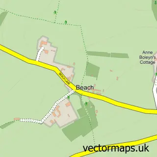
The 750-metre map sample for Kelston covers 83 mapped buildings and approximately 7.7 km of road detail, of which 3 named roads are named. The immediate area includes 1 GP surgery within 2 miles, 1 pub and 8 MOT stations within 2 miles. The wider area around Kelston features 2 tourism points of interest, 2 food and drink venues and 1 hotel. To create a larger or custom map of Kelston, the map builder lets you define your own coverage area and download editable SVG, PDF and PNG files.
Create a larger editable map of Kelston
Choose any area you need and generate a high-quality vector map instantly. Perfect for print, planning, design, business and personal use.

This Kelston street map in Somerset is available as downloadable SVG, PDF and PNG map files, or as a printed map for planning, business, display, education, local information and design work. You can also create a larger custom map area using the map selector.
What this Kelston map sample shows
Kelston lies within Kelston Cp parish, part of Newbridge ward in the Bath And North East Somerset local authority area. The postcode geography for this area includes the BA postcode area, the BA1 postcode district and the BA1 9 postcode sector. Residents fall under the Nhs Bath And North East Somerset, Swindon And Wiltshire Integrated Care Board for NHS services.
Local features near Kelston
Within 2 milesAmenities and services in and around Kelston.
Administrative and postcode information for Kelston
Kelston lies within Kelston Cp parish, part of Newbridge ward in the Bath And North East Somerset local authority area. The postcode geography for this area includes the BA postcode area, the BA1 postcode district and the BA1 9 postcode sector. Residents fall under the Nhs Bath And North East Somerset, Swindon And Wiltshire Integrated Care Board for NHS services.
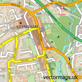
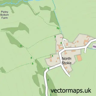
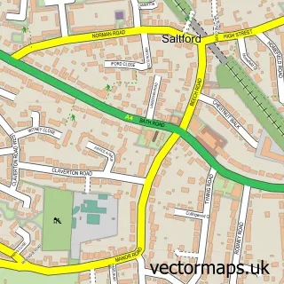
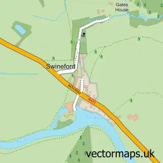
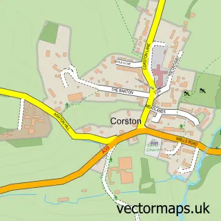
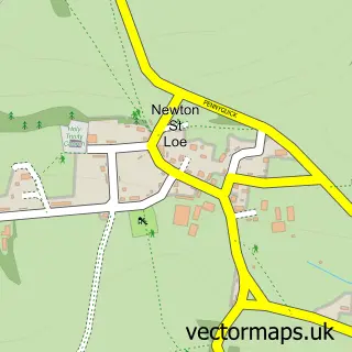
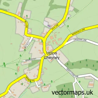
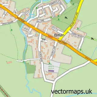
Nearby street map samples around Kelston

More street maps in Somerset
750 metre map area coverage
Boundary, postcode and point of interest information for the 750m x 750m rectangle centred on this sample map.
Boundaries containing map centre
Constituency: Bath Co Const
District: Bath and North East Somerset
Icb: NHS Bath and North East Somerset Swindon and Wiltshire ICB
Parish: Kelston CP
Police Force: avon and somerset
Postcode District: BA1
Postcode Sector: BA1 9
Ward: Newbridge Ward
Nearby boundaries intersecting sample
No additional intersecting boundaries found.
Postcode coverage
POI category counts
Church Cathedral: 2
Accommodation: 1
Attractions And Activities: 1
Beauty Salon: 1
Bed And Breakfast: 1
Building Supply Store: 1
Campground: 1
Cheese Shop: 1
Coffee Shop: 1
Gardener: 1
Sample points of interest
- Top Cat Country House Hotel
- Brocks Outdoor Adventures
- Natural Beauty
- Roundhill Farmhouse
- A4 Asbestos
- River View Camping
- Bath Soft Cheese
- Church 180 Turning Nations Back to Christ
- St Nicholas Church, Kelston
- Bath Soft Cheese
- Roundhill Landscapes
- Park Farm
Create a larger editable map of Kelston
This sample shows only a 750 metre area. To create a larger map of Kelston, use our map builder to choose your own coverage area, add titles and download editable SVG, PDF and PNG files.
Create a custom map of Kelston