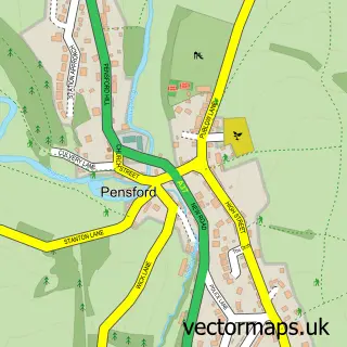
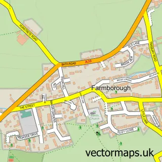
This Compton Dando street map is a detailed vector street map covering a 750m x 750m area. Select a larger area to create and download your own vector street map of Compton Dando.
The 750-metre map sample for Compton Dando covers 100 mapped buildings and approximately 8.0 km of road detail, of which 8 named roads are named. The immediate area includes 1 pub and 1 MOT station within 2 miles. The wider area around Compton Dando features 1 tourism point of interest and 1 food and drink venue. To create a larger or custom map of Compton Dando, the map builder lets you define your own coverage area and download editable SVG, PDF and PNG files.
Create a larger editable map of Compton Dando
Choose any area you need and generate a high-quality vector map instantly. Perfect for print, planning, design, business and personal use.

This Compton Dando street map in Somerset is available as downloadable SVG, PDF and PNG map files, or as a printed map for planning, business, display, education, local information and design work. You can also create a larger custom map area using the map selector.
What this Compton Dando map sample shows
Compton Dando lies within Compton Dando Cp parish, part of Saltford ward in the Bath And North East Somerset local authority area. The postcode geography for this area includes the BS postcode area, the BS39 postcode district and the BS39 4 postcode sector. Residents fall under the Nhs Bath And North East Somerset, Swindon And Wiltshire Integrated Care Board for NHS services.
Local features near Compton Dando
Within 2 milesAmenities and services in and around Compton Dando.
Administrative and postcode information for Compton Dando
The local authority covering Compton Dando is Bath And North East Somerset, within the county of Somerset. The settlement lies within Saltford ward and Compton Dando Cp civil parish. The BS39 postcode district and BS39 4 postcode sector serve the immediate area. NHS provision in the area is delivered through Royal United Hospitals Bath Nhs Foundation Trust.
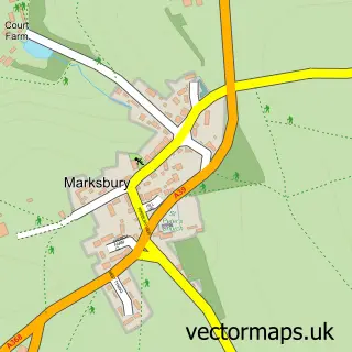
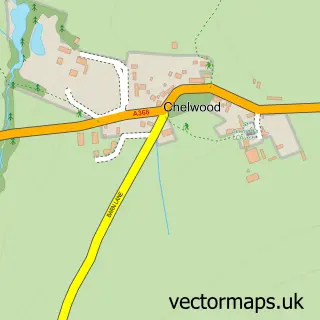
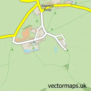
Nearby street map samples around Compton Dando
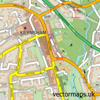

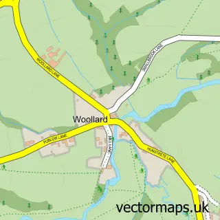
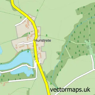
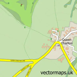
More street maps in Somerset
750 metre map area coverage
Boundary, postcode and point of interest information for the 750m x 750m rectangle centred on this sample map.
Boundaries containing map centre
Constituency: North East Somerset and Hanham Co Const
District: Bath and North East Somerset
Icb: NHS Bath and North East Somerset Swindon and Wiltshire ICB
Parish: Compton Dando CP
Police Force: avon and somerset
Postcode District: BS39
Postcode Sector: BS39 4
Ward: Saltford Ward
Nearby boundaries intersecting sample
No additional intersecting boundaries found.
Postcode coverage
POI category counts
Flowers And Gifts Shop: 3
Anglican Church: 1
Attractions And Activities: 1
Bed And Breakfast: 1
Bridal Shop: 1
Church Cathedral: 1
Community Services Non Profits: 1
Dog Trainer: 1
Electrical Wholesaler: 1
Mortgage Broker: 1
Sample points of interest
- St Mary’s
- Compton Dando Village
- Cottage Garden
- Wedbury Creative
- Church of St Mary
- Compton Dando Parish Hall
- Taylored Training Tribe
- Sulis Acoustics
- Bath Farmers Market
- Compton Garden Flowers
- Little British Flower Company
- Wall 2 Wall Finance
Create a larger editable map of Compton Dando
This sample shows only a 750 metre area. To create a larger map of Compton Dando, use our map builder to choose your own coverage area, add titles and download editable SVG, PDF and PNG files.
Create a custom map of Compton Dando