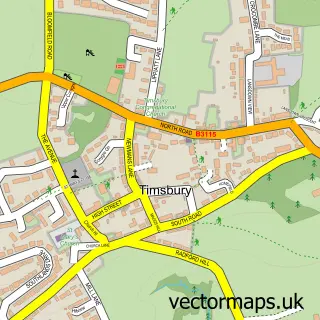
This Marksbury street map is a detailed vector street map covering a 750m x 750m area. Select a larger area to create and download your own vector street map of Marksbury.
The 750-metre map sample for Marksbury covers 113 mapped buildings and approximately 10.7 km of road detail, of which 4 named roads are named. The immediate area includes 1 school and 1 MOT station within 2 miles. To create a larger or custom map of Marksbury, the map builder lets you define your own coverage area and download editable SVG, PDF and PNG files.
Create a larger editable map of Marksbury
Choose any area you need and generate a high-quality vector map instantly. Perfect for print, planning, design, business and personal use.

This Marksbury street map in Somerset is available as downloadable SVG, PDF and PNG map files, or as a printed map for planning, business, display, education, local information and design work. You can also create a larger custom map area using the map selector.
What this Marksbury map sample shows
Marksbury lies within Marksbury Cp parish, part of Bathavon South ward in the Bath And North East Somerset local authority area. The postcode geography for this area includes the BA postcode area, the BA2 postcode district and the BA2 9 postcode sector. Residents fall under the Nhs Bath And North East Somerset, Swindon And Wiltshire Integrated Care Board for NHS services.
Local features near Marksbury
Within 2 milesAmenities and services in and around Marksbury.
Administrative and postcode information for Marksbury
Marksbury lies within Marksbury Cp parish, part of Bathavon South ward in the Bath And North East Somerset local authority area. The postcode geography for this area includes the BA postcode area, the BA2 postcode district and the BA2 9 postcode sector. Residents fall under the Nhs Bath And North East Somerset, Swindon And Wiltshire Integrated Care Board for NHS services.
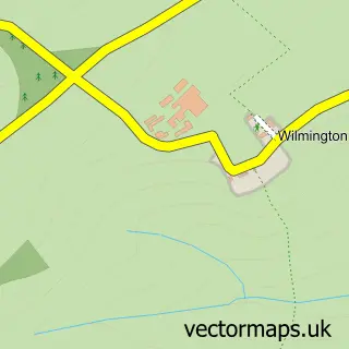
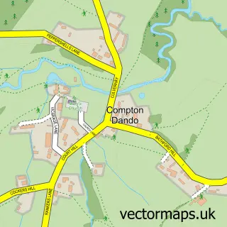
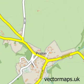
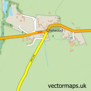
Nearby street map samples around Marksbury

More street maps in Somerset
750 metre map area coverage
Boundary, postcode and point of interest information for the 750m x 750m rectangle centred on this sample map.
Boundaries containing map centre
Constituency: Frome and East Somerset Co Const
District: Bath and North East Somerset
Icb: NHS Bath and North East Somerset Swindon and Wiltshire ICB
Parish: Marksbury CP
Police Force: avon and somerset
Postcode District: BA2
Postcode Sector: BA2 9
Ward: Bathavon South Ward
Nearby boundaries intersecting sample
No additional intersecting boundaries found.
Postcode coverage
POI category counts
Anglican Church: 1
Beauty Salon: 1
Church Cathedral: 1
Electrician: 1
Elementary School: 1
Plumbing: 1
Tattoo And Piercing: 1
Topic Concert Venue: 1
Sample points of interest
- St Peter
- The Beauty Barn Marksbury
- Church of St Peter
- Deacon Electrics
- Marksbury Primary School
- ADS Plumbing & Heating SW
- Sacred Rose Body Piercing
- Marksbury Village Hall Venue Hire
Create a larger editable map of Marksbury
This sample shows only a 750 metre area. To create a larger map of Marksbury, use our map builder to choose your own coverage area, add titles and download editable SVG, PDF and PNG files.
Create a custom map of Marksbury