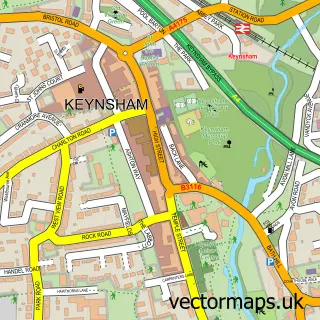
This Hunstrete street map is a detailed vector street map covering a 750m x 750m area. Select a larger area to create and download your own vector street map of Hunstrete.
The 750-metre map sample for Hunstrete covers 48 mapped buildings and approximately 4.4 km of road detail. The immediate area includes 1 MOT station within 2 miles. To create a larger or custom map of Hunstrete, the map builder lets you define your own coverage area and download editable SVG, PDF and PNG files.
Create a larger editable map of Hunstrete
Choose any area you need and generate a high-quality vector map instantly. Perfect for print, planning, design, business and personal use.

This Hunstrete street map in Somerset is available as downloadable SVG, PDF and PNG map files, or as a printed map for planning, business, display, education, local information and design work. You can also create a larger custom map area using the map selector.
What this Hunstrete map sample shows
Hunstrete lies within Marksbury Cp parish, part of Bathavon South ward in the Bath And North East Somerset local authority area. The postcode geography for this area includes the BS postcode area, the BS39 postcode district and the BS39 4 postcode sector. Residents fall under the Nhs Bath And North East Somerset, Swindon And Wiltshire Integrated Care Board for NHS services.
Local features near Hunstrete
Within 2 milesAmenities and services in and around Hunstrete.
Administrative and postcode information for Hunstrete
Hunstrete lies within Marksbury Cp parish, part of Bathavon South ward in the Bath And North East Somerset local authority area. The postcode geography for this area includes the BS postcode area, the BS39 postcode district and the BS39 4 postcode sector. Residents fall under the Nhs Bath And North East Somerset, Swindon And Wiltshire Integrated Care Board for NHS services.
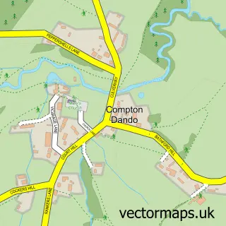
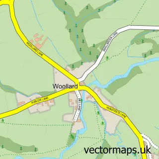
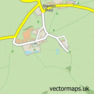
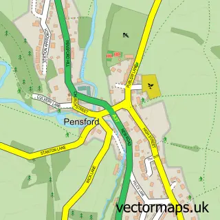
Nearby street map samples around Hunstrete

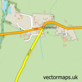
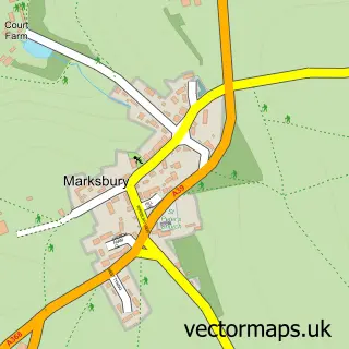
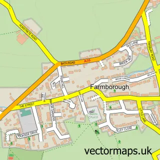
More street maps in Somerset
750 metre map area coverage
Boundary, postcode and point of interest information for the 750m x 750m rectangle centred on this sample map.
Boundaries containing map centre
Constituency: Frome and East Somerset Co Const, North East Somerset and Hanham Co Const
District: Bath and North East Somerset
Icb: NHS Bath and North East Somerset Swindon and Wiltshire ICB
Police Force: avon and somerset
Postcode District: BS39
Postcode Sector: BS39 4
Ward: Saltford Ward
Nearby boundaries intersecting sample
Parish: Compton Dando CP, Marksbury CP
Ward: Bathavon South Ward
Postcode coverage
POI category counts
Dog Trainer: 2
Paintball: 2
Employment Agencies: 1
Equestrian Facility: 1
Lake: 1
Sample points of interest
- South West Dog Skills
- South West Dog Skills
- Chase Resourcing
- Warren Eventing
- Hunstrete Lake
- Go Ballistic Bath
- Hamburger Hill
Create a larger editable map of Hunstrete
This sample shows only a 750 metre area. To create a larger map of Hunstrete, use our map builder to choose your own coverage area, add titles and download editable SVG, PDF and PNG files.
Create a custom map of Hunstrete