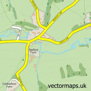
This High Littleton street map is a detailed vector street map covering a 750m x 750m area. Select a larger area to create and download your own vector street map of High Littleton.
The 750-metre map sample for High Littleton covers 347 mapped buildings and approximately 12.2 km of road detail, of which 22 named roads are named. The immediate area includes 1 school, 2 GP surgeries within 2 miles, 1 pub and 1 MOT station, with 6 within 2 miles. The wider area around High Littleton features 1 food and drink venue. To create a larger or custom map of High Littleton, the map builder lets you define your own coverage area and download editable SVG, PDF and PNG files.
Create a larger editable map of High Littleton
Choose any area you need and generate a high-quality vector map instantly. Perfect for print, planning, design, business and personal use.

This High Littleton street map in Somerset is available as downloadable SVG, PDF and PNG map files, or as a printed map for planning, business, display, education, local information and design work. You can also create a larger custom map area using the map selector.
What this High Littleton map sample shows
High Littleton lies within High Littleton Cp parish, part of High Littleton ward in the Bath And North East Somerset local authority area. The postcode geography for this area includes the BS postcode area, the BS39 postcode district and the BS39 6 postcode sector. Residents fall under the Nhs Bath And North East Somerset, Swindon And Wiltshire Integrated Care Board for NHS services.
Local features near High Littleton
Within 2 milesAmenities and services in and around High Littleton.
Administrative and postcode information for High Littleton
High Littleton lies within High Littleton Cp parish, part of High Littleton ward in the Bath And North East Somerset local authority area. The postcode geography for this area includes the BS postcode area, the BS39 postcode district and the BS39 6 postcode sector. Residents fall under the Nhs Bath And North East Somerset, Swindon And Wiltshire Integrated Care Board for NHS services.
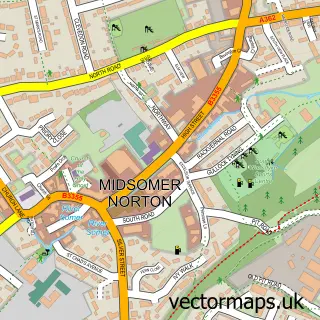
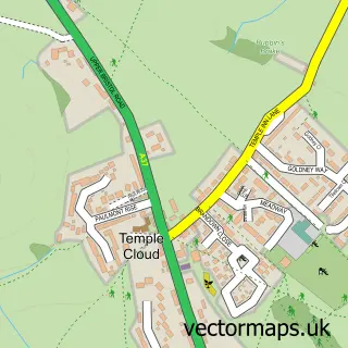
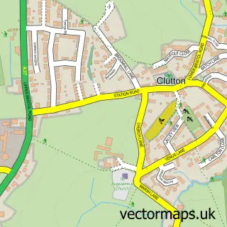
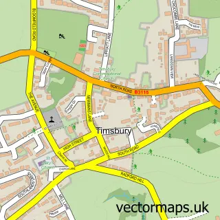
Nearby street map samples around High Littleton


More street maps in Somerset
750 metre map area coverage
Boundary, postcode and point of interest information for the 750m x 750m rectangle centred on this sample map.
Boundaries containing map centre
Constituency: North East Somerset and Hanham Co Const
District: Bath and North East Somerset
Icb: NHS Bath and North East Somerset Swindon and Wiltshire ICB
Parish: High Littleton CP
Police Force: avon and somerset
Postcode District: BS39
Postcode Sector: BS39 6
Ward: High Littleton Ward
Nearby boundaries intersecting sample
Parish: Clutton CP
Ward: Clutton & Farmborough Ward
Postcode coverage
POI category counts
Convenience Store: 2
Courier And Delivery Services: 2
Fish And Chips Restaurant: 2
Korean Grocery Store: 2
Professional Services: 2
Anglican Church: 1
Assisted Living Facility: 1
Automotive Repair: 1
Bakery: 1
Bathroom Remodeling: 1
Sample points of interest
- Holy Trinity, High Littleton
- Rosewell Country Home
- The Laurel Garage
- Huggenkiss Bakery
- P & J Showers
- Avon Promotional Products
- Ken Biggs Contractors
- SPAR
- SPAR High Littleton
- Ace Entertainment UK
- Evri ParcelShop
- Evri ParcelShop
Create a larger editable map of High Littleton
This sample shows only a 750 metre area. To create a larger map of High Littleton, use our map builder to choose your own coverage area, add titles and download editable SVG, PDF and PNG files.
Create a custom map of High Littleton