This Clutton street map is a detailed vector street map covering a 750m x 750m area. Select a larger area to create and download your own vector street map of Clutton.
The 750-metre map sample for Clutton covers 327 mapped buildings and approximately 13.1 km of road detail, of which 18 named roads are named. The immediate area includes 1 school, 1 pub and 3 MOT stations within 2 miles. The wider area around Clutton features 1 tourism point of interest and 2 food and drink venues. To create a larger or custom map of Clutton, the map builder lets you define your own coverage area and download editable SVG, PDF and PNG files.
Create a larger editable map of Clutton
Choose any area you need and generate a high-quality vector map instantly. Perfect for print, planning, design, business and personal use.

This Clutton street map in Somerset is available as downloadable SVG, PDF and PNG map files, or as a printed map for planning, business, display, education, local information and design work. You can also create a larger custom map area using the map selector.
What this Clutton map sample shows
Clutton lies within Clutton Cp parish, part of Clutton & Farmborough ward in the Bath And North East Somerset local authority area. The postcode geography for this area includes the BS postcode area, the BS39 postcode district and the BS39 5 postcode sector. Residents fall under the Nhs Bath And North East Somerset, Swindon And Wiltshire Integrated Care Board for NHS services.
Local features near Clutton
Within 2 milesAmenities and services in and around Clutton.
Administrative and postcode information for Clutton
Clutton lies within Clutton Cp parish, part of Clutton & Farmborough ward in the Bath And North East Somerset local authority area. The postcode geography for this area includes the BS postcode area, the BS39 postcode district and the BS39 5 postcode sector. Residents fall under the Nhs Bath And North East Somerset, Swindon And Wiltshire Integrated Care Board for NHS services.
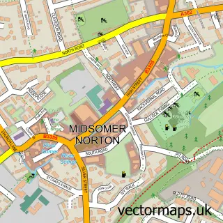
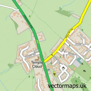
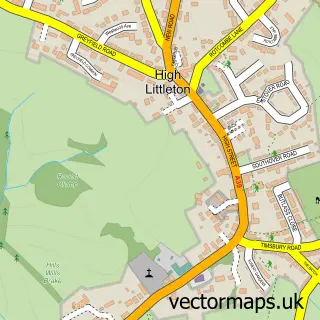
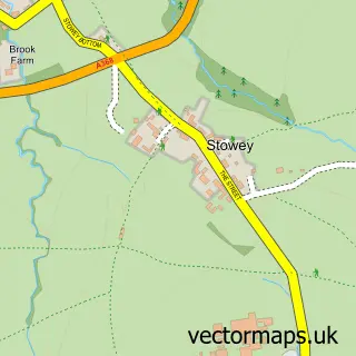
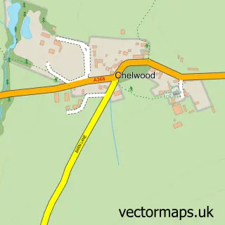
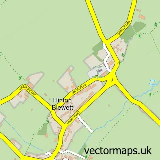
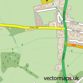
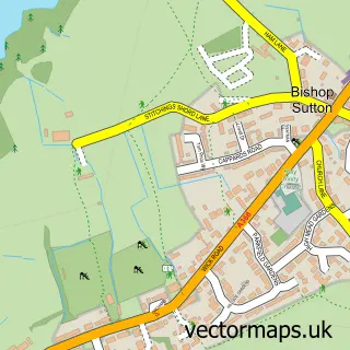
Nearby street map samples around Clutton


More street maps in Somerset
750 metre map area coverage
Boundary, postcode and point of interest information for the 750m x 750m rectangle centred on this sample map.
Boundaries containing map centre
Constituency: North East Somerset and Hanham Co Const
District: Bath and North East Somerset
Icb: NHS Bath and North East Somerset Swindon and Wiltshire ICB
Parish: Clutton CP
Police Force: avon and somerset
Postcode District: BS39
Postcode Sector: BS39 5
Ward: Clutton & Farmborough Ward
Nearby boundaries intersecting sample
No additional intersecting boundaries found.
Postcode coverage
POI category counts
Professional Services: 2
Accountant: 1
Anglican Church: 1
Attractions And Activities: 1
Beauty And Spa: 1
Burger Restaurant: 1
Cafe: 1
Car Dealer: 1
Chiropractor: 1
Church Cathedral: 1
Sample points of interest
- Kings Oak Accountancy Services Ltd.
- St Augustine of Hippo
- Clutton Village
- The Somerset Toiletry Company
- Phat Burger
- The Soap Bar Cafe
- Low Cost Vans Bristol
- Chew Valley Chiropractic
- Church of St Augustine
- AJ Poppins Chimney Sweep
- Avon Dance Academy
- Clutton Primary School
Create a larger editable map of Clutton
This sample shows only a 750 metre area. To create a larger map of Clutton, use our map builder to choose your own coverage area, add titles and download editable SVG, PDF and PNG files.
Create a custom map of Clutton