This Temple Cloud street map is a detailed vector street map covering a 750m x 750m area. Select a larger area to create and download your own vector street map of Temple Cloud.
The 750-metre map sample for Temple Cloud covers 240 mapped buildings and approximately 9.4 km of road detail, of which 14 named roads are named. The immediate area includes 1 school, 1 pub and 1 MOT station, with 3 within 2 miles. The wider area around Temple Cloud features 1 tourism point of interest and 2 food and drink venues. To create a larger or custom map of Temple Cloud, the map builder lets you define your own coverage area and download editable SVG, PDF and PNG files.
Create a larger editable map of Temple Cloud
Choose any area you need and generate a high-quality vector map instantly. Perfect for print, planning, design, business and personal use.

This Temple Cloud street map in Somerset is available as downloadable SVG, PDF and PNG map files, or as a printed map for planning, business, display, education, local information and design work. You can also create a larger custom map area using the map selector.
What this Temple Cloud map sample shows
Temple Cloud lies within Temple Cloud With Cameley Cp parish, part of Mendip ward in the Bath And North East Somerset local authority area. The postcode geography for this area includes the BS postcode area, the BS39 postcode district and the BS39 5 postcode sector. Residents fall under the Nhs Bath And North East Somerset, Swindon And Wiltshire Integrated Care Board for NHS services.
Local features near Temple Cloud
Within 2 milesAmenities and services in and around Temple Cloud.
Administrative and postcode information for Temple Cloud
The local authority covering Temple Cloud is Bath And North East Somerset, within the county of Somerset. The settlement lies within Mendip ward and Temple Cloud With Cameley Cp civil parish. The BS39 postcode district and BS39 5 postcode sector serve the immediate area. NHS provision in the area is delivered through Royal United Hospitals Bath Nhs Foundation Trust.
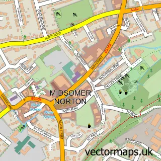
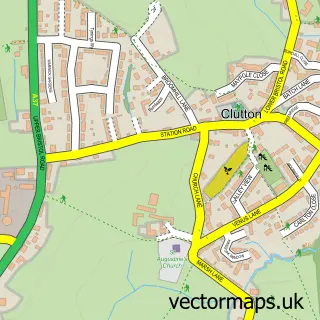
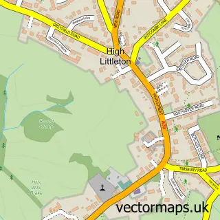
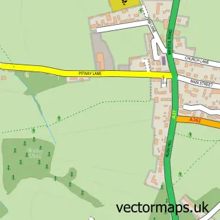
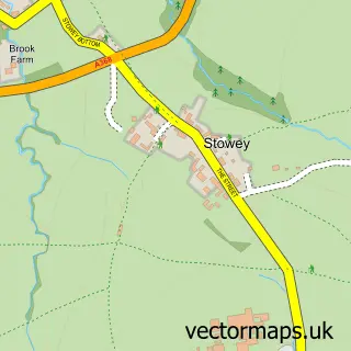
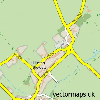
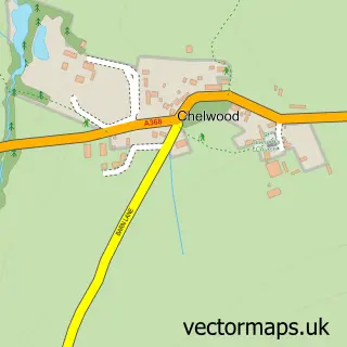
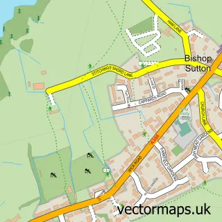
Nearby street map samples around Temple Cloud


More street maps in Somerset
750 metre map area coverage
Boundary, postcode and point of interest information for the 750m x 750m rectangle centred on this sample map.
Boundaries containing map centre
Constituency: North East Somerset and Hanham Co Const
District: Bath and North East Somerset
Icb: NHS Bath and North East Somerset Swindon and Wiltshire ICB
Parish: Temple Cloud with Cameley CP
Police Force: avon and somerset
Postcode District: BS39
Postcode Sector: BS39 5
Ward: Mendip Ward
Nearby boundaries intersecting sample
Parish: Clutton CP
Ward: Clutton & Farmborough Ward
Postcode coverage
POI category counts
Bathroom Remodeling: 3
Gas Station: 3
Automotive Repair: 2
Convenience Store: 2
Fence And Gate Sales Service: 2
Korean Grocery Store: 2
Anglican Church: 1
Auto Body Shop: 1
Bed And Breakfast: 1
Caterer: 1
Sample points of interest
- St Barnabas
- RS Bodyworx Smart Repairs
- Retro Classic Car Garages
- Tinker Taylor Motors
- Chew Valley Bathroom Design
- Chew Valley Bathroom Design
- Chew Valley Bathroom Design
- Old Court
- Catering Components
- AJ Poppins Chimney Sweep
- Costa Express
- Temple Cloud Village Hall
Create a larger editable map of Temple Cloud
This sample shows only a 750 metre area. To create a larger map of Temple Cloud, use our map builder to choose your own coverage area, add titles and download editable SVG, PDF and PNG files.
Create a custom map of Temple Cloud