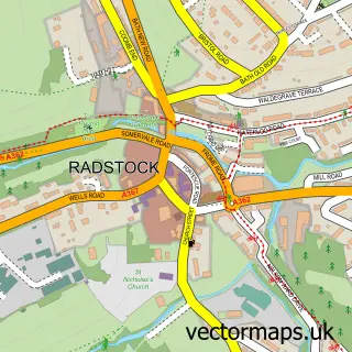
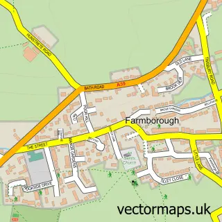
This Radford street map is a detailed vector street map covering a 750m x 750m area. Select a larger area to create and download your own vector street map of Radford.
The 750-metre map sample for Radford covers 51 mapped buildings and approximately 8.2 km of road detail, of which 4 named roads are named. The immediate area includes 4 GP surgeries within 2 miles and 10 MOT stations within 2 miles. The wider area around Radford features 2 hotels. To create a larger or custom map of Radford, the map builder lets you define your own coverage area and download editable SVG, PDF and PNG files.
Create a larger editable map of Radford
Choose any area you need and generate a high-quality vector map instantly. Perfect for print, planning, design, business and personal use.

This Radford street map in Somerset is available as downloadable SVG, PDF and PNG map files, or as a printed map for planning, business, display, education, local information and design work. You can also create a larger custom map area using the map selector.
What this Radford map sample shows
Radford lies within Camerton Cp parish, part of Bathavon South ward in the Bath And North East Somerset local authority area. The postcode geography for this area includes the BA postcode area, the BA2 postcode district and the BA2 0 postcode sector. Residents fall under the Nhs Bath And North East Somerset, Swindon And Wiltshire Integrated Care Board for NHS services.
Local features near Radford
Within 2 milesAmenities and services in and around Radford.
Administrative and postcode information for Radford
The local authority covering Radford is Bath And North East Somerset, within the county of Somerset. The settlement lies within Bathavon South ward and Camerton Cp civil parish. The BA2 postcode district and BA2 0 postcode sector serve the immediate area. NHS provision in the area is delivered through Royal United Hospitals Bath Nhs Foundation Trust.
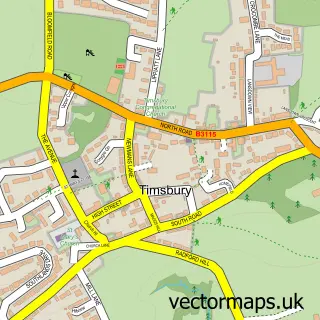
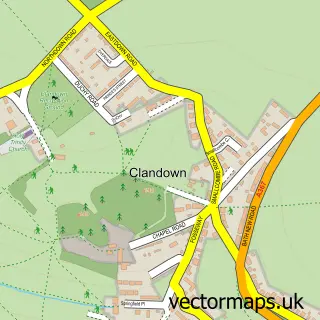
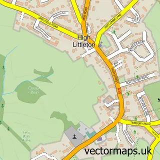
Nearby street map samples around Radford


More street maps in Somerset
750 metre map area coverage
Boundary, postcode and point of interest information for the 750m x 750m rectangle centred on this sample map.
Boundaries containing map centre
Constituency: Frome and East Somerset Co Const
District: Bath and North East Somerset
Icb: NHS Bath and North East Somerset Swindon and Wiltshire ICB
Parish: Camerton CP
Police Force: avon and somerset
Postcode District: BA2
Postcode Sector: BA2 0
Ward: Bathavon South Ward
Nearby boundaries intersecting sample
Constituency: North East Somerset and Hanham Co Const
Parish: Paulton CP, Timsbury CP
Postcode District: BA3
Postcode Sector: BA3 2
Ward: Paulton Ward, Timsbury Ward
Postcode coverage
POI category counts
Hotel: 2
Building Supply Store: 1
Farm: 1
Forestry Service: 1
Horse Boarding: 1
Mortgage Broker: 1
Train Station: 1
Veterinarian: 1
Sample points of interest
- Skip Tip
- Radford Mill
- Tree Top Logs
- Cam Brook Stables
- Radford Villa
- The Old Malt House Hotel
- Ascentia UK
- Radford and Timsbury Halt railway station
- Cam Brook Chooks
Create a larger editable map of Radford
This sample shows only a 750 metre area. To create a larger map of Radford, use our map builder to choose your own coverage area, add titles and download editable SVG, PDF and PNG files.
Create a custom map of Radford