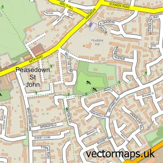
This Radstock street map is a detailed vector street map covering a 750m x 750m area. Select a larger area to create and download your own vector street map of Radstock.
The 750-metre map sample for Radstock covers 269 mapped buildings and approximately 19.1 km of road detail, of which 25 named roads are named. The immediate area includes 1 school, 1 GP surgery, with 4 within 2 miles, 1 pub and 1 MOT station, with 12 within 2 miles. The wider area around Radstock features 4 tourism points of interest, 7 food and drink venues and 2 hotels. To create a larger or custom map of Radstock, the map builder lets you define your own coverage area and download editable SVG, PDF and PNG files.
Create a larger editable map of Radstock
Choose any area you need and generate a high-quality vector map instantly. Perfect for print, planning, design, business and personal use.

This Radstock street map in Somerset is available as downloadable SVG, PDF and PNG map files, or as a printed map for planning, business, display, education, local information and design work. You can also create a larger custom map area using the map selector.
What this Radstock map sample shows
Radstock lies within Radstock Cp parish, part of Radstock ward in the Bath And North East Somerset local authority area. The postcode geography for this area includes the BA postcode area, the BA3 postcode district and the BA3 3 postcode sector. Residents fall under the Nhs Bath And North East Somerset, Swindon And Wiltshire Integrated Care Board for NHS services.
Local features near Radstock
Within 2 milesAmenities and services in and around Radstock.
Administrative and postcode information for Radstock
The local authority covering Radstock is Bath And North East Somerset, within the county of Somerset. The settlement lies within Radstock ward and Radstock Cp civil parish. The BA3 postcode district and BA3 3 postcode sector serve the immediate area. NHS provision in the area is delivered through Royal United Hospitals Bath Nhs Foundation Trust.
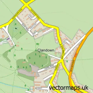
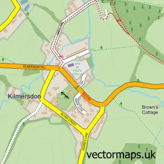
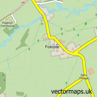
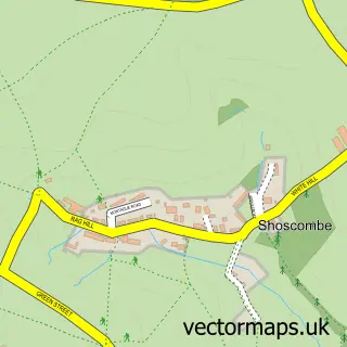
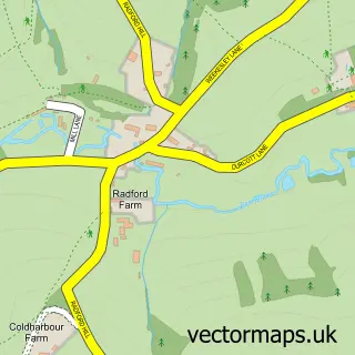
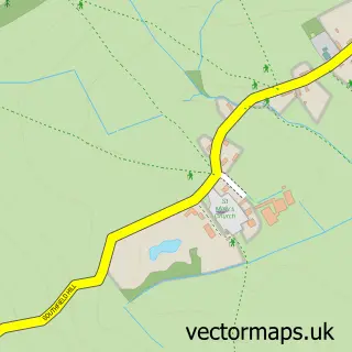
Nearby street map samples around Radstock


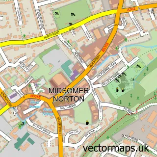
More street maps in Somerset
750 metre map area coverage
Boundary, postcode and point of interest information for the 750m x 750m rectangle centred on this sample map.
Boundaries containing map centre
Constituency: Frome and East Somerset Co Const
District: Bath and North East Somerset
Icb: NHS Bath and North East Somerset Swindon and Wiltshire ICB
Parish: Radstock CP
Police Force: avon and somerset
Postcode District: BA3
Postcode Sector: BA3 3
Ward: Radstock Ward
Nearby boundaries intersecting sample
Parish: Westfield CP
Ward: Westfield Ward
Postcode coverage
POI category counts
Automotive Repair: 6
Gym: 5
Hair Salon: 5
Charity Organization: 4
Beauty Salon: 3
Coffee Shop: 3
Convenience Store: 3
Doctor: 3
Nail Salon: 3
Professional Services: 3
Sample points of interest
- Radstock Town Centre
- St Nicholas Church
- St. Nicholas
- Radstock Museum
- Lido Chef
- H-Sport Performance
- Cartakeback
- Apollo Smart Home Solutions
- Andy Williams The Garage
- CAM Tyre & Welding Co
- Eddie's Paintshop
- Highview Service Station
Create a larger editable map of Radstock
This sample shows only a 750 metre area. To create a larger map of Radstock, use our map builder to choose your own coverage area, add titles and download editable SVG, PDF and PNG files.
Create a custom map of Radstock