This Shoscombe street map is a detailed vector street map covering a 750m x 750m area. Select a larger area to create and download your own vector street map of Shoscombe.
The 750-metre map sample for Shoscombe covers 66 mapped buildings and approximately 6.3 km of road detail, of which 5 named roads are named. The immediate area includes 2 GP surgeries within 2 miles, 1 pub and 5 MOT stations within 2 miles. The wider area around Shoscombe features 2 food and drink venues. To create a larger or custom map of Shoscombe, the map builder lets you define your own coverage area and download editable SVG, PDF and PNG files.
Create a larger editable map of Shoscombe
Choose any area you need and generate a high-quality vector map instantly. Perfect for print, planning, design, business and personal use.

This Shoscombe street map in Somerset is available as downloadable SVG, PDF and PNG map files, or as a printed map for planning, business, display, education, local information and design work. You can also create a larger custom map area using the map selector.
What this Shoscombe map sample shows
Shoscombe lies within Shoscombe Cp parish, part of Bathavon South ward in the Bath And North East Somerset local authority area. The postcode geography for this area includes the BA postcode area, the BA2 postcode district and the BA2 8 postcode sector. Residents fall under the Nhs Bath And North East Somerset, Swindon And Wiltshire Integrated Care Board for NHS services.
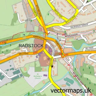
Local features near Shoscombe
Within 2 milesAmenities and services in and around Shoscombe.
Administrative and postcode information for Shoscombe
The local authority covering Shoscombe is Bath And North East Somerset, within the county of Somerset. The settlement lies within Bathavon South ward and Shoscombe Cp civil parish. The BA2 postcode district and BA2 8 postcode sector serve the immediate area. NHS provision in the area is delivered through Royal United Hospitals Bath Nhs Foundation Trust.
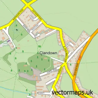
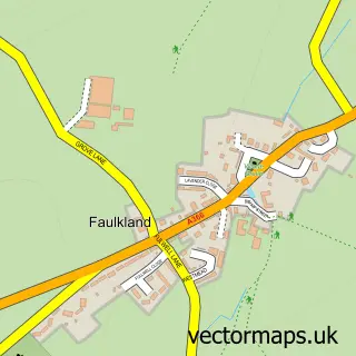
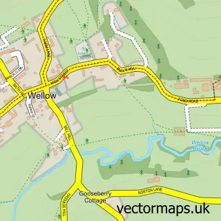
Nearby street map samples around Shoscombe


More street maps in Somerset
750 metre map area coverage
Boundary, postcode and point of interest information for the 750m x 750m rectangle centred on this sample map.
Boundaries containing map centre
Constituency: Frome and East Somerset Co Const
District: Bath and North East Somerset
Icb: NHS Bath and North East Somerset Swindon and Wiltshire ICB
Parish: Shoscombe CP
Police Force: avon and somerset
Postcode District: BA2
Postcode Sector: BA2 8
Ward: Bathavon South Ward
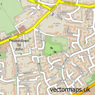
Nearby boundaries intersecting sample
Parish: Peasedown St. John CP
Ward: Peasedown Ward
Postcode coverage
POI category counts
Brewery: 1
Contractor: 1
Corporate Entertainment Services: 1
Driving School: 1
Farm: 1
Flowers And Gifts Shop: 1
Hospital: 1
Life Coach: 1
Pub: 1
Restaurant: 1
Sample points of interest
- Somer Valley Brewing
- L E Services
- Humble Pie Puppet Pantomine
- Mark Bryan ADI Driving Instructor
- Inglescombe Farm Christmas Trees
- Stitched in Somer Valley
- Circle Bath Hospital
- Project Self
- Apple Tree
- The Apple Tree Inn
Create a larger editable map of Shoscombe
This sample shows only a 750 metre area. To create a larger map of Shoscombe, use our map builder to choose your own coverage area, add titles and download editable SVG, PDF and PNG files.
Create a custom map of Shoscombe