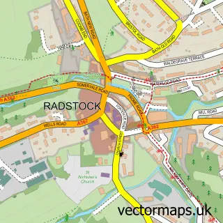
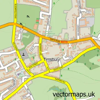
This Clandown street map is a detailed vector street map covering a 750m x 750m area. Select a larger area to create and download your own vector street map of Clandown.
The 750-metre map sample for Clandown covers 194 mapped buildings and approximately 13.7 km of road detail, of which 15 named roads are named. The immediate area includes 6 GP surgeries within 2 miles, 2 pubs and 14 MOT stations within 2 miles. The wider area around Clandown features 1 tourism point of interest and 3 food and drink venues. To create a larger or custom map of Clandown, the map builder lets you define your own coverage area and download editable SVG, PDF and PNG files.
Create a larger editable map of Clandown
Choose any area you need and generate a high-quality vector map instantly. Perfect for print, planning, design, business and personal use.

This Clandown street map in Somerset is available as downloadable SVG, PDF and PNG map files, or as a printed map for planning, business, display, education, local information and design work. You can also create a larger custom map area using the map selector.
What this Clandown map sample shows
Clandown lies within Radstock Cp parish, part of Radstock ward in the Bath And North East Somerset local authority area. The postcode geography for this area includes the BA postcode area, the BA3 postcode district and the BA3 3 postcode sector. Residents fall under the Nhs Bath And North East Somerset, Swindon And Wiltshire Integrated Care Board for NHS services.
Local features near Clandown
Within 2 milesAmenities and services in and around Clandown.
Administrative and postcode information for Clandown
Clandown lies within Radstock Cp parish, part of Radstock ward in the Bath And North East Somerset local authority area. The postcode geography for this area includes the BA postcode area, the BA3 postcode district and the BA3 3 postcode sector. Residents fall under the Nhs Bath And North East Somerset, Swindon And Wiltshire Integrated Care Board for NHS services.
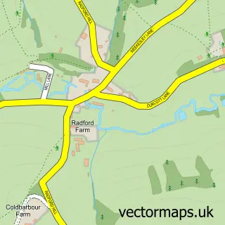
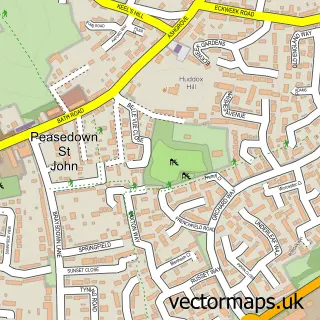
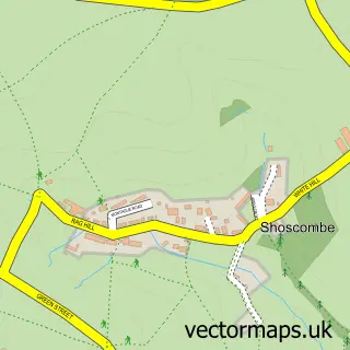
Nearby street map samples around Clandown


More street maps in Somerset
750 metre map area coverage
Boundary, postcode and point of interest information for the 750m x 750m rectangle centred on this sample map.
Boundaries containing map centre
Constituency: Frome and East Somerset Co Const
District: Bath and North East Somerset
Icb: NHS Bath and North East Somerset Swindon and Wiltshire ICB
Parish: Radstock CP
Police Force: avon and somerset
Postcode District: BA3
Postcode Sector: BA3 3
Ward: Radstock Ward
Nearby boundaries intersecting sample
Constituency: North East Somerset and Hanham Co Const
Parish: Camerton CP, Paulton CP
Postcode Sector: BA3 2
Ward: Bathavon South Ward, Paulton Ward
Postcode coverage
POI category counts
Contractor: 2
Pub: 2
Bar: 1
Building Supply Store: 1
Business Office Supplies And Stationery: 1
Church Cathedral: 1
Computer Hardware Company: 1
Convenience Store: 1
Event Planning: 1
Gardener: 1
Sample points of interest
- Lamb Inn
- LFT Plumbing & Heating Services Radstock
- Heritage Direct
- Radstock Methodist Church
- R G Services
- Cam Plant Hire Ltd
- Remac Ltd
- Clandown Stores
- Split Second Timing
- SGS Landscape Construction
- Clandown
- Bidwell Metals
Create a larger editable map of Clandown
This sample shows only a 750 metre area. To create a larger map of Clandown, use our map builder to choose your own coverage area, add titles and download editable SVG, PDF and PNG files.
Create a custom map of Clandown