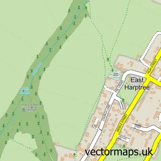
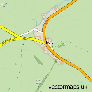
This West Harptree street map is a detailed vector street map covering a 750m x 750m area. Select a larger area to create and download your own vector street map of West Harptree.
The 750-metre map sample for West Harptree covers 96 mapped buildings and approximately 9.4 km of road detail, of which 8 named roads are named. The immediate area includes 1 GP surgery, 1 pub and 1 MOT station within 2 miles. The wider area around West Harptree features 1 food and drink venue and 1 campsite within 2 miles. To create a larger or custom map of West Harptree, the map builder lets you define your own coverage area and download editable SVG, PDF and PNG files.
Create a larger editable map of West Harptree
Choose any area you need and generate a high-quality vector map instantly. Perfect for print, planning, design, business and personal use.

This West Harptree street map in Somerset is available as downloadable SVG, PDF and PNG map files, or as a printed map for planning, business, display, education, local information and design work. You can also create a larger custom map area using the map selector.
What this West Harptree map sample shows
West Harptree lies within West Harptree Cp parish, part of Mendip ward in the Bath And North East Somerset local authority area. The postcode geography for this area includes the BS postcode area, the BS40 postcode district and the BS40 6 postcode sector. Residents fall under the Nhs Bath And North East Somerset, Swindon And Wiltshire Integrated Care Board for NHS services.
Local features near West Harptree
Within 2 milesAmenities and services in and around West Harptree.
Administrative and postcode information for West Harptree
West Harptree lies within West Harptree Cp parish, part of Mendip ward in the Bath And North East Somerset local authority area. The postcode geography for this area includes the BS postcode area, the BS40 postcode district and the BS40 6 postcode sector. Residents fall under the Nhs Bath And North East Somerset, Swindon And Wiltshire Integrated Care Board for NHS services.
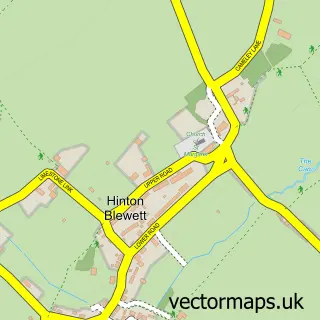
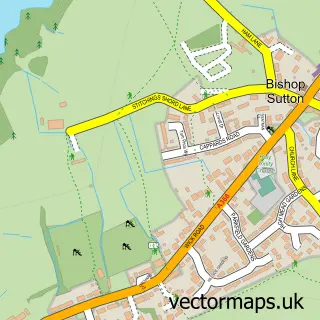
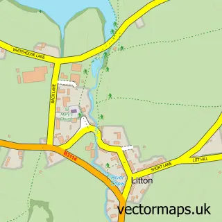
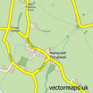
Nearby street map samples around West Harptree

More street maps in Somerset
750 metre map area coverage
Boundary, postcode and point of interest information for the 750m x 750m rectangle centred on this sample map.
Boundaries containing map centre
Constituency: North East Somerset and Hanham Co Const
District: Bath and North East Somerset
Icb: NHS Bath and North East Somerset Swindon and Wiltshire ICB
Parish: West Harptree CP
Police Force: avon and somerset
Postcode District: BS40
Postcode Sector: BS40 6
Ward: Mendip Ward
Nearby boundaries intersecting sample
No additional intersecting boundaries found.
Postcode coverage
POI category counts
Church Cathedral: 2
Anglican Church: 1
Caterer: 1
Dentist: 1
Government Services: 1
Health And Medical: 1
Interior Design: 1
Martial Arts Club: 1
Pub: 1
Sample points of interest
- St Mary
- Quality Catering Maintenance
- Church of St Mary
- United Parish of East Harptree, West Harptree and Hinton Blewett
- Harptree Dental Surgery
- Memorial Hall
- Harptree & Cameley Surgeries
- Sim Barker Interior Design & Colour Consulting
- Chew Valley Brazilian Jiu Jitsu
- Crown Inn
Create a larger editable map of West Harptree
This sample shows only a 750 metre area. To create a larger map of West Harptree, use our map builder to choose your own coverage area, add titles and download editable SVG, PDF and PNG files.
Create a custom map of West Harptree