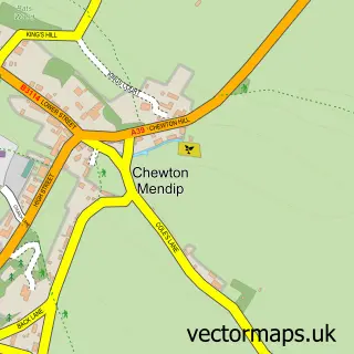
This East Harptree street map is a detailed vector street map covering a 750m x 750m area. Select a larger area to create and download your own vector street map of East Harptree.
The 750-metre map sample for East Harptree covers 139 mapped buildings and approximately 4.7 km of road detail, of which 9 named roads are named. The immediate area includes 1 school, 1 GP surgery within 2 miles and 1 pub. The wider area around East Harptree features 1 tourism point of interest, 1 food and drink venue and 1 campsite within 2 miles. To create a larger or custom map of East Harptree, the map builder lets you define your own coverage area and download editable SVG, PDF and PNG files.
Create a larger editable map of East Harptree
Choose any area you need and generate a high-quality vector map instantly. Perfect for print, planning, design, business and personal use.

This East Harptree street map in Somerset is available as downloadable SVG, PDF and PNG map files, or as a printed map for planning, business, display, education, local information and design work. You can also create a larger custom map area using the map selector.
What this East Harptree map sample shows
East Harptree lies within East Harptree Cp parish, part of Mendip ward in the Bath And North East Somerset local authority area. The postcode geography for this area includes the BS postcode area, the BS40 postcode district and the BS40 6 postcode sector. Residents fall under the Nhs Bath And North East Somerset, Swindon And Wiltshire Integrated Care Board for NHS services.
Local features near East Harptree
Within 2 milesAmenities and services in and around East Harptree.
Administrative and postcode information for East Harptree
East Harptree lies within East Harptree Cp parish, part of Mendip ward in the Bath And North East Somerset local authority area. The postcode geography for this area includes the BS postcode area, the BS40 postcode district and the BS40 6 postcode sector. Residents fall under the Nhs Bath And North East Somerset, Swindon And Wiltshire Integrated Care Board for NHS services.
Nearby street map samples around East Harptree

More street maps in Somerset
750 metre map area coverage
Boundary, postcode and point of interest information for the 750m x 750m rectangle centred on this sample map.
Boundaries containing map centre
Constituency: North East Somerset and Hanham Co Const
District: Bath and North East Somerset
Icb: NHS Bath and North East Somerset Swindon and Wiltshire ICB
Parish: East Harptree CP
Police Force: avon and somerset
Postcode District: BS40
Postcode Sector: BS40 6
Ward: Mendip Ward
Nearby boundaries intersecting sample
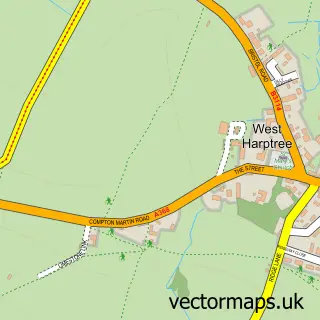
Parish: West Harptree CP
Postcode coverage
POI category counts
Preschool: 2
Business: 1
Carpenter: 1
Church Cathedral: 1
Elementary School: 1
Engineering Services: 1
Flowers And Gifts Shop: 1
Gym: 1
Information Technology Company: 1
Landmark And Historical Building: 1
Sample points of interest
- Kingsmead Square
- BH Carpentry
- St Laurence Church
- East Harptree CE VC Primary School
- TCH Safety
- Wild Rose Flowers | Wedding and Event Florist, Chew Valley, Wells Somerset, Bath
- Arts Hub East Harptree
- Thinking Data
- Harptree Coombe Aqueduct
- Episode One Strategic Marketing & Design
- East Harptree Nursery
- East Harptree Nursery Pre School
Create a larger editable map of East Harptree
This sample shows only a 750 metre area. To create a larger map of East Harptree, use our map builder to choose your own coverage area, add titles and download editable SVG, PDF and PNG files.
Create a custom map of East Harptree