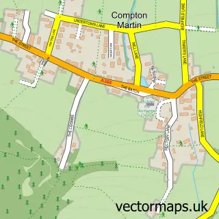
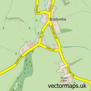
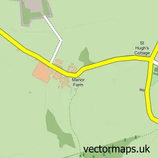
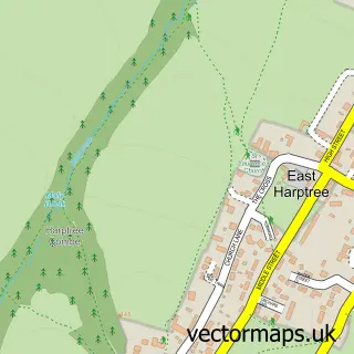
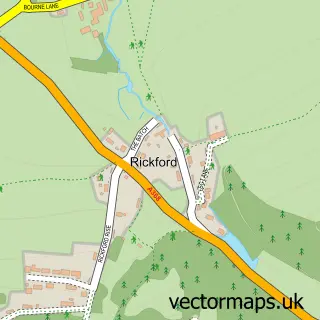
This Ubley street map is a detailed vector street map covering a 750m x 750m area. Select a larger area to create and download your own vector street map of Ubley.
The 750-metre map sample for Ubley covers 132 mapped buildings and approximately 7.7 km of road detail, of which 8 named roads are named. The immediate area includes 1 school and 1 MOT station within 2 miles. The wider area around Ubley features 1 campsite within 2 miles. To create a larger or custom map of Ubley, the map builder lets you define your own coverage area and download editable SVG, PDF and PNG files.
Create a larger editable map of Ubley
Choose any area you need and generate a high-quality vector map instantly. Perfect for print, planning, design, business and personal use.

This Ubley street map in Somerset is available as downloadable SVG, PDF and PNG map files, or as a printed map for planning, business, display, education, local information and design work. You can also create a larger custom map area using the map selector.
What this Ubley map sample shows
Ubley lies within Ubley Cp parish, part of Chew Valley ward in the Bath And North East Somerset local authority area. The postcode geography for this area includes the BS postcode area, the BS40 postcode district and the BS40 6 postcode sector. Residents fall under the Nhs Bath And North East Somerset, Swindon And Wiltshire Integrated Care Board for NHS services.
Local features near Ubley
Within 2 milesAmenities and services in and around Ubley.
Administrative and postcode information for Ubley
Ubley lies within Ubley Cp parish, part of Chew Valley ward in the Bath And North East Somerset local authority area. The postcode geography for this area includes the BS postcode area, the BS40 postcode district and the BS40 6 postcode sector. Residents fall under the Nhs Bath And North East Somerset, Swindon And Wiltshire Integrated Care Board for NHS services.
Nearby street map samples around Ubley


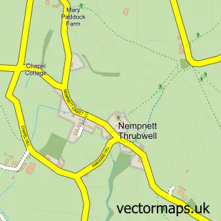
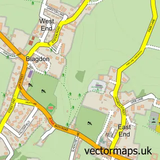
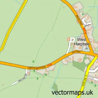
More street maps in Somerset
750 metre map area coverage
Boundary, postcode and point of interest information for the 750m x 750m rectangle centred on this sample map.
Boundaries containing map centre
Constituency: North East Somerset and Hanham Co Const
District: Bath and North East Somerset
Icb: NHS Bath and North East Somerset Swindon and Wiltshire ICB
Parish: Ubley CP
Police Force: avon and somerset
Postcode District: BS40
Postcode Sector: BS40 6
Ward: Chew Valley Ward
Nearby boundaries intersecting sample
No additional intersecting boundaries found.
Postcode coverage
POI category counts
Anglican Church: 1
Architectural Designer: 1
Auto Customization: 1
Bakery: 1
Business Manufacturing And Supply: 1
Church Cathedral: 1
Community Center: 1
Dog Trainer: 1
Electronics: 1
Elementary School: 1
Sample points of interest
- St Bartholomew
- R D Architects Ltd
- Auto-Camp Garage
- Kinetic Kitchen
- Bath Culture House
- Church of St Bartholomew
- Ubley Village Hall
- Dog House Blues Dog Services
- Kudos Business Technologies Ltd.
- Ubley Church of England Primary School
- Grown Studio Somerset
- Sbi Interiors
Create a larger editable map of Ubley
This sample shows only a 750 metre area. To create a larger map of Ubley, use our map builder to choose your own coverage area, add titles and download editable SVG, PDF and PNG files.
Create a custom map of Ubley