This Charterhouse street map is a detailed vector street map covering a 750m x 750m area. Select a larger area to create and download your own vector street map of Charterhouse.
The 750-metre map sample for Charterhouse covers 27 mapped buildings and approximately 7.0 km of road detail. The wider area around Charterhouse features 4 tourism points of interest. To create a larger or custom map of Charterhouse, the map builder lets you define your own coverage area and download editable SVG, PDF and PNG files.
Create a larger editable map of Charterhouse
Choose any area you need and generate a high-quality vector map instantly. Perfect for print, planning, design, business and personal use.

This Charterhouse street map in Somerset is available as downloadable SVG, PDF and PNG map files, or as a printed map for planning, business, display, education, local information and design work. You can also create a larger custom map area using the map selector.
What this Charterhouse map sample shows
Charterhouse lies within Priddy Cp parish, part of Chewton Mendip And Ston Easton ward in the Somerset local authority area. The postcode geography for this area includes the BS postcode area, the BS40 postcode district and the BS40 7 postcode sector. Residents fall under the Nhs Somerset Integrated Care Board for NHS services.
Local features near Charterhouse
Within 2 milesAmenities and services in and around Charterhouse.
Administrative and postcode information for Charterhouse
The local authority covering Charterhouse is Somerset, within the county of Somerset. The settlement lies within Chewton Mendip And Ston Easton ward and Priddy Cp civil parish. The BS40 postcode district and BS40 7 postcode sector serve the immediate area. NHS provision in the area is delivered through Somerset Nhs Foundation Trust.
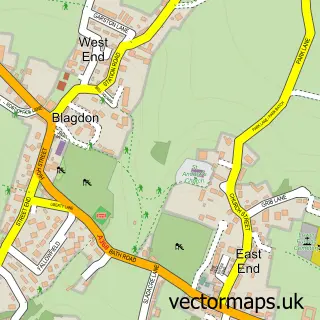
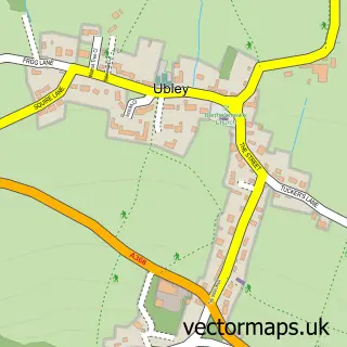
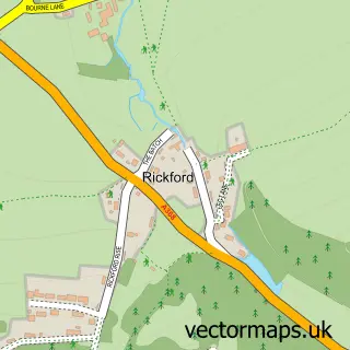
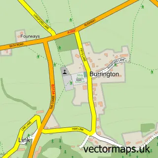
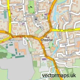
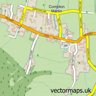
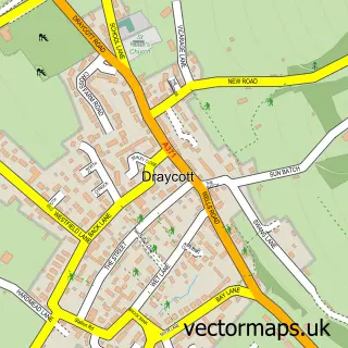
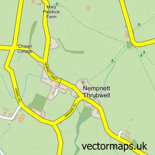
Nearby street map samples around Charterhouse


More street maps in Somerset
750 metre map area coverage
Boundary, postcode and point of interest information for the 750m x 750m rectangle centred on this sample map.
Boundaries containing map centre
Constituency: Wells and Mendip Hills Co Const
District: Somerset
Icb: NHS Somerset ICB
Parish: Priddy CP
Police Force: avon and somerset
Postcode District: BS40
Postcode Sector: BS40 7
Nearby boundaries intersecting sample
No additional intersecting boundaries found.
Postcode coverage
POI category counts
Landmark And Historical Building: 2
Attractions And Activities: 1
Cave: 1
Church Cathedral: 1
Nature Reserve: 1
Park: 1
Pet Store: 1
Professional Services: 1
Sports And Recreation Venue: 1
Sample points of interest
- Mendip Hills
- Manor Farm Swallet
- St Hugh's Church
- Charterhouse, Somerset
- Mendip Hills-National Trust
- Ubley Warren
- Mendip Hills Area of Outstanding Natural Beauty
- Mendip Wood Shavings
- Mendip Hills Area of Natural Beauty
- Charterhouse Outdoor Activity Centre
Create a larger editable map of Charterhouse
This sample shows only a 750 metre area. To create a larger map of Charterhouse, use our map builder to choose your own coverage area, add titles and download editable SVG, PDF and PNG files.
Create a custom map of Charterhouse