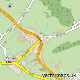
This Draycott street map is a detailed vector street map covering a 750m x 750m area. Select a larger area to create and download your own vector street map of Draycott.
The 750-metre map sample for Draycott covers 395 mapped buildings and approximately 22.0 km of road detail, of which 32 named roads are named. The immediate area includes 1 school, 1 GP surgery within 2 miles, 1 pub and 2 MOT stations within 2 miles. The wider area around Draycott features 1 food and drink venue, 1 hotel and 6 campsites within 2 miles. To create a larger or custom map of Draycott, the map builder lets you define your own coverage area and download editable SVG, PDF and PNG files.
Create a larger editable map of Draycott
Choose any area you need and generate a high-quality vector map instantly. Perfect for print, planning, design, business and personal use.

This Draycott street map in Somerset is available as downloadable SVG, PDF and PNG map files, or as a printed map for planning, business, display, education, local information and design work. You can also create a larger custom map area using the map selector.
What this Draycott map sample shows
Draycott lies within Rodney Stoke Cp parish, part of Rodney And Westbury ward in the Somerset local authority area. The postcode geography for this area includes the BS postcode area, the BS27 postcode district and the BS27 3 postcode sector. Residents fall under the Nhs Somerset Integrated Care Board for NHS services.
Local features near Draycott
Within 2 milesAmenities and services in and around Draycott.
Administrative and postcode information for Draycott
The local authority covering Draycott is Somerset, within the county of Somerset. The settlement lies within Rodney And Westbury ward and Rodney Stoke Cp civil parish. The BS27 postcode district and BS27 3 postcode sector serve the immediate area. NHS provision in the area is delivered through Somerset Nhs Foundation Trust.
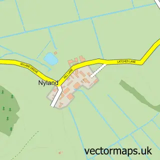
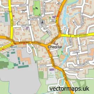
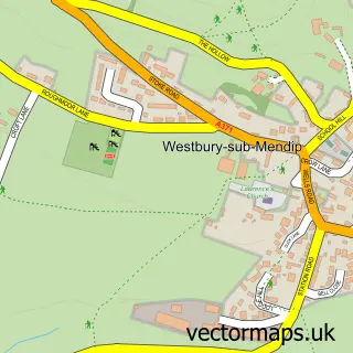
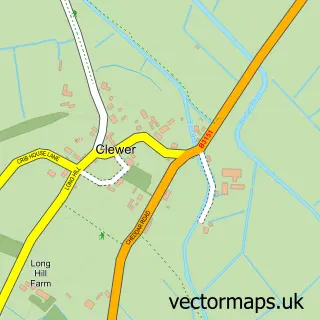
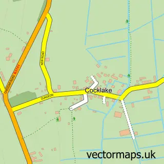
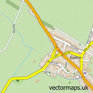
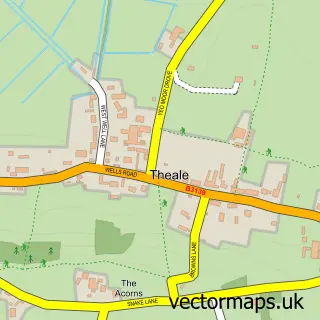
Nearby street map samples around Draycott


More street maps in Somerset
750 metre map area coverage
Boundary, postcode and point of interest information for the 750m x 750m rectangle centred on this sample map.
Boundaries containing map centre
Constituency: Wells and Mendip Hills Co Const
District: Somerset
Icb: NHS Somerset ICB
Parish: Rodney Stoke CP
Police Force: avon and somerset
Postcode District: BS27
Postcode Sector: BS27 3
Nearby boundaries intersecting sample
Parish: Cheddar CP
Postcode coverage
POI category counts
Convenience Store: 2
Electrician: 2
Elementary School: 2
Retail: 2
Anglican Church: 1
Assisted Living Facility: 1
Beauty Salon: 1
Bed And Breakfast: 1
Building Supply Store: 1
Business Management Services: 1
Sample points of interest
- St Peter's Church, Draycott
- Street Farm
- Lashes By Madi
- Oakland House
- Sansum Cleaning Solutions
- ReeDefined Executive Coaching
- Cheddar Cleaning Company
- Draycott Memorial Hall
- Wells Cathedral Stonemasons
- Draycott Community Shop
- Draycott Community Shop
- Bourne Electrics
Create a larger editable map of Draycott
This sample shows only a 750 metre area. To create a larger map of Draycott, use our map builder to choose your own coverage area, add titles and download editable SVG, PDF and PNG files.
Create a custom map of Draycott