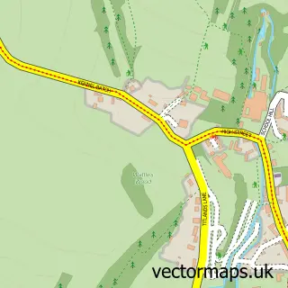
This Westbury-sub-Mendip street map is a detailed vector street map covering a 750m x 750m area. Select a larger area to create and download your own vector street map of Westbury-sub-Mendip.
The 750-metre map sample for Westbury-sub-Mendip covers 193 mapped buildings and approximately 11.7 km of road detail, of which 15 named roads are named. The immediate area includes 1 school, 1 pub and 1 MOT station, with 3 within 2 miles. The wider area around Westbury-sub-Mendip features 1 food and drink venue, 1 hotel and 2 campsites within 2 miles. To create a larger or custom map of Westbury-sub-Mendip, the map builder lets you define your own coverage area and download editable SVG, PDF and PNG files.
Create a larger editable map of Westbury-sub-Mendip
Choose any area you need and generate a high-quality vector map instantly. Perfect for print, planning, design, business and personal use.

This Westbury-sub-Mendip street map in Somerset is available as downloadable SVG, PDF and PNG map files, or as a printed map for planning, business, display, education, local information and design work. You can also create a larger custom map area using the map selector.
What this Westbury-sub-Mendip map sample shows
Westbury-sub-Mendip lies within Westbury Cp parish, part of Rodney And Westbury ward in the Somerset local authority area. The postcode geography for this area includes the BA postcode area, the BA5 postcode district and the BA5 1 postcode sector. Residents fall under the Nhs Somerset Integrated Care Board for NHS services.
Local features near Westbury-sub-Mendip
Within 2 milesAmenities and services in and around Westbury-sub-Mendip.
Administrative and postcode information for Westbury-sub-Mendip
The local authority covering Westbury-sub-Mendip is Somerset, within the county of Somerset. The settlement lies within Rodney And Westbury ward and Westbury Cp civil parish. The BA5 postcode district and BA5 1 postcode sector serve the immediate area. NHS provision in the area is delivered through Somerset Nhs Foundation Trust.
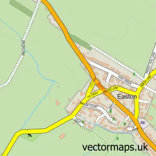
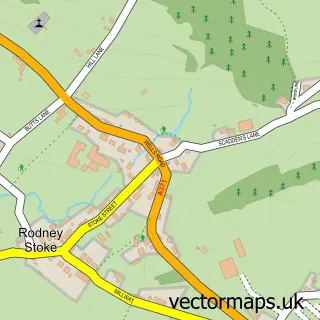
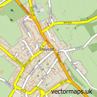
Nearby street map samples around Westbury-sub-Mendip


More street maps in Somerset
750 metre map area coverage
Boundary, postcode and point of interest information for the 750m x 750m rectangle centred on this sample map.
Boundaries containing map centre
Constituency: Wells and Mendip Hills Co Const
District: Somerset
Icb: NHS Somerset ICB
Parish: Westbury CP
Police Force: avon and somerset
Postcode District: BA5
Postcode Sector: BA5 1
Nearby boundaries intersecting sample
No additional intersecting boundaries found.
Postcode coverage
POI category counts
Furniture Store: 3
Automotive: 2
Automotive Repair: 2
Building Supply Store: 2
Metal Fabricator: 2
Professional Services: 2
Shipping Center: 2
Anglican Church: 1
Appliance Store: 1
Auto Body Shop: 1
Sample points of interest
- St Lawrence
- Custom Cameras Ltd.
- Wessex Bodyworks
- Resina Designs
- James Mercer Ltd.
- James Mercer Ltd. station garage
- Autorapide
- D J Simpson Engineering
- Westbury Cross House
- Kiddimoto
- T Montgomery Joinery & Furniture Makers
- West Hill Garden & Landscaping Services
Create a larger editable map of Westbury-sub-Mendip
This sample shows only a 750 metre area. To create a larger map of Westbury-sub-Mendip, use our map builder to choose your own coverage area, add titles and download editable SVG, PDF and PNG files.
Create a custom map of Westbury-sub-Mendip