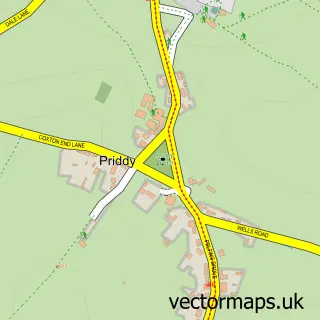
This Rodney Stoke street map is a detailed vector street map covering a 750m x 750m area. Select a larger area to create and download your own vector street map of Rodney Stoke.
The 750-metre map sample for Rodney Stoke covers 129 mapped buildings and approximately 12.0 km of road detail, of which 10 named roads are named. The immediate area includes 1 pub and 1 MOT station, with 2 within 2 miles. The wider area around Rodney Stoke features 3 tourism points of interest, 1 food and drink venue and 2 hotels. To create a larger or custom map of Rodney Stoke, the map builder lets you define your own coverage area and download editable SVG, PDF and PNG files.
Create a larger editable map of Rodney Stoke
Choose any area you need and generate a high-quality vector map instantly. Perfect for print, planning, design, business and personal use.

This Rodney Stoke street map in Somerset is available as downloadable SVG, PDF and PNG map files, or as a printed map for planning, business, display, education, local information and design work. You can also create a larger custom map area using the map selector.
What this Rodney Stoke map sample shows
Rodney Stoke lies within Rodney Stoke Cp parish, part of Rodney And Westbury ward in the Somerset local authority area. The postcode geography for this area includes the BS postcode area, the BS27 postcode district and the BS27 3 postcode sector. Residents fall under the Nhs Somerset Integrated Care Board for NHS services.
Local features near Rodney Stoke
Within 2 milesAmenities and services in and around Rodney Stoke.
Administrative and postcode information for Rodney Stoke
Rodney Stoke lies within Rodney Stoke Cp parish, part of Rodney And Westbury ward in the Somerset local authority area. The postcode geography for this area includes the BS postcode area, the BS27 postcode district and the BS27 3 postcode sector. Residents fall under the Nhs Somerset Integrated Care Board for NHS services.
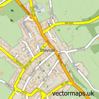
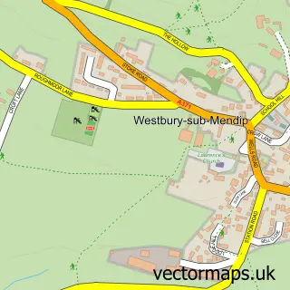
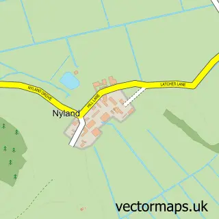
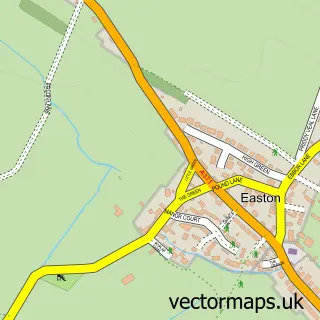
Nearby street map samples around Rodney Stoke


More street maps in Somerset
750 metre map area coverage
Boundary, postcode and point of interest information for the 750m x 750m rectangle centred on this sample map.
Boundaries containing map centre
Constituency: Wells and Mendip Hills Co Const
District: Somerset
Icb: NHS Somerset ICB
Parish: Rodney Stoke CP
Police Force: avon and somerset
Postcode District: BS27
Postcode Sector: BS27 3
Nearby boundaries intersecting sample
Parish: Westbury CP
Postcode District: BA5
Postcode Sector: BA5 1
Postcode coverage
POI category counts
Campground: 2
Animal Shelter: 1
Automotive Repair: 1
Cabin: 1
Engineering Services: 1
Farm: 1
Farmers Market: 1
Hotel: 1
National Park: 1
Pet Groomer: 1
Sample points of interest
- Furlong Nursery Luxury Cattery
- Rodney Stoke Garage
- Maytree Barn
- Bucklegrove Caravan Parks
- The Rodney Stoke Caravan and Camping Park
- Brasec Radar Consultants
- Edcombe Farm
- Strawberry Farm Shop
- Oakland House
- Rodney Stoke SSSI
- The Grooming Room
- The Rodney Stoke Inn
Create a larger editable map of Rodney Stoke
This sample shows only a 750 metre area. To create a larger map of Rodney Stoke, use our map builder to choose your own coverage area, add titles and download editable SVG, PDF and PNG files.
Create a custom map of Rodney Stoke