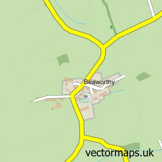
This Black Torrington street map is a detailed vector street map covering a 750m x 750m area. Select a larger area to create and download your own vector street map of Black Torrington.
The 750-metre map sample for Black Torrington covers 117 mapped buildings and approximately 7.1 km of road detail, of which 7 named roads are named. The immediate area includes 1 school, 1 GP surgery, 1 pub and 1 MOT station within 2 miles. The wider area around Black Torrington features 1 food and drink venue and 3 campsites within 2 miles. To create a larger or custom map of Black Torrington, the map builder lets you define your own coverage area and download editable SVG, PDF and PNG files.
Create a larger editable map of Black Torrington
Choose any area you need and generate a high-quality vector map instantly. Perfect for print, planning, design, business and personal use.

This Black Torrington street map in Devon is available as downloadable SVG, PDF and PNG map files, or as a printed map for planning, business, display, education, local information and design work. You can also create a larger custom map area using the map selector.
What this Black Torrington map sample shows
Black Torrington lies within Black Torrington Cp parish, part of Broadheath ward in the Torridge District local authority area. The postcode geography for this area includes the EX postcode area, the EX21 postcode district and the EX21 5 postcode sector. Residents fall under the Nhs Devon Integrated Care Board for NHS services.
Local features near Black Torrington
Within 2 milesAmenities and services in and around Black Torrington.
Administrative and postcode information for Black Torrington
The local authority covering Black Torrington is Torridge District, within the county of Devon. The settlement lies within Broadheath ward and Black Torrington Cp civil parish. The EX21 postcode district and EX21 5 postcode sector serve the immediate area. NHS provision in the area is delivered through Northern Devon Nhs Trust.
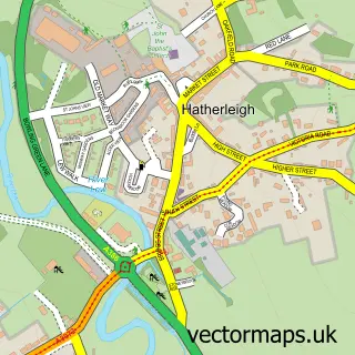
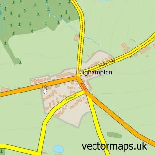
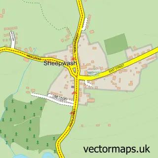
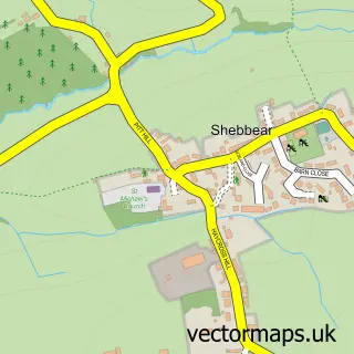
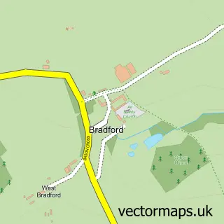
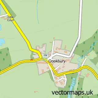
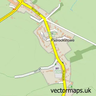
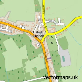
Nearby street map samples around Black Torrington

More street maps in Devon
750 metre map area coverage
Boundary, postcode and point of interest information for the 750m x 750m rectangle centred on this sample map.
Boundaries containing map centre
Constituency: Torridge and Tavistock Co Const
County: Devon County
District: Torridge District
Icb: NHS Devon ICB
Parish: Black Torrington CP
Police Force: devon and cornwall
Postcode District: EX21
Postcode Sector: EX21 5
Ward: Broadheath Ward
Nearby boundaries intersecting sample
No additional intersecting boundaries found.
Postcode coverage
POI category counts
Doctor: 2
Anglican Church: 1
Architectural Designer: 1
Arts And Crafts: 1
Beauty And Spa: 1
Cleaning Services: 1
Cremation Services: 1
Elementary School: 1
Event Planning: 1
Funeral Services And Cemeteries: 1
Sample points of interest
- St Mary's.
- AHA Designs
- The Bead & Fibre Cellar
- Refinedbeauty.devon
- A Sweep Plus
- Norman Lock & Son Funeral Director
- Black Torrington Surgery
- Blake House Surgery
- Black Torrington Church of England Primary School
- Black Torrington Village Hall
- Lock C Funeral Director
- Pump House Upholstery
Create a larger editable map of Black Torrington
This sample shows only a 750 metre area. To create a larger map of Black Torrington, use our map builder to choose your own coverage area, add titles and download editable SVG, PDF and PNG files.
Create a custom map of Black Torrington